Backroads Around Las Vegas, Avi Kwa Ame National Monument
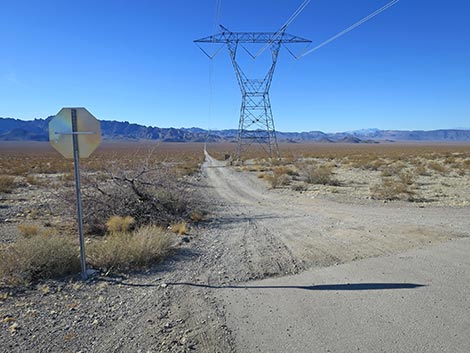 Edge of pavement and stop sign along Highway 95 (view W) |
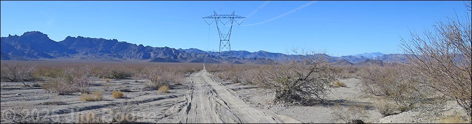
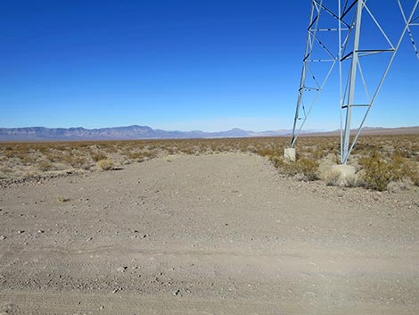
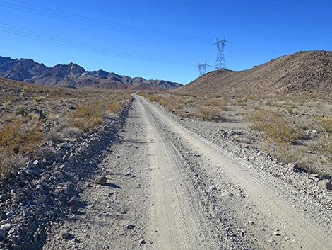
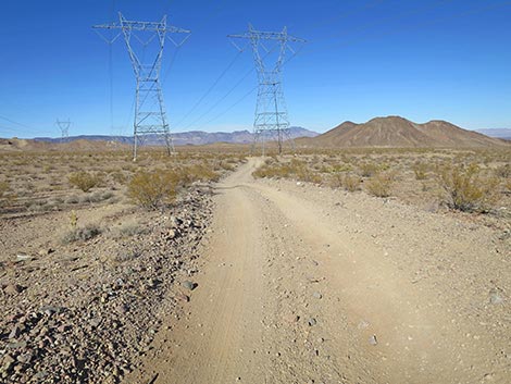
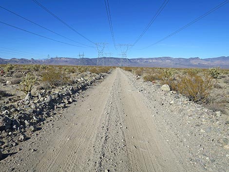
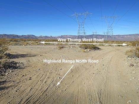
Overview Highland Range North Road is a graded powerline road that runs more or less east-west across Eldorado Valley connecting Highway 95 with the north end of Highland Range East Road and then northwest to end at an intersection with Wee Thump West Road. This road provides access to the northern portion of the Highland Range with great views of towering cliffs, deep canyons, and broad desert flats. The road runs under powerlines the entire way, which detracts from the grand scenery, although, ignoring this, the scenery is grand. At each power tower, there is a pull-out area where visitors can stop to enjoy the scenery and perhaps camp or eat a picnic lunch. Under normal conditions, this road is passable in any medium-clearance vehicle. Crossing the sandy bottom of Eldorado Valley, flash floods can create sandy conditions where the road the washes out. Link to map. |
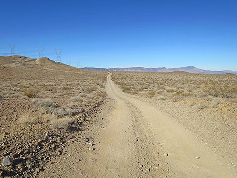
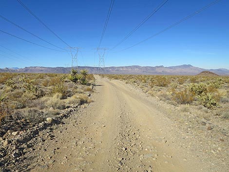
 Beginning of Highland Range North Road off Highway 95 (view W) |
Watch Out Other than the standard warnings about driving in the desert, ...this road is pretty safe when the weather is cool. If the weather is hot, this place can be unbelievably hot. In the bottom of Eldorado Valley, flash floods can create soft, sandy conditions where the road crosses the washes. The road is subject to flash floods in several areas, and several ditches cross the road. There is one particularly rocky spot towards the middle of the road; however, careful drivers should have no trouble here in medium-clearance vehicles. While out, please respect the land and the other people out there, and please try to Leave No Trace of your passage. Be sure to bring what you need of the 10 Essentials. |
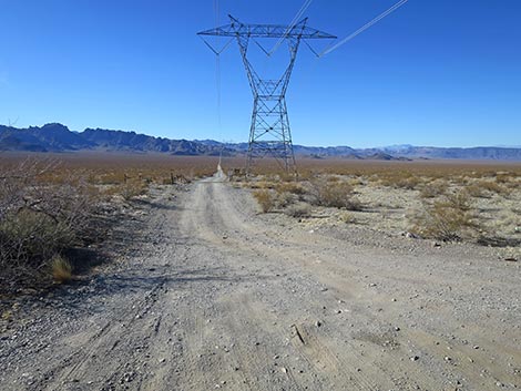
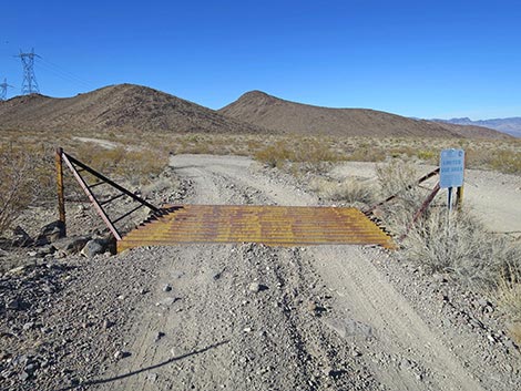
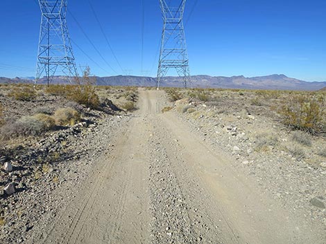
 Highland Range North Road at Cattle guard and sign (view W) |
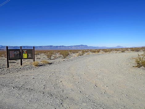
Getting to the Roadhead Highland Range North Road is located north of Searchlight, Nevada, about 40 minutes south of downtown Las Vegas. From town, drive south on Highway 95 (Interstate-11) through Henderson. After leaving the Las Vegas Valley, exit I-11 to the right staying on Highway 95 towards Searchlight. From I-11, continue south 20 miles. The highway passes the turnoff to Nelson on the left, passes the last of the solar farms on the right, passes the Avi Kwa Ame National Monument boundary sign, and arrives at high-tension powerlines crossing the highway. Exit here to the right onto Highland Range North Road (Site 1974), which is graded dirt. Watch for a stop sign at the intersection. A BLM sign by the first power tower provides limited information about the area. Alternatively, drivers can continue south to Searchlight, turn right onto Highway 164, and drive west to Wee Thump West Road, which is dirt. On the dirt, drive north 16.2 miles to the west end of Highland North Road (Site 1972). |
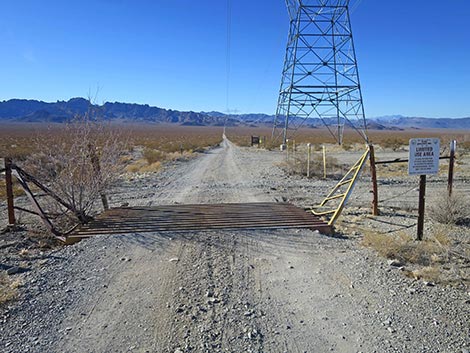
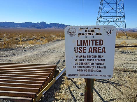 Sign: Limited Use Area -- vehicles only on designated roads |
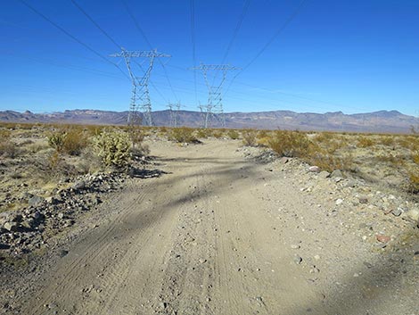
The Road From the pavement on Highway 95 (Table 1, Site 1974), Highland Range North Road crosses a cattle guard at the highway fence and quickly arrives at the first power tower. At the far side of the tower, a BLM sign provides limited information about the area. Continuing west, Highland Range North Road drops into the bottom of the valley where several broad, sandy washes cross the road. After storms, these areas can be washed out and sandy. Beyond the bottom of the valley, the road climbs gently towards the Highland Range. Here the road may still cross washout ditches, but it is no longer sandy. Approaching the base of the Highland Range, Highland Range North Road passes a T-intersection (Site 1973; 2.9 miles out) at the northern end of Highland Range East Road. This road follows powerlines along the east edge of the Highland Range all the way south to Highway 164. |
 Outside fence: gasline road (view N) |
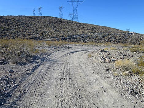
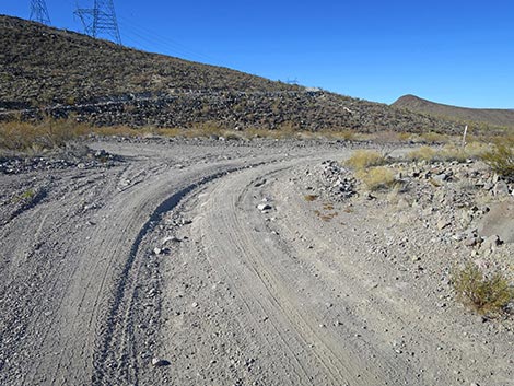
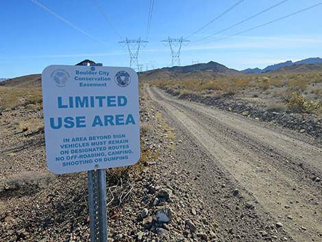
Just past the T-intersection, Highland Range North Road bends hard to the right, staying on the desert flats, and begins heading northwest. Here, and in several more places, minor roads branch off from the main road. Now heading north, Highland Range North Road passes through a fenceline where drivers can stay to the right on the main road or stay to the left and cross a cattle guard. At the cattle guard, notice a sign announcing entry into the Boulder City Conservation Area. Inside the fence, Highland Range North Road bends to the left, and begins climbing into the foothills of the Highland Range. The road climbs over a low pass and descends over the other side, eventually running due north again. Back on desert flats underneath the powerlines and now heading northwest, the road passes a small sign announcing the exit from the Boulder City Conservation Area. |
 Outside fence: gasline road (view S) |
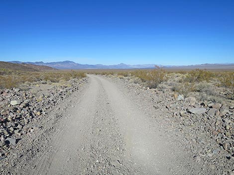
The Highland Range North Road winds around and climbs over another low ridge before again descending onto desert flats. The road winds through one deep ravine, but otherwise runs across the undulating landscape until reaching a triangular intersection (Site 1972; 6.0 miles out) with Wee Thump West Road. From here, drivers can turn south towards Wee Thump Wilderness Area and Highway 164, or they can head north trying their luck to find a way through the new power plant fences and back to Highway 95. |
 Gas pipeline infrastructure (view W) |
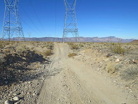
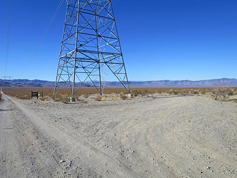 Large, U-shaped parking at first power tower (view NW) |
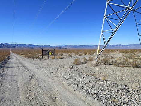 Approaching U-shaped parking exit and information kiosk (view W) |
 U-shaped parking exit and information kiosk (view N) |
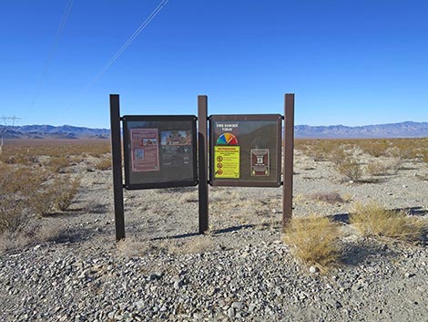 Information kiosk (view W) |
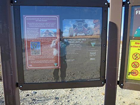 Left kiosk panel with information about the area (view W) |
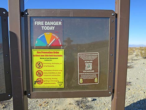 Right kiosk panel with fire danger and Recreation QR-Code (view NW) |
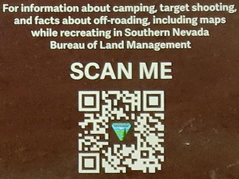 Scan for Southern Nevada District Recreation Information |
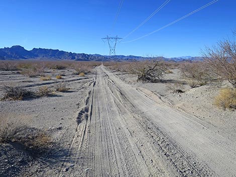
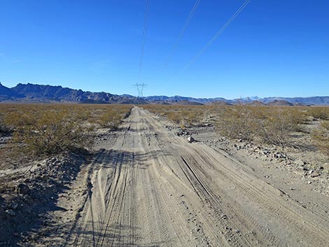
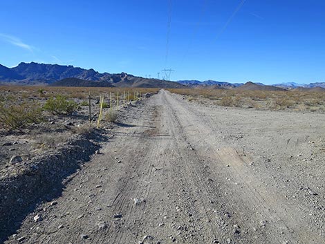
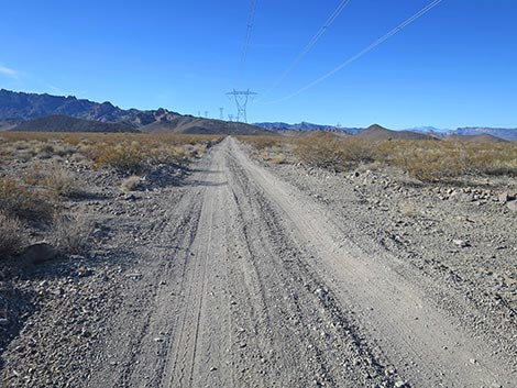
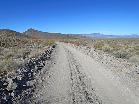
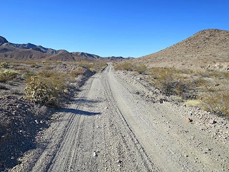
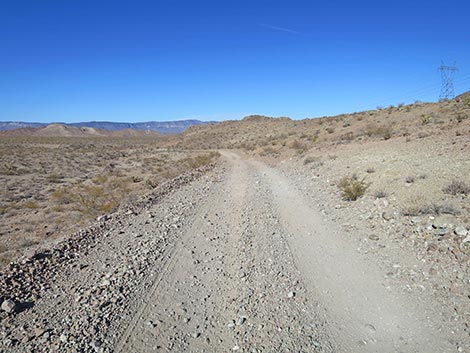
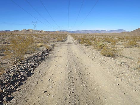
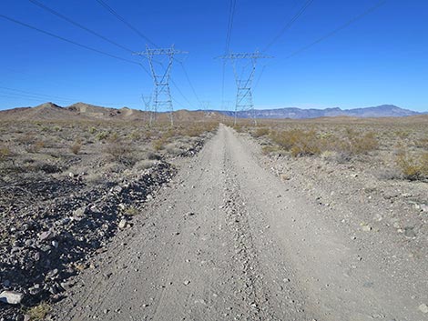
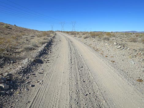
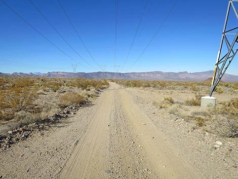
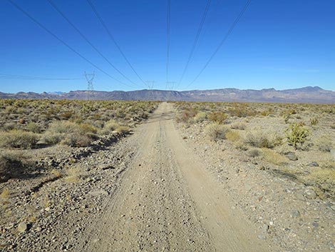
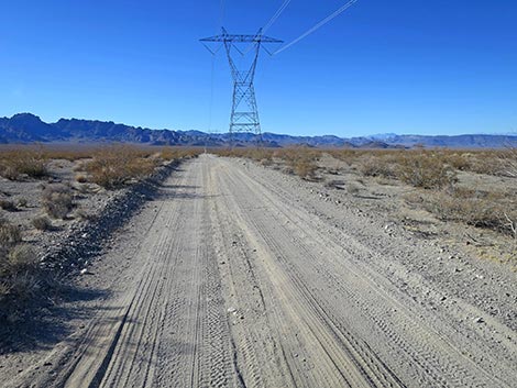 Highland Range North Road continues across Eldorado Valley (view W) |
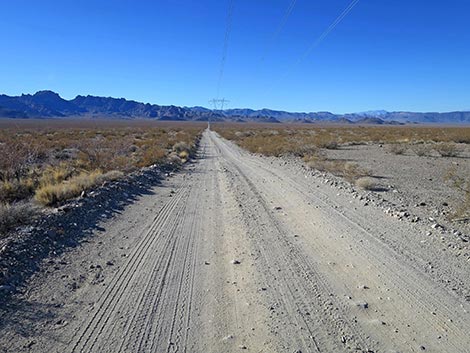 Highland Range North Road (view W) |
 Highland Range North Road crossing a sandy wash (view W) |
 Highland Range North Road crossing a sandy wash (view W) |
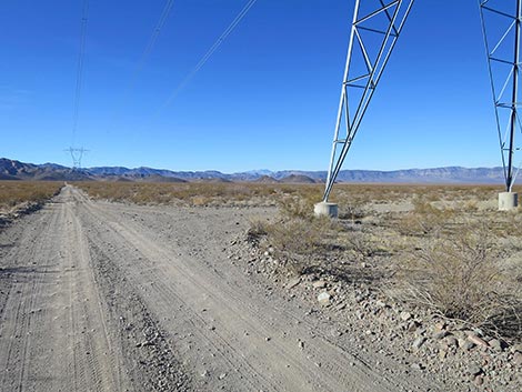
 Passing a power tower with a work pad (campsite; view W) |
 Highland Range North Rd approaching another sandy wash (view W) |
 Approaching another power tower with a campsite (view W) |
 Work pad (campsite) at base of power tower (view N) |
 Highland Range North Road crossing another sandy wash (view W) |
 Highland Range North Road at another sandy wash (view W) |
 Highland Range North Rd at a well-signed restoration area (view W) |
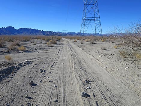
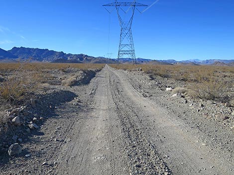
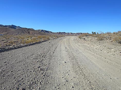
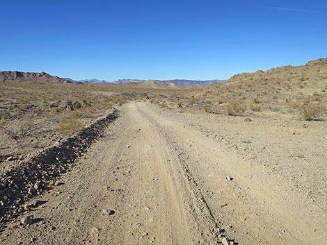
 Highland Range North Road continues (view W) |
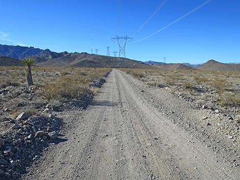 Highland Range North Road passing a Mojave Yucca (view W) |
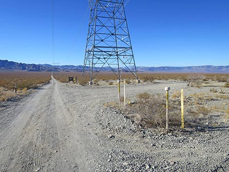
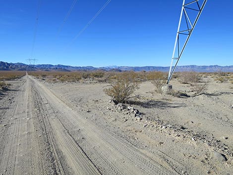
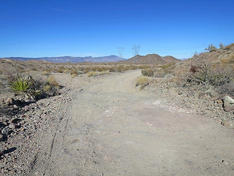
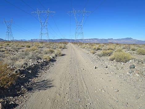
 Highland Range North Rd approaching Highland Range East Rd |
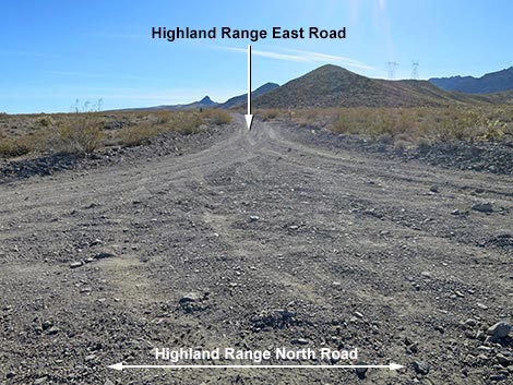 Highland Range East Rd (view S from Highland Range North Rd) |
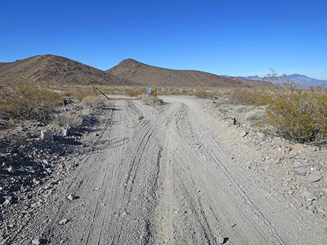
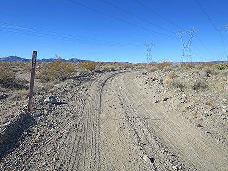
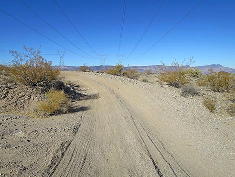
 Highland Range North Rd at curve at 4-way intersection (view W) |
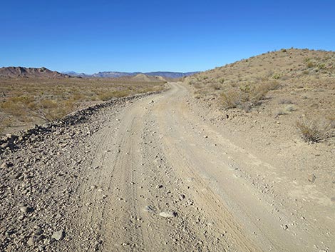
 Highland Range North Rd curves right (view W) |
 Going straight leads up hill (view W) |
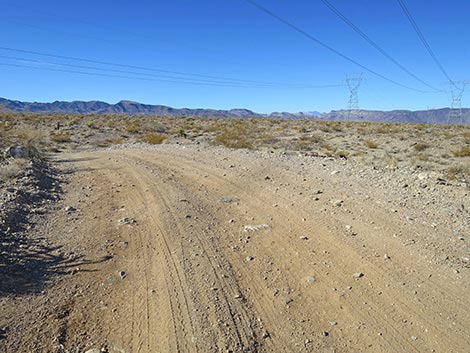
 Highland Range North Rd turns right (view N) |
 Highland Range North Rd continues north (view S) |
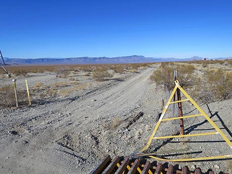
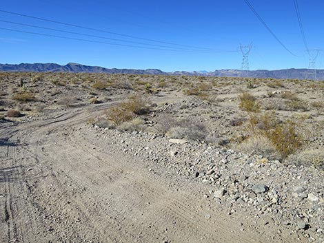
 Highland Range North Road seems to fork (view S) |
 Left fork crosses cattle guard (view N) |
 Sign: Limited Use Area -- entering Boulder City Conservation Area |
 Road bends left and begins climbing into the hills (view W) |
 Highland Range North Road (view W) |
 Highland Range North Road approaching highest point (view NW) |
 Highland Range North Road continuing over the pass (view NW) |
 Highland Range North Rd beginning down the other side (view NW) |
 Highland Range North Road continues down (view NW) |
 Highland Range North Road continues down (view NW) |
 The most rocky point (not as smooth as it looks; view N) |
 Highland Range North Road drops onto desert flats (view N) |
 Highland Range North Road returning to the powerlines (view N) |
 Highland Range North Road now stays under powerlines (view N) |
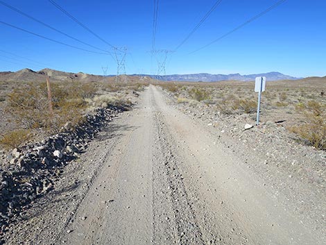 Highland Range North Road at two signs (view N) |
 Looking back at sign: exiting Boulder City Conservation Area (view S) |
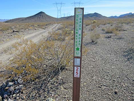 Looking back at sign: designated road #L25 (view S) |
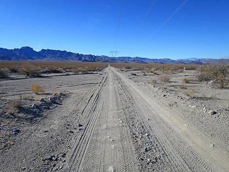
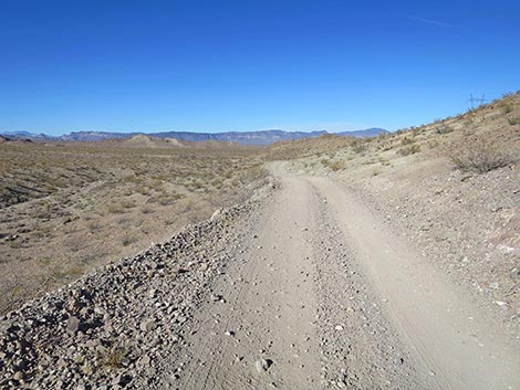
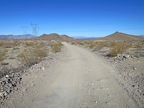
 Highland Range North Road continues across desert flats (view N) |
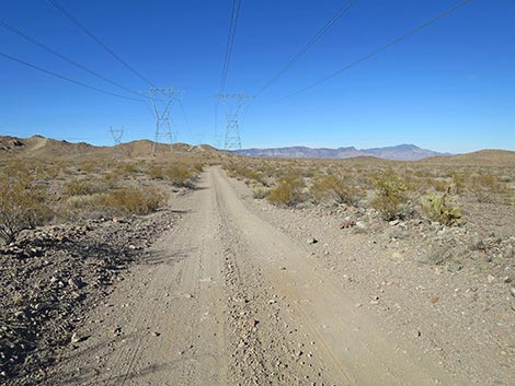 Highland Range North Road (view N) |
 Highland Range North Road (view N) |
 Highland Range North Road crossing broad valley (view N) |
 Highland Range North Road climbing to next highpoint (view N) |
 Highland Range North Road curves at next highpoint (view N) |
 Highland Range North Road continues across desert flats (view N) |
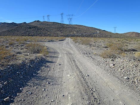
 Approaching another power tower with a campsite (view N) |
 Highland Range North Road suddenly bends hard left (view N) |
 Highland Range North Road bending left (view NW) |
 Highland Range North Road bending back right (view NW) |
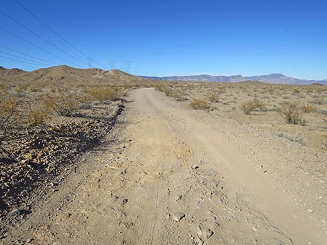
 Highland Range North Road continues across desert flats (view N) |
 Highland Range North Road approaching a big dip (view N) |
 Highland Range North Road crosses a gully (view N) |
 Highland Range North Road continues across desert flats (view N) |
 Highland Range North Road continues across desert flats (view N) |
 Highland Range North Rd approaching Wee Thump West Rd (view N) |
 Highland Range North Road at Wee Thump West Road (view NW) |
 More to come ... |
Table 1. Hiking Coordinates Based on GPS Data (NAD27, UTM Zone 11S). Download GPS Waypoints (*.gpx) file.
| Wpt. | Location | Latitude (N) | Longitude (W) | Elevation (ft) | Point-to-Point Distance (mi) | Cumulative Distance (mi) |
|---|---|---|---|---|---|---|
| 1974 | Highland N Rd at Highway 95 | 35.66930 | 114.95876 | 2,685 | 0.00 | 0.00 |
| 1973 | Highland N Rd at Highland E Rd | 35.67418 | 115.01011 | 2,658 | 2.94 | 3.80 |
| 1972 | Wee Thump W Rd at Highland N Rd | 35.71510 | 115.04622 | 2,517 | 3.80 | 6.74 |
Happy Hiking! All distances, elevations, and other facts are approximate.
![]() ; Last updated 250207
; Last updated 250207
| Avi Kwa Ame | Backroads Around Las Vegas | Glossary | Copyright, Conditions, Disclaimer | Home |