Hiking Around Las Vegas, Desert National Wildlife Refuge

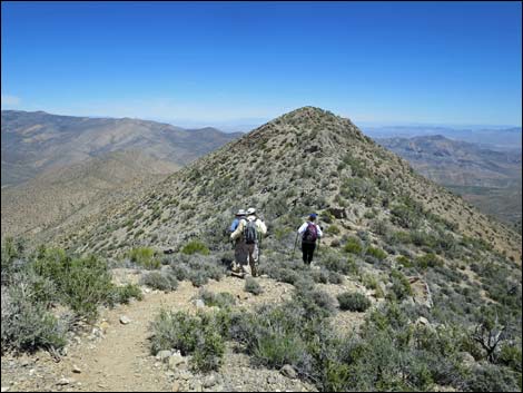
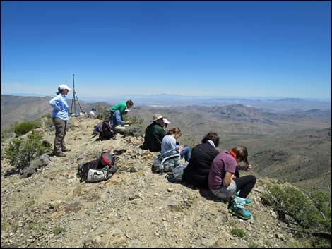 Hikers on the summit. Descend just past the tripod tower (view NE) |
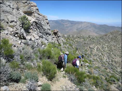
Note: May 2018. The alternative descent route reportedly has a lot of loose gravel that gives way under foot. Overview Gass Peak is the highest summit in the Las Vegas Range, the long ridge that forms the north edge of the Las Vegas Valley. This hike is 6.5 miles round-trip and fairly stout. The route follows a series of side-ridges on the northeast side of the mountain to the summit ridge, and then follows the summit ridge to the peak. Views from the summit provide a striking contrast: to the north lies a vast and glorious wilderness, and to the south lies a vast urban area. Presented here are photos of the descent. A full description of the route and summit views are presented elsewhere. |
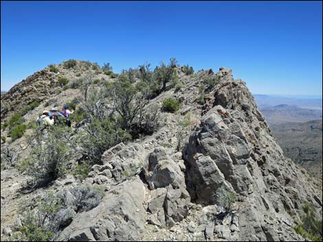
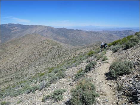
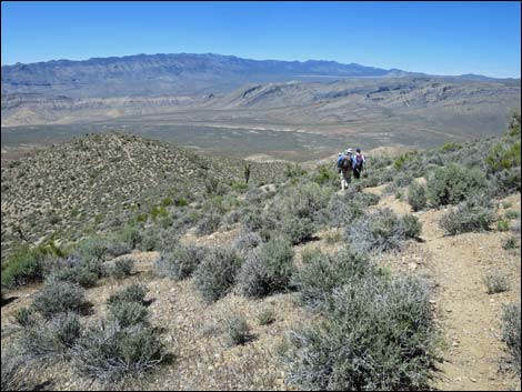
 Just past the tripod tower, hikers begin descent (view NE) |
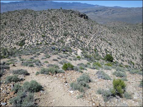
 Hikers just east of the solar panels (view E) |
 |
 |
 |
 |
 |
 |
 |
 |
 |
 |
 |
 |
 |
 |
 |
 |
 |
 |
 |
 |
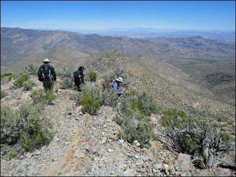
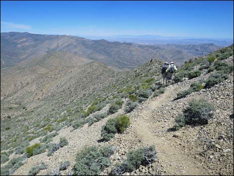
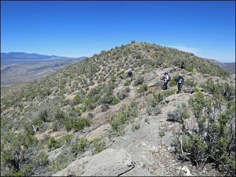
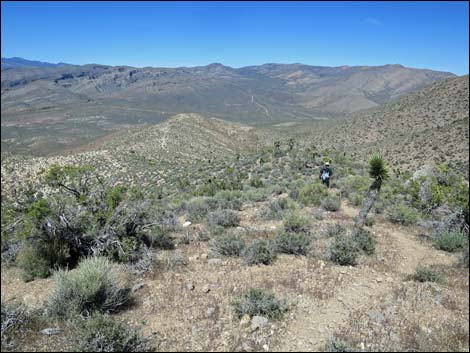
 Descending the ridgeline (view NE) |
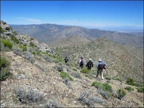
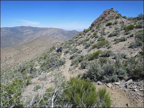
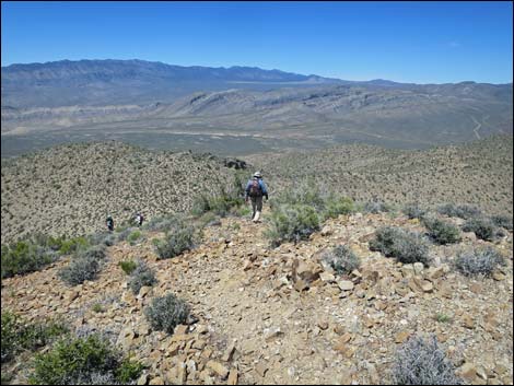
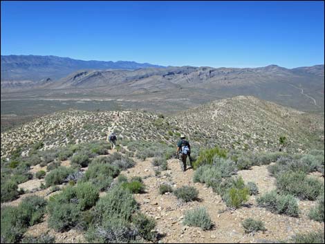
 Hikers turning down the alternate return route (view NE) |
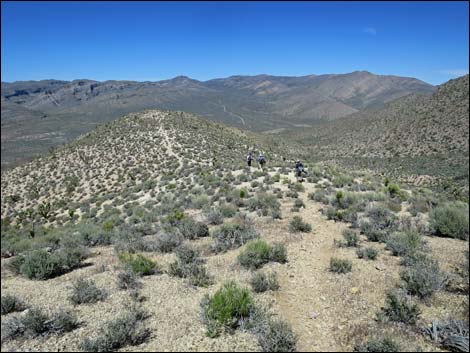
 Hikers starting down the very steep old road (view N) |
 Hikers on very steep old road (view N) |
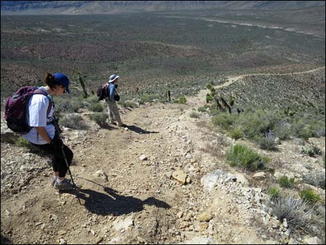
 A respite from the steep (view N) |
 Top of the next steep section (view N) |
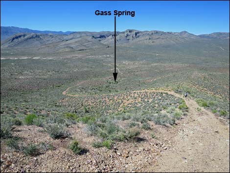 Second steep descent (view N towards Gass Spring) |
 Passing Gass Spring (view N) |
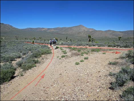
 Old road winds across a wash (view NE) |
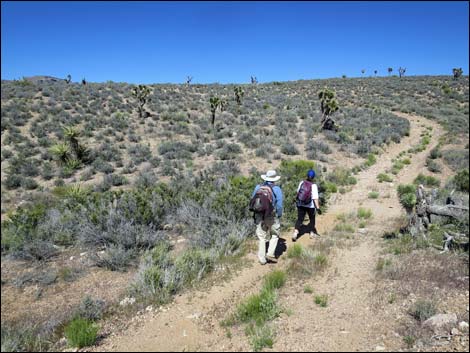
 Hikers returning past the fork in the road (view NE) |
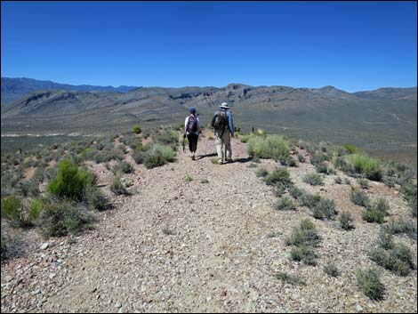
 Heading across flat country (view NE) |
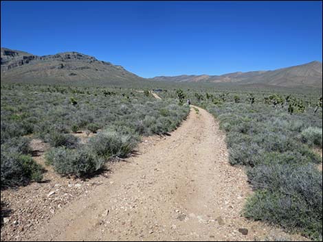 Continuing across flat country (view NE) |
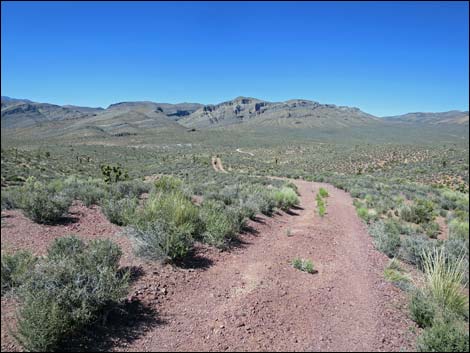
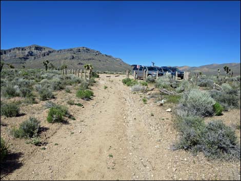 Approaching the trailhead (view NE) |
 Hikers arriving at the trailhead (view NE) |
Happy Hiking! All distances, elevations, and other facts are approximate.
![]() ; Last updated 240324
; Last updated 240324
| Hiking Around DNWR | Hiking Around Las Vegas | Glossary | Copyright, Conditions, Disclaimer | Home |