Hiking Around Las Vegas, Lake Mead National Recreation Area
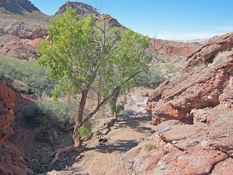
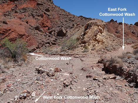 Confluence of East and West forks of Cottonwood Wash (view N) |
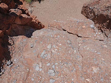
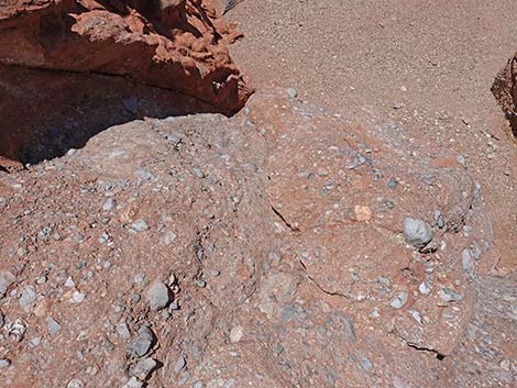
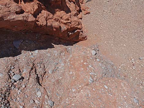
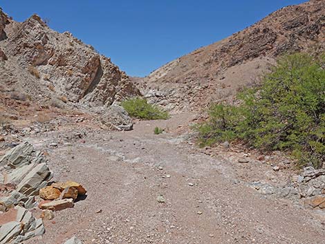
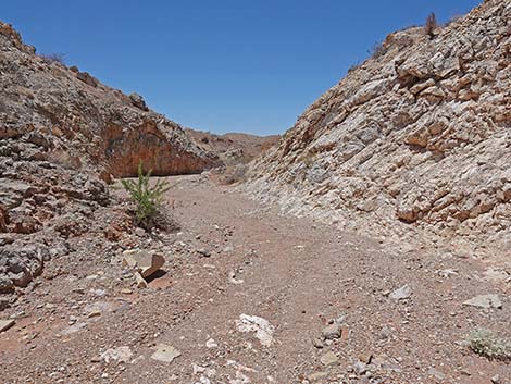
Overview Cottonwood Wash runs through a beautiful, geologically jumbled Pinto Valley Wilderness Area for about 1 mile to Cottonwood Spring, then continues another 1 mile to the Confluence of the East and West Forks of Cottonwood Wash. The route runs through volcanic mountains, red sandstone crags, layered limestone mountains, and conglomerate cliffs where blue-gray limestone cobbles are set in a matrix of red sandstone, plus mudstones and siltstones that record ancient lake beds with myriad Cenozoic fossils and ripple marks. Presented here are photos of the descent down Cottonwood Wash and the return to the Mile 18.2 Trailhead. For details of the hike and GPS data, see Cottonwood Wash - Upstream. Link to map. |
Upper Cottonwood Wash (above the spring; heading downstream)
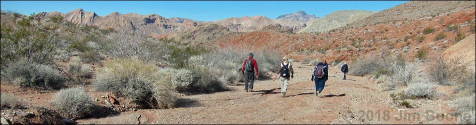
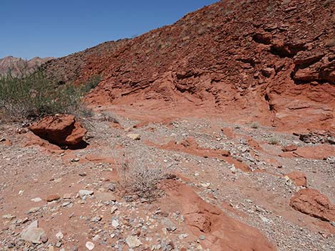
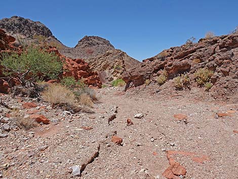
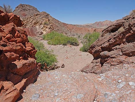
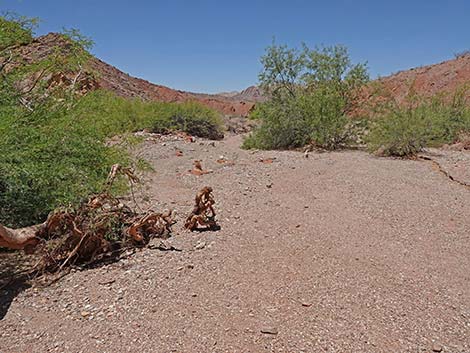
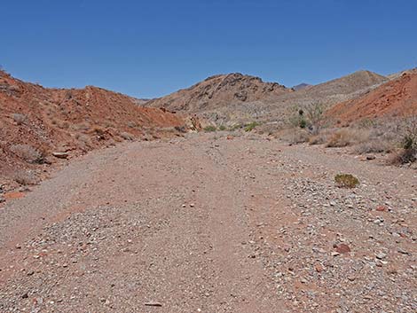
 Descending from confluence of East and West forks (view N) |
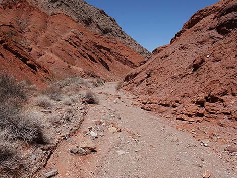
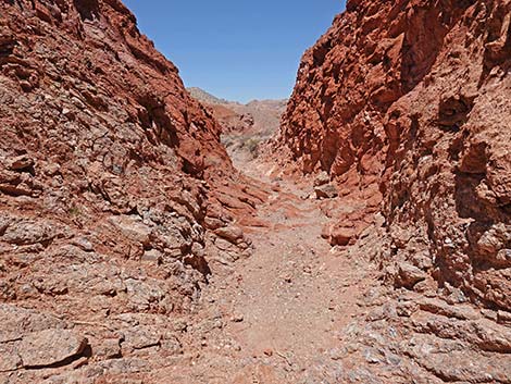
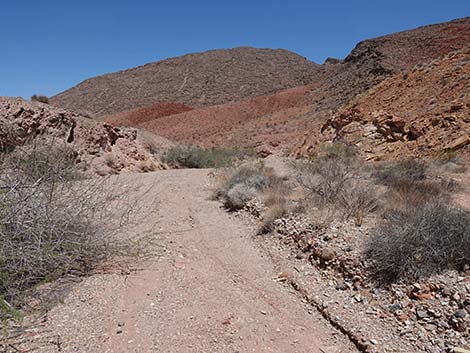
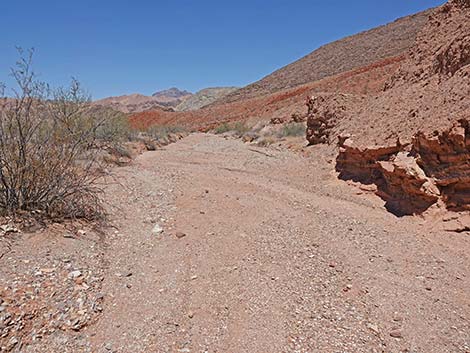
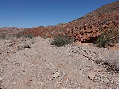
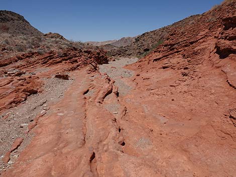
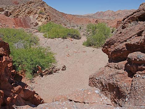
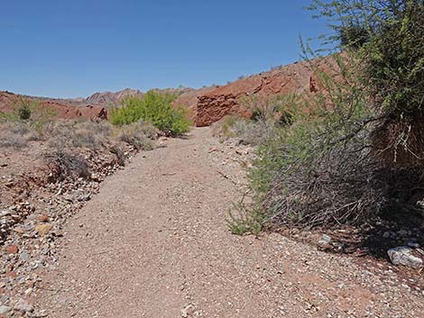
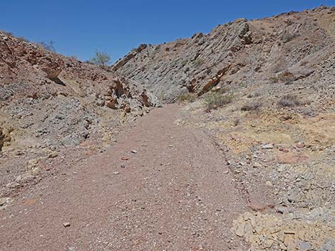
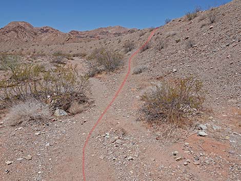
 Descending Cottonwood Wash (view N) |
 |
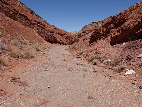 |
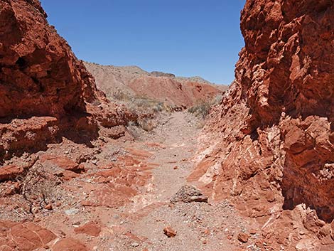
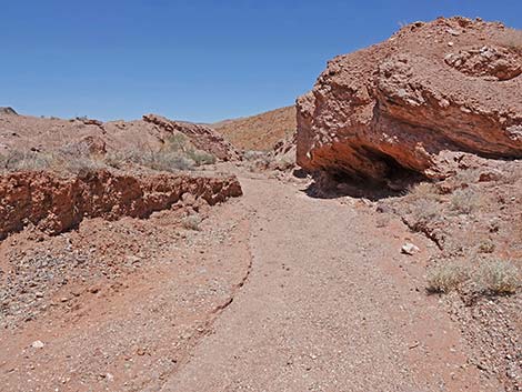
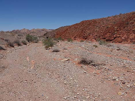
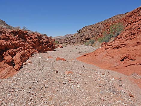
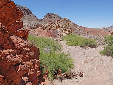
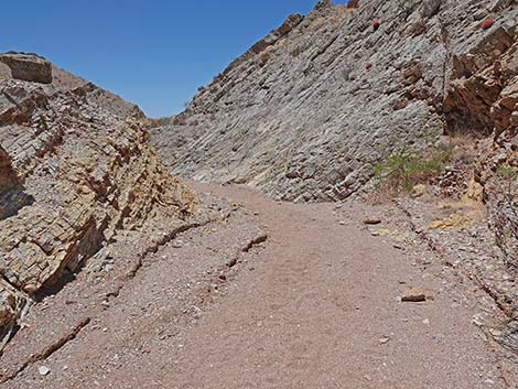
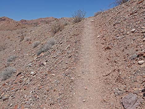
 Descending Cottonwood Wash (view N) |
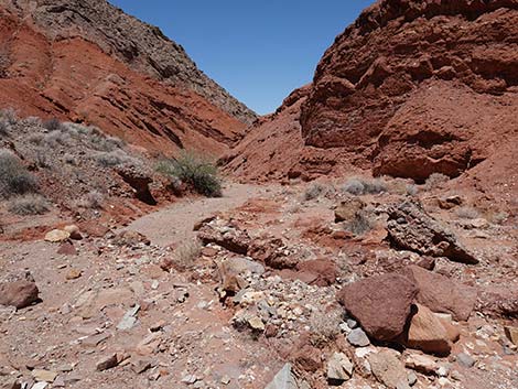
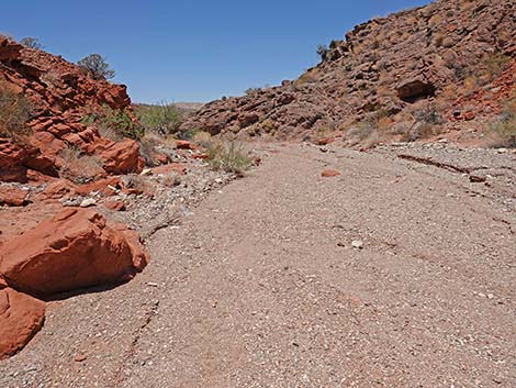
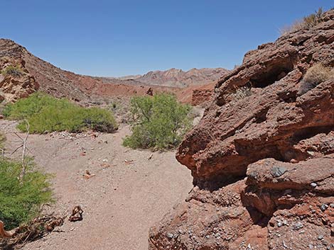
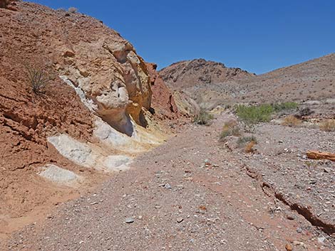
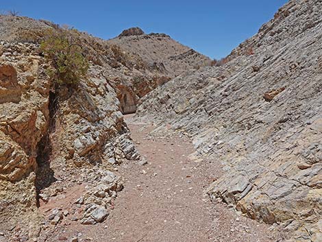
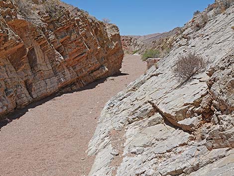
 Approaching the Upper Narrows (view N) |
 Descending the Upper Narrows (view N) |
 Exiting the Upper Narrows (view N) |
 |
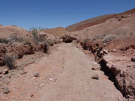 |
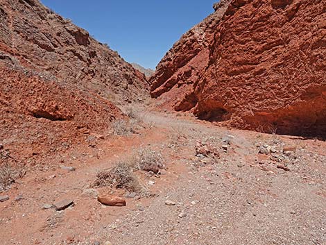
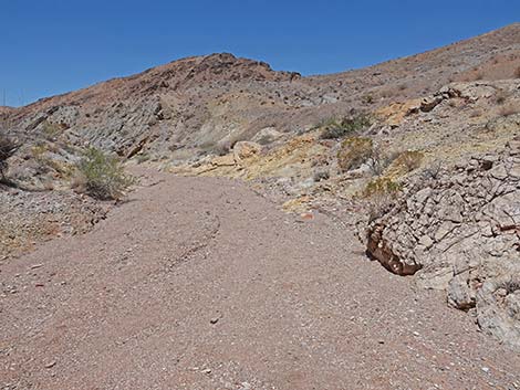
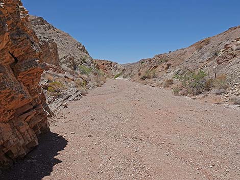
 Descending Cottonwood Wash (view N) |
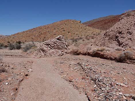 Approaching Razorback Wash North (view N) |
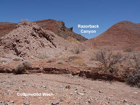 Looking into Razorback Canyon (view NE) |
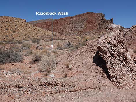 Looking into Razorback Wash North (view N) |
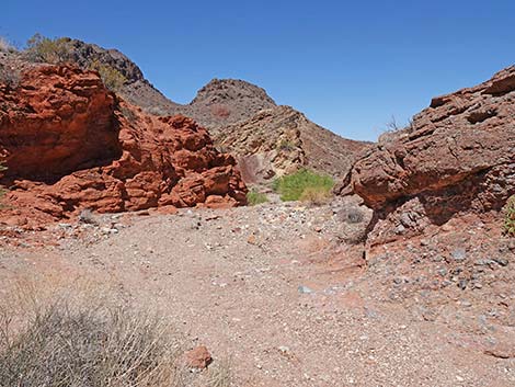
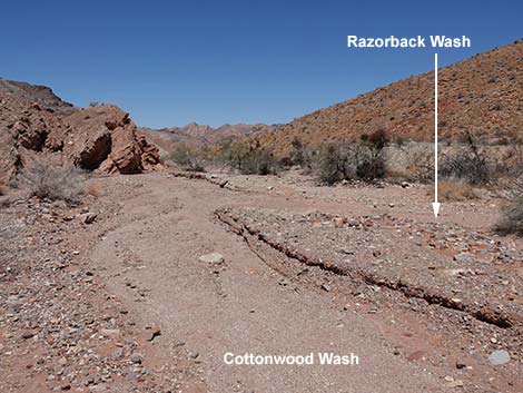 Confluence of Cottonwood Wash and Razorback Wash North (view N) |
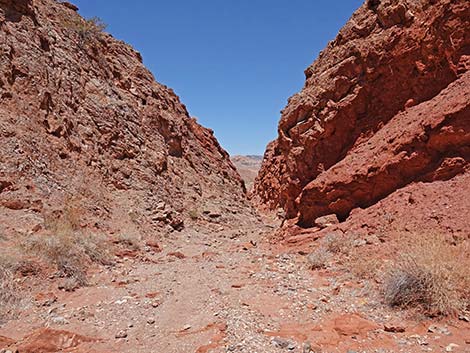
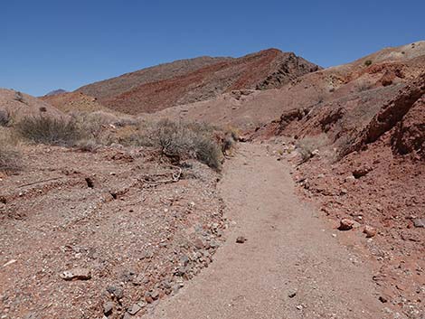
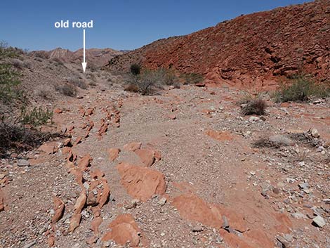
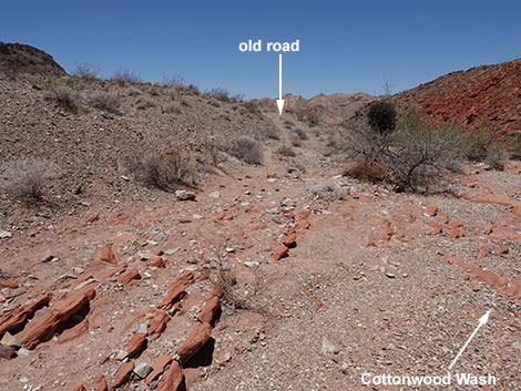
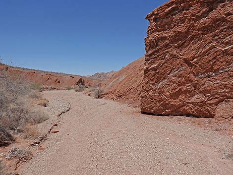
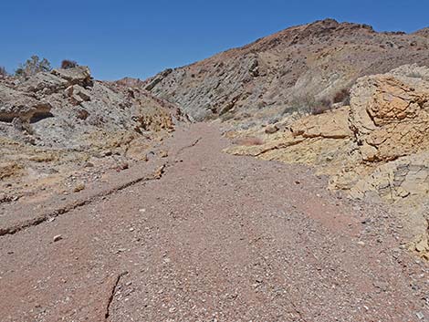
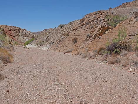
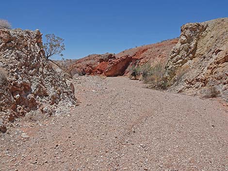
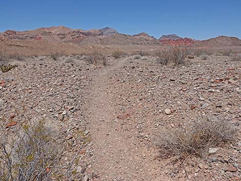
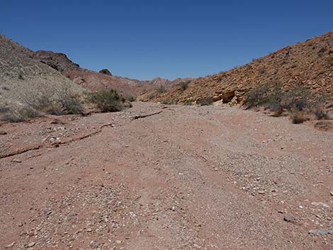 Descending Cottonwood Wash (view N) |
 |
 |
 |
 |
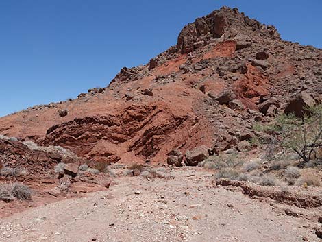
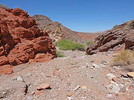
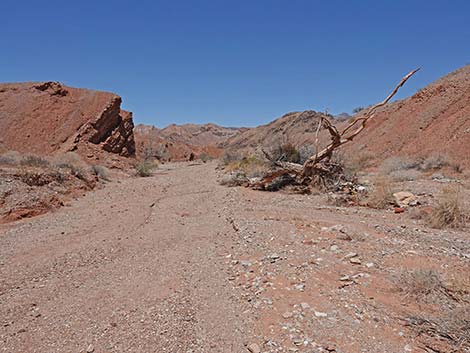
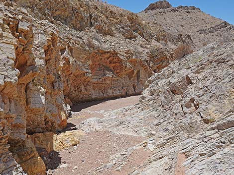
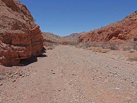
 Approaching the Red Layers (view N) |
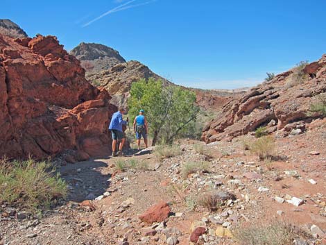
 Alternative to bypass the pour-over (view N) |
 Descending into the Red Layers (view N) |
 Crossing the Red Layers (view N) |
 |
 |
 Approaching Cottonwood Spring pour-over (view NW) |
 Approaching Cottonwood Spring pour-over (view NW) |
 Historical photo: Hikers atop pour-over with Cottonwood Trees |
 Approaching Cottonwood Spring pour-over (view NW) |
 Atop the pour-over (view NW) |
 Edge of the pour-over (view NW) |
 Grand scenery (view NW; looking left from atop the pour-over) |
 Grand scenery (view N; looking right from atop the pour-over) |
 Historical photo of Cottonwood Spring from above (view NW) |
 Atop the pour-over, looking down (view NW) |
 Atop the pour-over, halfway down (view NW) |
 Atop the pour-over; the last 5 feet are the hardest part (view NW) |
Lower Cottonwood Wash (below the spring; heading downstream)
 Bottom of the pour-over; dead cottonwoods at left (view NW) |
 Departing the Cottonwood Spring area (view NW) |
 Red mudstone full of gypsum layers (view NW) |
 One of the dead cottonwoods wash down the wash (view NW) |
 |
 |
 |
 |
 Approaching Halfway Narrows (view NW) |
 Entering Halfway Narrows (view NW) |
 Descending Halfway Narrows (view NW) |
 Descending Halfway Narrows (view NW) |
 Descending Halfway Narrows (view NW) |
 Exiting Halfway Narrows (view NW) |
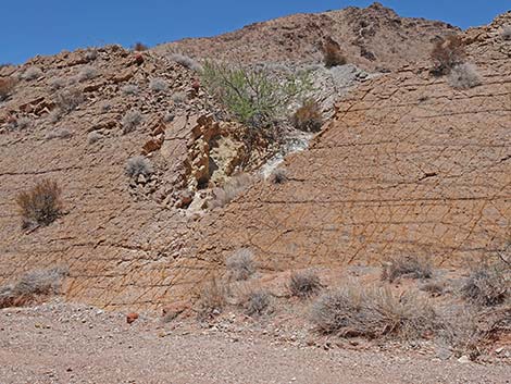
 Approaching the yellow-brown, fossil-filled wall (view NW) |
 Approaching ripple marks (view NW) |
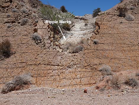 Yellow-brown wall with ripple marks (view E) |
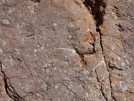 Oyster and snail fossils in the yellow-brown wall (view NE) |
 |
 |
 |
 |
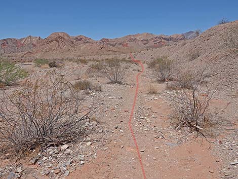
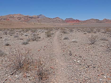
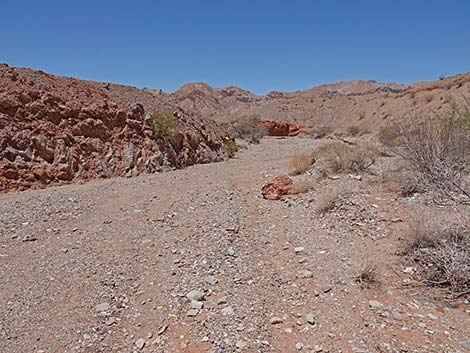 Continuing down Cottonwood Wash (view NW) |
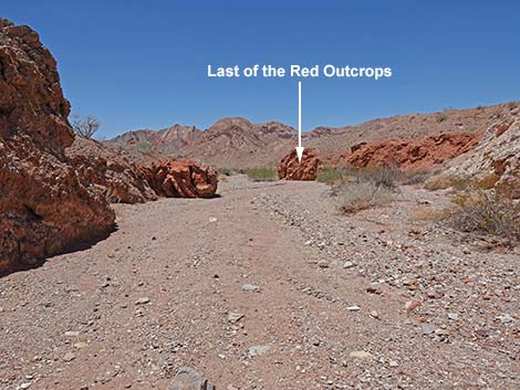 The last of the red outcrops comes into view (view NW) |
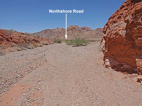 Northshore Road comes into view (view NW) |
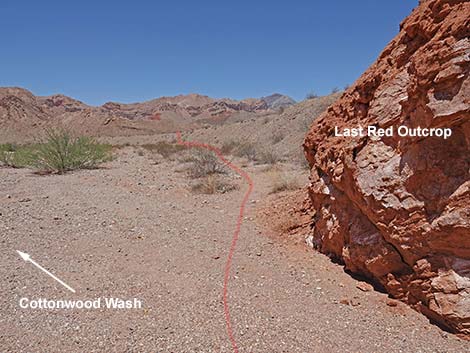 Past the last red outcrop, the trail leaves the wash bottom (view N) |
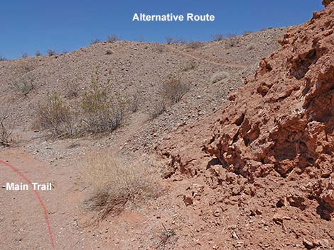 The Main trail runs down along the base of the bluff (view N) |
 The Main trail runs down along the base of the bluff (view N) |
 Leaving the wash bottom and climbing the bluff (view N) |
 Climbing the bluff (view N) |
 Arriving at the top of the bluff (view N) |
 The trail runs across desert pavement (view N) |
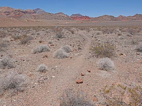 Expansive desert pavement (view N approaching trailhead) |
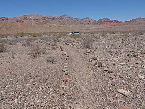 Approaching the trailhead (view N) |
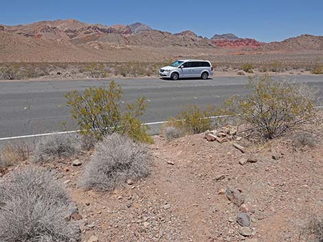 Returning to Mile 18.2 Trailhead; watch for speeding vehicles (view N) |
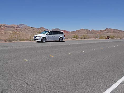 Arriving at Mile 18.2 Trailhead; watch for speeding vehicles (view N) |
Happy Hiking! All distances, elevations, and other facts are approximate.
![]() ; Last updated 240326
; Last updated 240326
| Hiking Around Lake Mead | Hiking Around Las Vegas | Glossary | Copyright, Conditions, Disclaimer | Home |