Hiking Around Las Vegas, Red Rock Canyon National Conservation Area
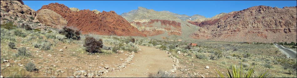
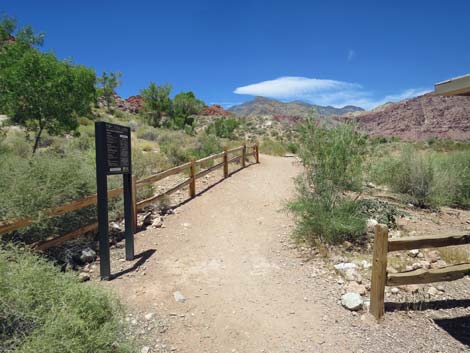
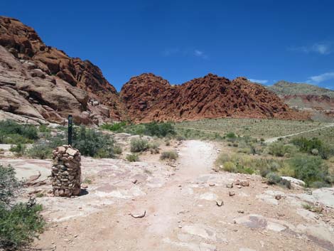
 Calico Basin Trailhead (view N from Red Spring parking area) |
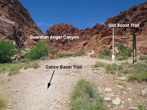
Overview Calico Basin Trail (northbound) is a fairly easy 0.6-mile trail that runs from Red Spring Trailhead to the base of Guardian Angel Canyon. As such, it is merely a trail segment rather than a trail, proper, leading to some interesting destination. Calico Basin Trail is part of the Calico Hills Loop Trail, and it connects with the Girl Scout Trail, which continues north from the base of Guardian Angel Canyon to Kraft Mountain Trailhead. All of that said, it does traverse beautiful country and makes for a nice 1-1/4 mile out-and-back. For hikers using this trail southbound, see Calico Basin Trail (southbound). Calico Basin Trail serves well as a connector trail, but as a stand-alone trail, it is beautiful but not very interesting. However, it is an attempt by the BLM to define one trail through this busy area and reduce the number of use-trails that are proliferating throughout the Calico Basin area. Hopefully people will stay on the trail and the trampled landscape will recover. Link to trail map. |
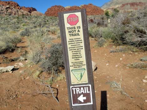
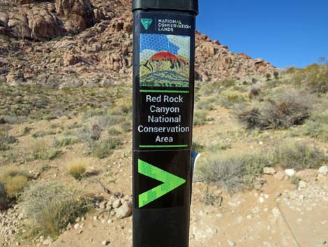
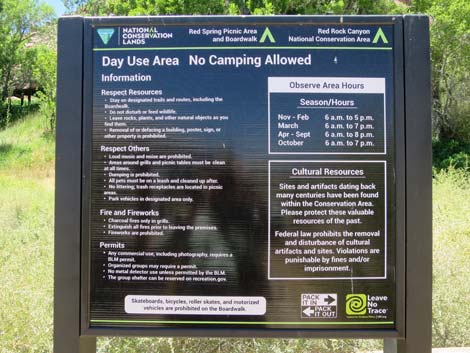
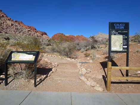 Calico Basin Trailhead signs (view N from Red Spring parking area) |
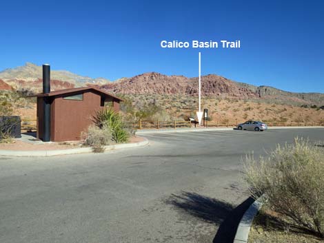
Watch Out Other than the standard warnings about hiking in the desert, ... this hike is fairly safe and not far from a road or trailhead. There are some rocky areas, so be extra careful when high enough to fall and get hurt, and watch for slippery rocks when crossing Calico Creek. While hiking, please respect the land and the other people out there, and please try to Leave No Trace of your passage. Even though this hike is short, be sure to bring what you need of the 10 Essentials. Getting to the Trailhead This hike is located in Red Rock Canyon National Conservation Area, about 25 minutes from town, but not inside the Scenic Loop Road fee area. Drive out West Charleston Blvd, turn right onto Calico Basin Road, and then drive 1.1 miles to the Red Spring Trailhead on the left. Park here; this is the trailhead. |
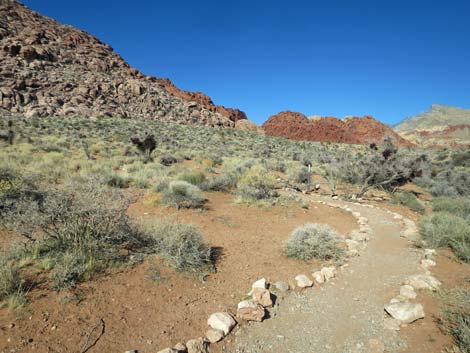
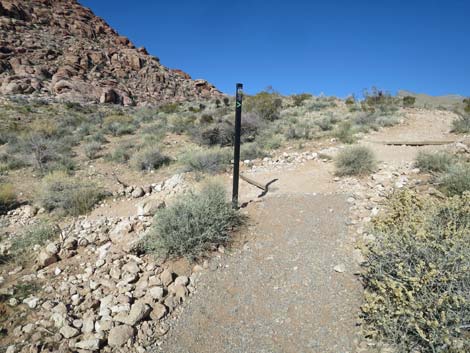
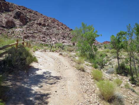
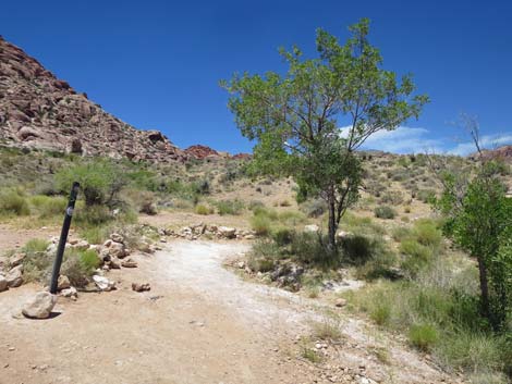
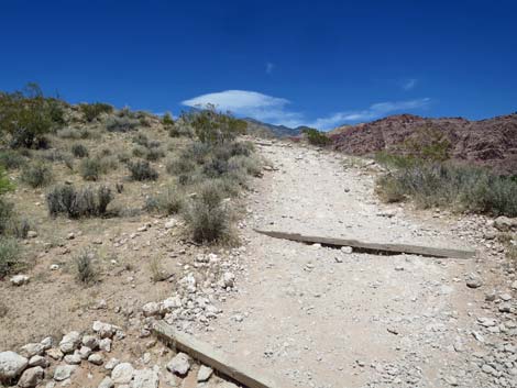
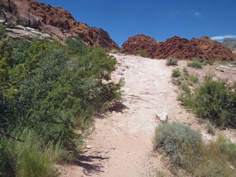
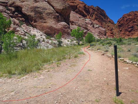
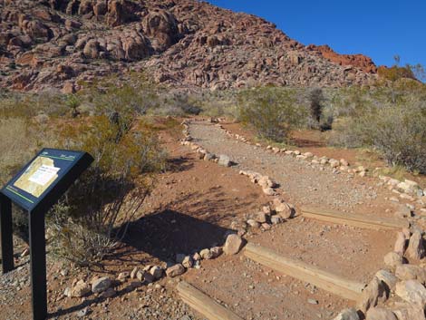 Start of Calico Basin Trail (view NW) |
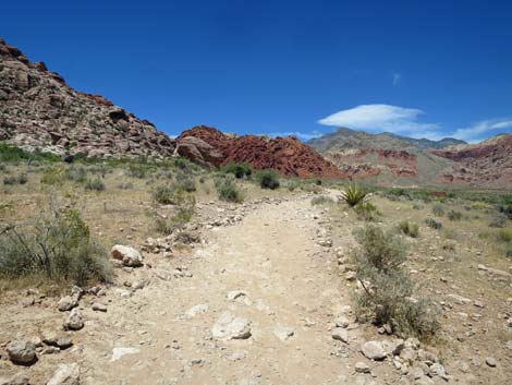
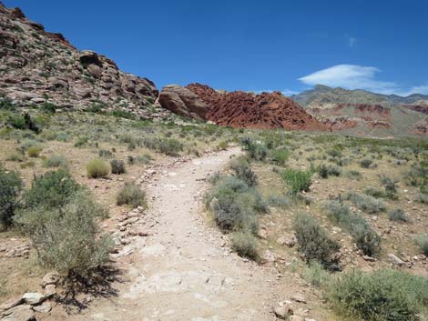
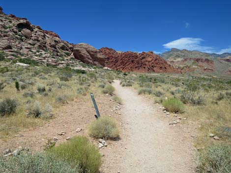
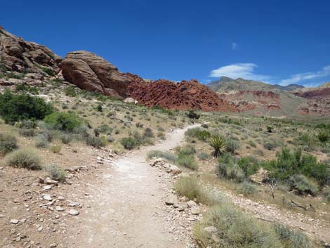
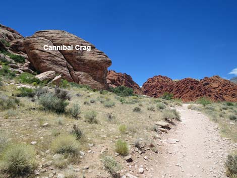
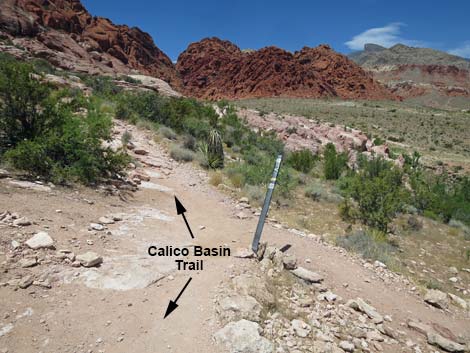
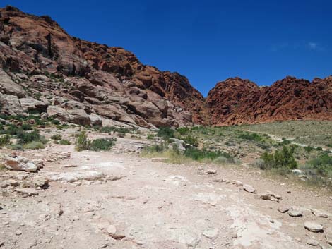
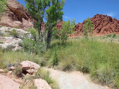
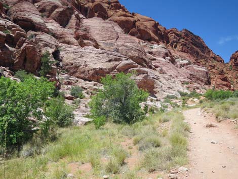
The Hike From the Red Spring parking lot, there are two trailheads for the Calico Basin Trail. The main trailhead is on the northwest edge of the parking lot, proper, marked with a standard trailhead sign. The other trailhead is located in the picnic area, but it does not have a standard trailhead sign. From the main trailhead (Table 1, Waypoint 01) on the northwest side of the parking lot, the trail switchbacks up the hillside. At about 150 yards out, Calico Basin Trail reaches a junction (Wpt. 02) with the trail that comes up from the alternate trailhead and merges from the left. Continuing up the hill, the trail quickly reaches a flat area, and from then on, the hiking is easier, and the views are grander. More trails merge from the left and right, but the Calico Basin Trail continues northwest staying under the cliffs. By about 0.28 miles out, the trail passes below Cannibal Crag (Wpt. 03), a popular rock-climbing site. Approaching Cannibal Crag, notice the petroglyphs on the lower-right edge of the east face. |
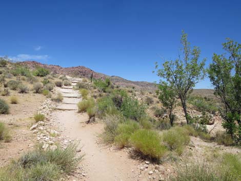
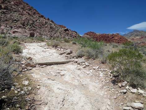
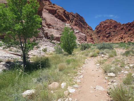
 The trail bends to the left (view NW) |
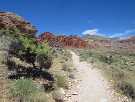
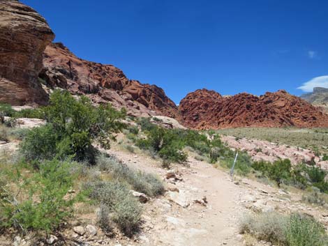
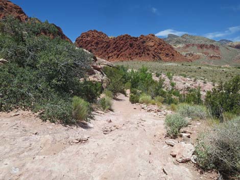
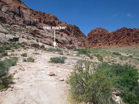
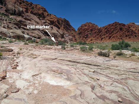
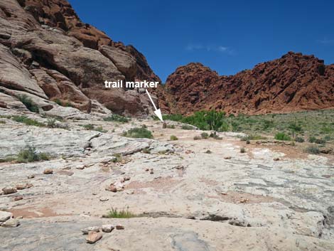
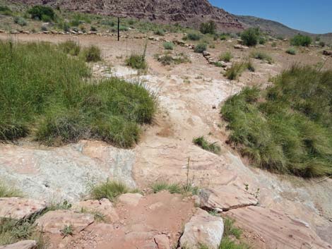
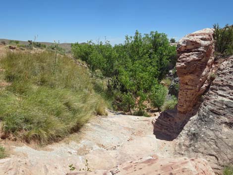
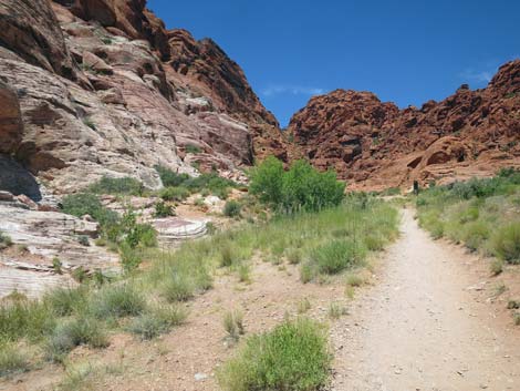
Continuing below Cannibal Crag, the trail runs down along the edge of low sandstone cliffs until passing the end of the cliffs and climbing out onto a flat, open sandstone area. The trail runs west-northwest across the slickrock (where small stones sometimes mark the border of the trail) and across dirt trail. Several trail markers guide the way. After about 200 yards on the slickrock (0.48 miles out), the trail turns right by a stone trail marker and drops off the edge of the sandstone to cross Guardian Angel Creek (Wpt. 04). When water is flowing, there are nice pools just downstream from the crossing. The trees along the creek are Velvet Ash, and Red Spotted Toads breed in the pools. |
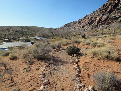
 Please stay on the trail and let the trampled landscape recover |
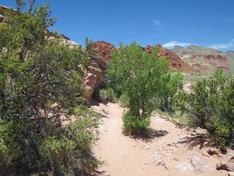
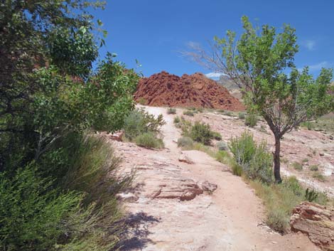
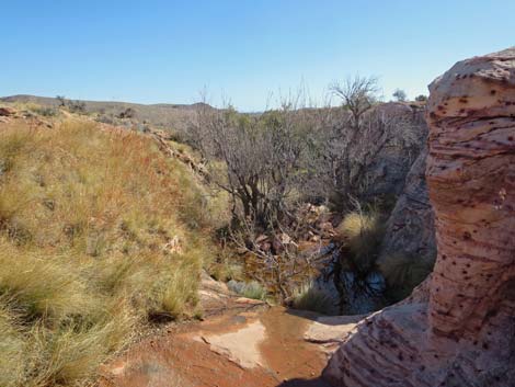
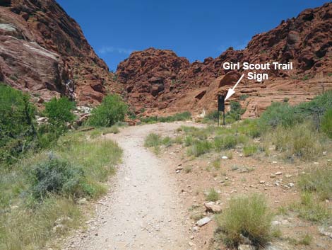
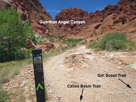
Across the creek, the trail turns left and runs up along the north side of the creek. The walking remains fairly easy, and the trail is mostly rock-free dirt. There are some nice Velvet Ash along the creek here. The trail eventually reaches the base of Guardian Angel Canyon (Wpt. 05), which is marked on the right with a Girl Scout Trail sign. The Calico Basin Trail ends here, but hikers can continue north on the Girl Scout Trail, turn back on the Calico Basin Trail, or be more adventuresome and climb up through the boulders into Guardian Angel Canyon. For hikers returning over Calico Basin Trail, see Calico Basin Trail -- Southbound. |
 The trail bends to the right (view NW) |
 The trail bends to the left (view NW) |
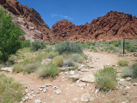
 Junction with trail from the picnic tables (view NW |
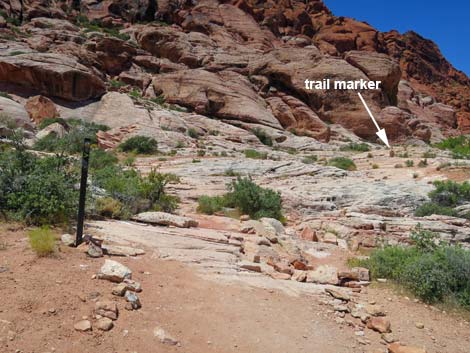
 Typical trail marker (view W) |
Alternate Start from the Picnic Area
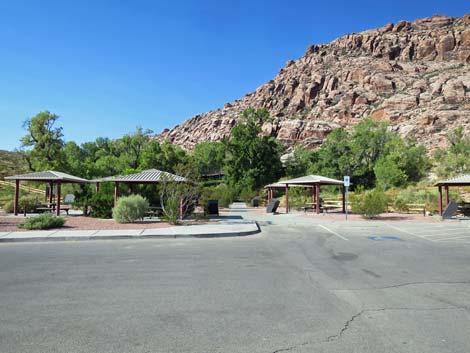 Red Spring picnic area (view SW) |
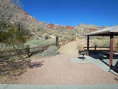 Inside picnic area, the alternative trail runs along fence (view NW) |
 Alternative Calico Basin Trail runs along fence (view NW) |
 Sign at the trailhead presents picnic area regulations (view W) |
 Alternative Calico Basin Trail continues along fence (view NW) |
 Another sign, this one mounted on a fence post (view S) |
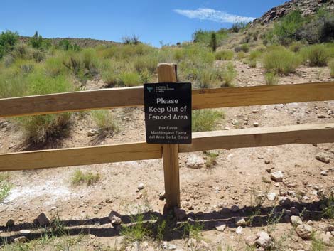
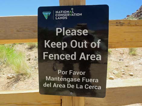 Sign: stay out of fenced area (view S) |
 The trail bends away from the fence and under ash tree (view NW) |
 Trail climbs stairs towards trail marker (view N) |
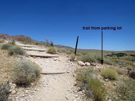 At trail marker, trail merges with trail from main trailhead (view NE) |
Two Forks Merge and Continue Together
 Approaching the top of the hill (view N) |
 Last of the uphill trail (view N) |
 Big, open flats with big views (view N) |
 Big, open flats with big views (view N) |
 Big, open flats with big views (view N) |
 Trail passes a sad trail marker (view NW) |
 A minor trail merges from the right (view NW) |
 Big, open flats with Catclaw Acacia full of Mistletoe (view N) |
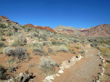
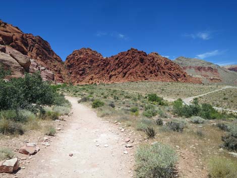
 Calico Basin Trail approaching Cannibal Crag (view NW) |
 Calico Basin Trail approaching another trail junction (view NW) |
 Calico Basin Trail at another trail junction (view NW) |
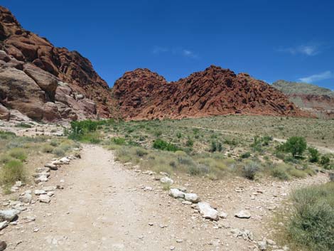
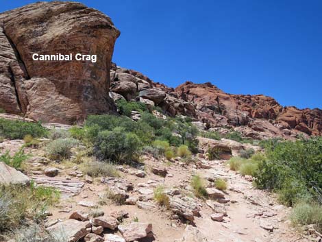 Calico Basin Trail at Cannibal Crag (view NW) |
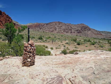
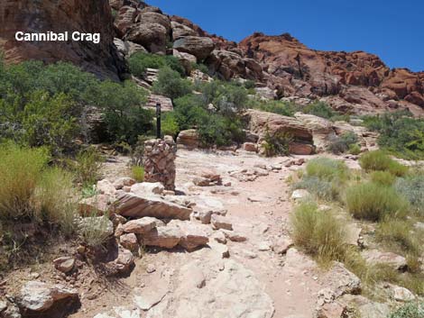 A sturdy trail marker off the toe of Cannibal Crag (view NW) |
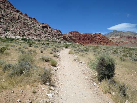
 Calico Basin Trail dips to pass below Cannibal Crag (view NW) |
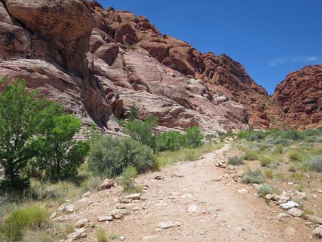
 Calico Basin Trail passes along the base of a low cliff (view NW) |
 Calico Basin Trail passes under a Velvet Ash tree (view NW) |
 Past Cannibal Crag, the trail climbs out of the dip (view NW) |
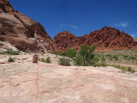
 Trail begins to run across sandstone slickrock (view NW) |
 On sandstone slickrock, watch for trail markers (view NW) |
 On the slickrock, the trail is edged with stones (view NW) |
 A second sturdy trail marker (view NW) |
 Don't be that guy -- there is no poop fairy |
 Big, open flats with Shrub Live Oak (view N) |
 Several old trails fork off to different destinations (view NW) |
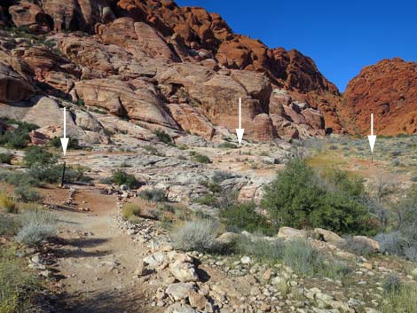 Approaching slickrock, more trail markers (white arrows) ahead |
 Calico Basin Trail returns to the slickrock (view NW) |
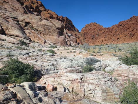 Calico Basin Trail continues across slickrock (view NW) |
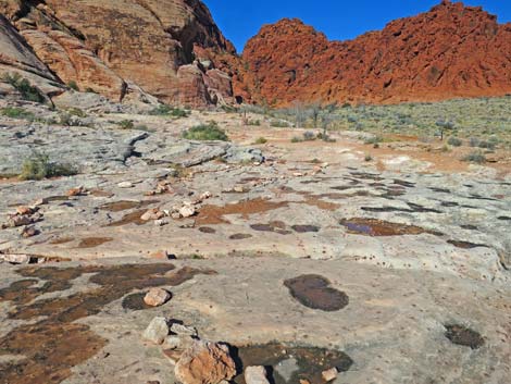 It rained on the slickrock last night (view NW) |
 Calico Basin Trail continues across the slickrock (view NW) |
 The trail turns right at the third sturdy trail marker (view NW) |
 From the third sturdy trail marker, trail crosses creek (view N) |
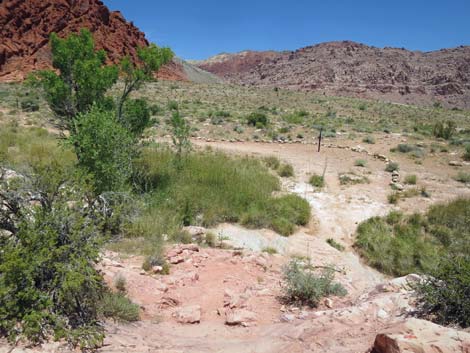 Calico Basin Trail descends stone stairs to cross the creek (view NW) |
 Calico Basin Trail dipping to cross the creek (view NW) |
 View upstream from wash crossing during summer (view W) |
 View downstream from wash crossing during summer (view E) |
 View downstream from wash crossing during winter (view E) |
 Across the creek, the trail turns left (view N) |
 Calico Basin Trail passes ash trees along the creek (view NW) |
 Calico Basin Trail approaching another trail marker (view NW) |
 Calico Basin Trail continues along the creek (view NW) |
 Calico Basin Trail passes more ash trees along the creek (view NW) |
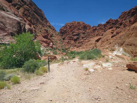
 Calico Basin Trail approaching Guardian Angel Canyon (view NW) |
 Calico Basin Trail approaching Girl Scout Trail sign (view NW) |
 Calico Basin Trail at Girl Scout Trail sign (view NW) |
 Approaching last trail marker below Guardian Angel Canyon (view NW) |
 Trail continues into the rocks of Guardian Angel Canyon (view NW) |
Table 1. Hiking Coordinates Based on GPS Data (NAD27; UTM Zone 11S). Download Hiking GPS Waypoints (*.gpx) file.
| Wpt. | Location | UTM Easting | UTM Northing | Elevation (ft) | Point-to-Point Distance (mi) | Cumulative Distance (mi) |
|---|---|---|---|---|---|---|
| 01 | Trailhead | 642321 | 4001238 | 3,528 | 0.00 | 0.00 |
| 02 | Trail Junction | 642233 | 4001225 | 3,558 | 0.07 | 0.07 |
| 03 | Toe of Cannibal Crag | 641986 | 4001441 | 3,605 | 0.22 | 0.29 |
| 04 | Guardian Angel Creek | 641739 | 4001573 | 3,589 | 0.20 | 0.49 |
| 05 | Guardian Angel Canyon | 641577 | 4001669 | 3,607 | 0.13 | 0.62 |
| 01 | Trailhead | 642321 | 4001238 | 3,528 | 0.62 | 1.24 |
Happy Hiking! All distances, elevations, and other facts are approximate.
![]() ; Last updated 240329
; Last updated 240329
| Hiking Around Red Rocks | Hiking Around Las Vegas | Glossary | Copyright, Conditions, Disclaimer | Home |