Hiking Around Las Vegas, Red Rock Canyon National Conservation Area
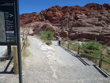
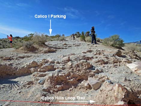
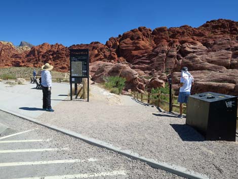 Calico Hills Trailhead sign (view NE) Calico Hills Trailhead sign (view NE) |
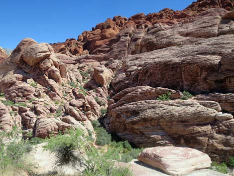
Overview Calico 1 Trail is short and a bit steep, but it leads from one of the most popular turnouts along the Scenic Loop Road to the edge of the Calico Hills -- giving visitors a chance to get up close and personal with the red and white sandstone crags. This isn't really a hike, but rather it is a chance for visitors to get out of their car, walk about 150 yards, and have a close-up experience with the spectacular sandstone cliffs of the Calico Hills. Adventuresome visitors can hike north or south on the Calico Hills Trail, or even scramble up into the cliffs. Link to Trail Map. |
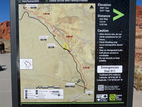 Details of Calico Hills 1 Trailhead sign; note "you are here" (view NE) |
Watch Out Other than the standard warnings about hiking in the desert, ... this hike is pretty safe and not far from the road. There are some rocky spots and loose gravel on the trail, and be extra careful on the edge of the cliffs at the Overlook. While hiking, please respect the land and the other people out there, and please try to Leave No Trace of your passage. Even though this hike is short, be sure to bring what you need of the 10 Essentials (or perhaps just a camera and a water bottle). Getting to the Trailhead From town, drive about 30 minutes to Red Rock Canyon National Conservation Area. From West Charleston at the Scenic Loop Road, turn right and drive north for 0.2 miles to the entrance station. Pay the fee, then drive forward and turn right onto the Scenic Loop Road. Pass the turnoff to the Visitor Center and drive north for 1.1 miles to Calico Hills I Trailhead, the first paved parking area on the right. Park here; this is the trailhead. |
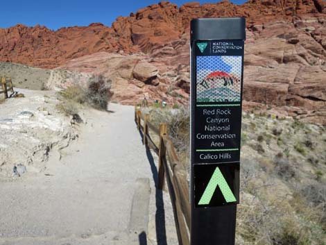 Calico Hills Trail sign (view NE) |
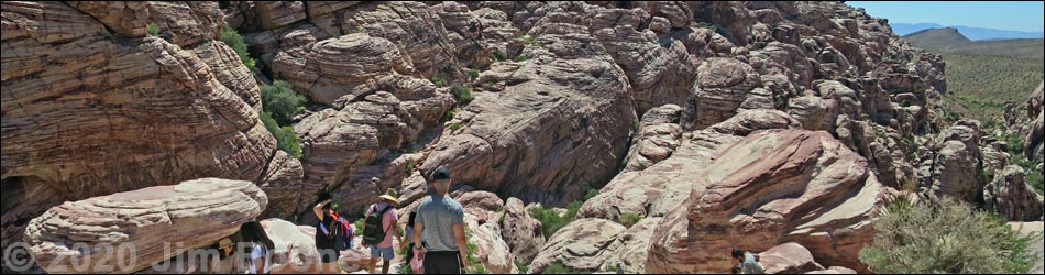
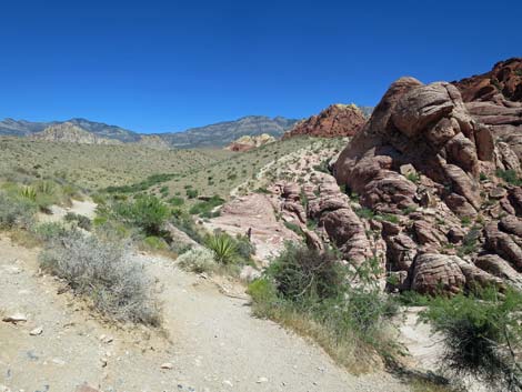
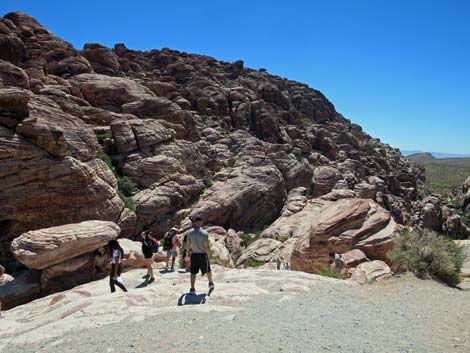
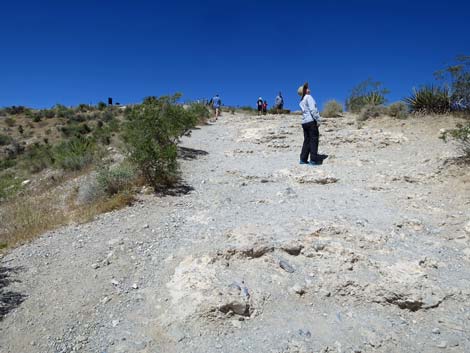
The Hike From the trailhead by the Calico Hills Trailhead sign (Table 1, Waypoint 01), the trail runs down the crest of the ridge with grand views left and right, not to mention the spectacular sandstone cliffs straight ahead. At about 125 yards out, the Calico 1 Trail crosses the Calico Hills Trail, which runs up and down the canyon. Continuing downhill, the Calico 1 Trail ends (150 yards out) at an overlook with grand views looking up at the cliffs and south down the canyon. This can be a busy spot, but find your spot, take a few photos, and experience the grandeur of the area. Being down and close to the Calico Hills, the experience is completely different than from the parking lot. Return to the trailhead by following your footprints in the dust back up the hill. |
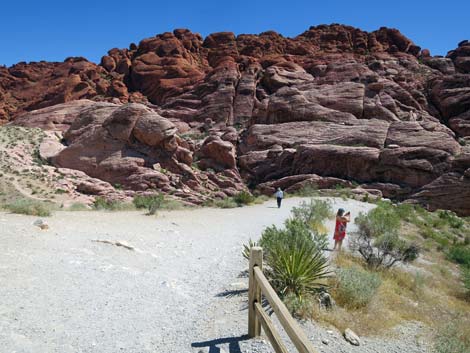
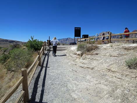
 Calico Hills Trail runs down from the parking area (view E) |
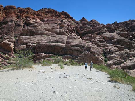
 Hikers on the trail (view E) |
 Broad trail runs down the ridgetop (view E) |
 Nice views northward (view N) |
 Calico Hills Trail exits to the left (view N) |
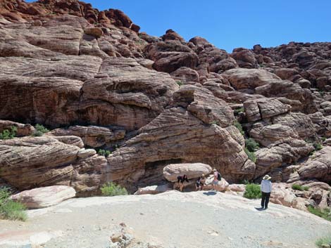 Hiker at Calico 1 Overlook (view SE) |
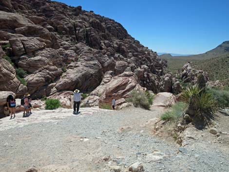 Calico Hills Trail exits to the right (view N) |
 Grand scenery down the canyon (view S) |
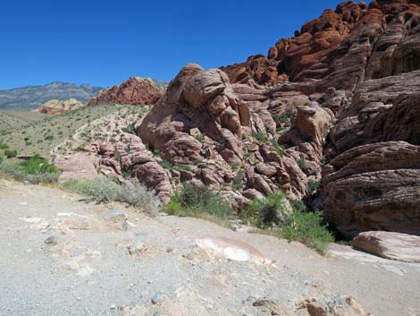
 Grand view of the cliffs above (view NE) |
 More to come ... |
Returning to the Trailhead
 Starting back up the Calico 1 Trail (view W) |
 Hiker stopping to watch a hawk soar by (view W) |
 Hiker on the way back up (view W) |
 Hiker arriving back at the trailhead (view W) |
Table 1. Highway Coordinates (NAD27; UTM Zone 11S). Download Highway GPS Waypoints (*.gpx) file.
| Wpt. | Location | UTM Easting | UTM Northing | Elevation (ft) | Point-to-Point Distance (mi) | Cumulative Distance (mi) |
|---|---|---|---|---|---|---|
| 1 | Calico 1 Trailhead | 641259 | 4001094 | 3,951 | 0.00 | 0.00 |
| 2 | Calico 1 Overlook | 641348 | 4001173 | 3,895 | 0.08 | 0.08 |
| 1 | Calico 1 Trailhead | 641259 | 4001094 | 3,951 | 0.08 | 0.16 |
Happy Hiking! All distances, elevations, and other facts are approximate.
![]() ; Last updated 240329
; Last updated 240329
| Hiking Around Red Rocks | Hiking Around Las Vegas | Glossary | Copyright, Conditions, Disclaimer | Home |