Hiking Around Las Vegas, Red Rock Canyon National Conservation Area
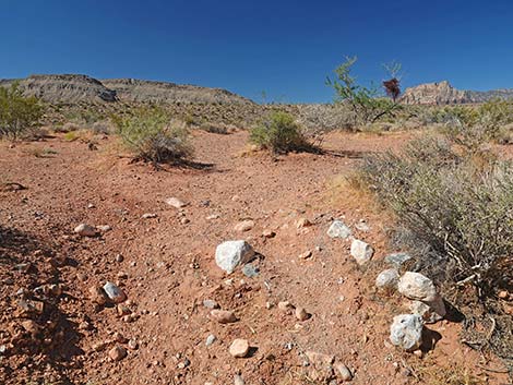
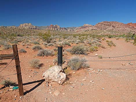
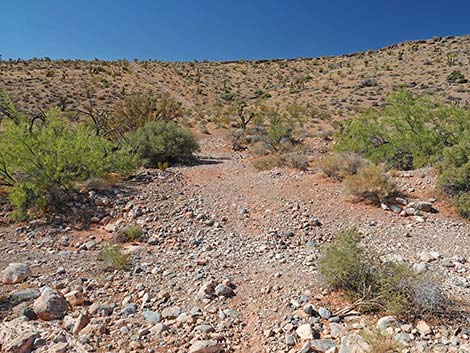
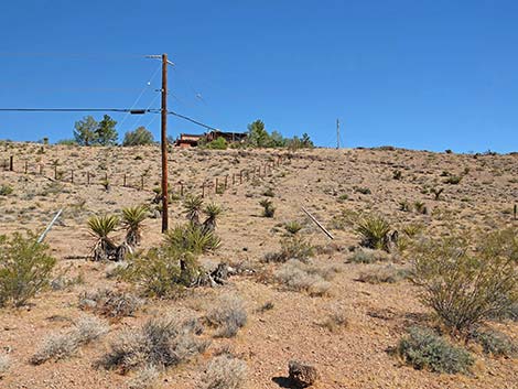
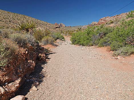
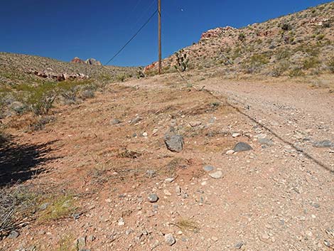
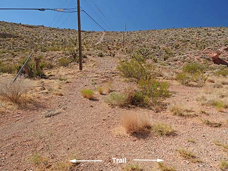
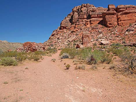
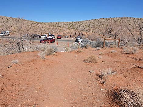
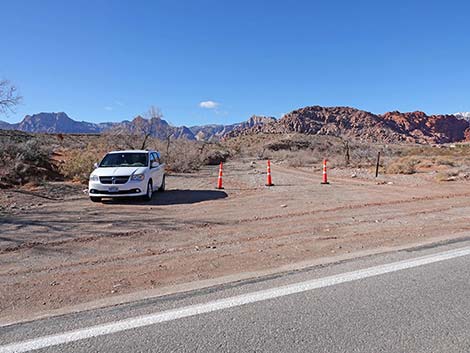 Trailhead parking on west side of Genes Trailhead (view E) |
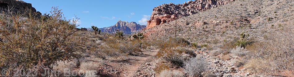
Overview The Calico Wash Trail is an easy 2.7-mile partial-loop trail that runs up a desert wash following an old road into an interesting boulder field below the toe of the Calico Hills. On the way out, the trail passes the boulder field to head farther up the canyon. This section, about 0.7 miles long, is the gem of this hike. Lush Mojave Desert Scrub vegetation and grand red-and-white sandstone cliffs combine to make this part of the hike worth the effort of getting here. Making a loop and coming back, the trail winds through the boulder field. This is a nice place to find shade, relax, eat lunch, and contemplate the messages people carved into the stone thousands of years ago. Departing the boulder field, the trail returns to the wash and follows the old road back to the trailhead. There is little elevation change on this hike. Link to trail map. |
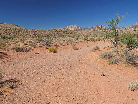
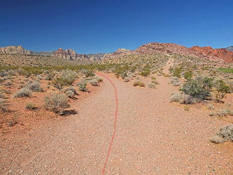
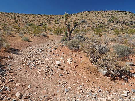
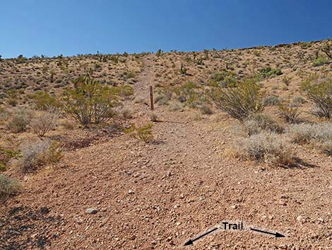
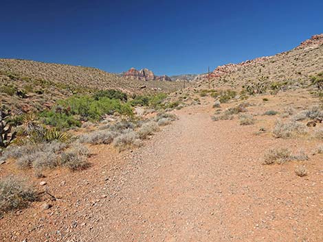
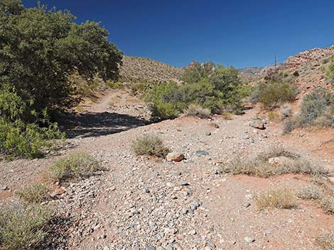
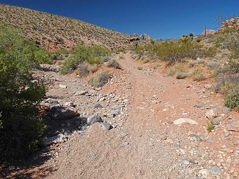
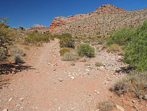
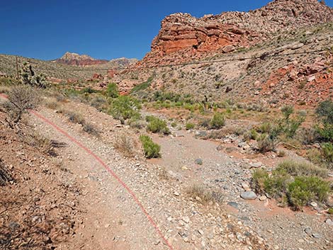
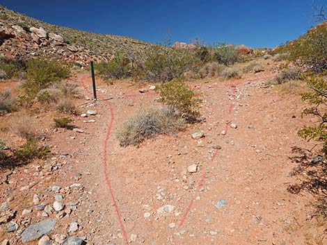
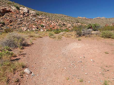
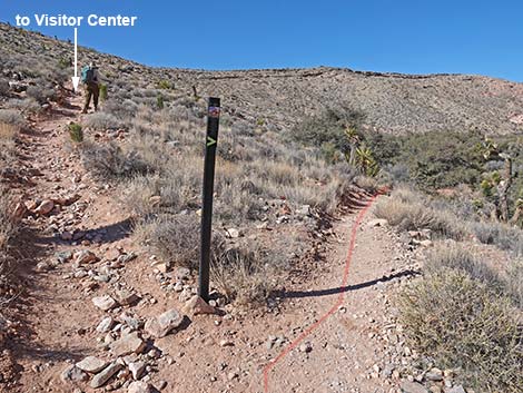
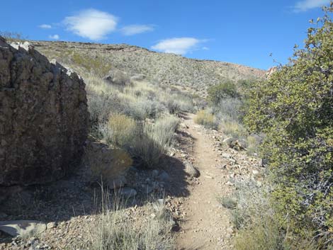
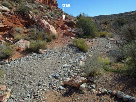
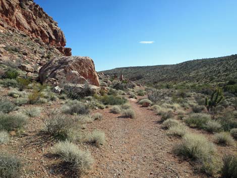
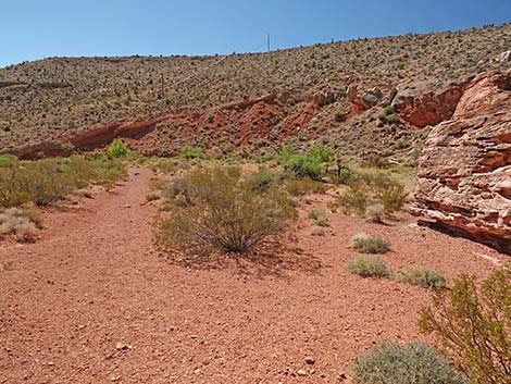
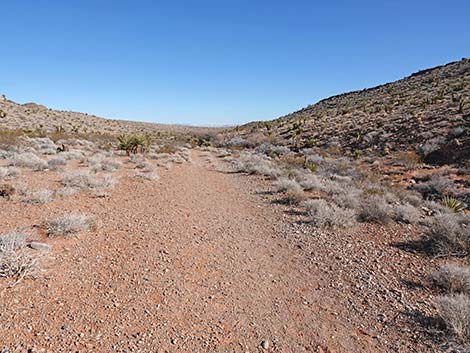
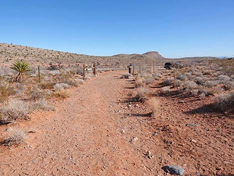
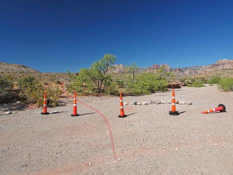 Trail exits parking area and wash to the left (view W) |
Watch Out Other than the standard warnings about hiking in the desert, ... this hike is fairly safe without any unusual hazards. In the boulder field, consider that all of the boulders came from up on the cliffs: geology is an ongoing process, and precariously perched boulders will eventually join those in the canyon bottom. While hiking, please respect the land and the other people out there, and please try to Leave No Trace of your passage. Even though this hike is short, be sure to bring what you need of the 10 Essentials. Getting to the Trailhead This hike is located in Red Rock Canyon National Conservation Area, about 25 minutes from town, but not inside the Scenic Loop Road fee area. Drive out West Charleston Blvd, turn right onto Calico Basin Road, and then drive 0.4 miles to the Genes Trailhead, on the right. Park here; this is the trailhead. |
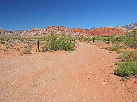
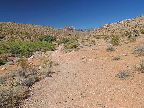
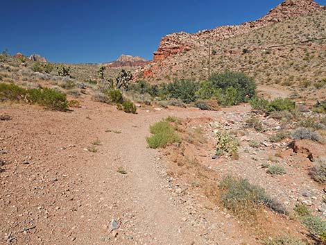
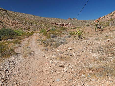
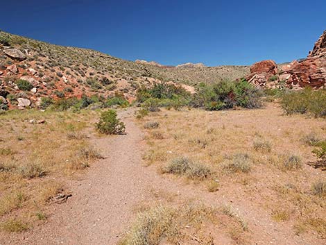
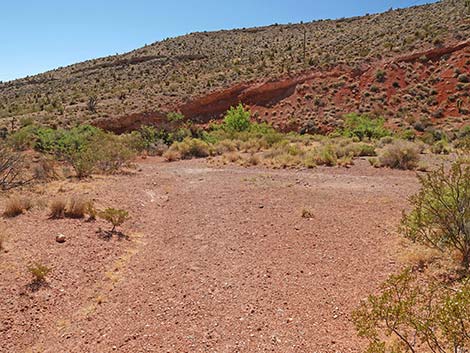
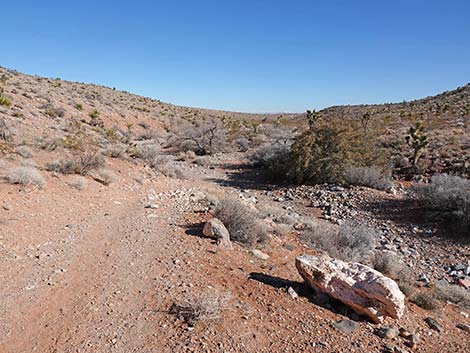
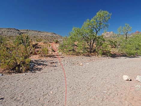 Trail exits parking area and wash to the left (view SW) |
The Hike From the trailhead (Table 1, Waypoint 01), hikers take a few steps up the sandy Calico Basin Wash, then angle left onto a use-trail that leads past wash-side trees. After walking past the trees, the trail joins an old road that runs west parallel to Calico Basin Wash. Calico Basin Wash drains the east side of the Calico Hills. The old road actually starts from the pavement at a parking area on the west side of Calico Basin Road, about 60 yards south of the main Genes Trailhead parking. As an alternative, hikers can park in this area and start hiking directly on the old road. On the old road, the trail runs west across Creosote-Bursage flats with wide open views. At this point, Calico Wash lies far to the left against the hills to the south. At about 0.13 miles out, the road forks (Wpt. 02), and the trail stays left. The other fork climbs onto a ridgeline heading towards newly built homes. Now heading southwest across desert flats, the trail runs out to Calico Wash. Calico Wash drains the west side of the Calico Hills. |
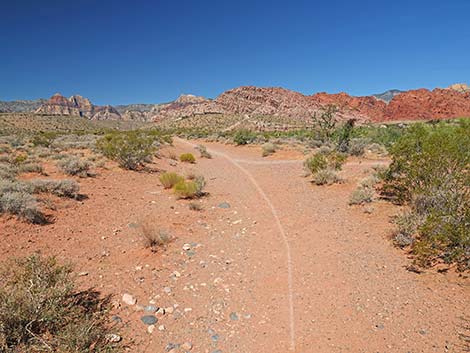
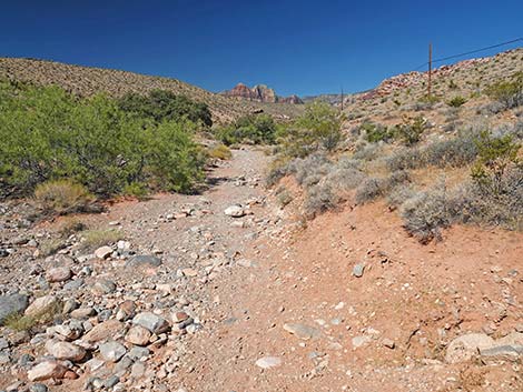
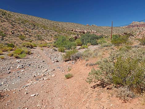
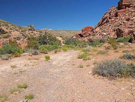
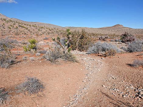
 Faint use-trail (view SW) |
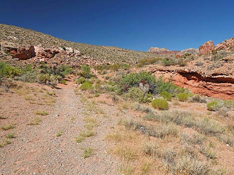
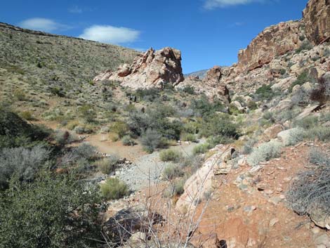
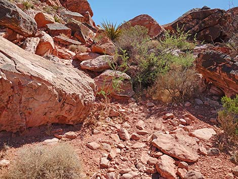
Nearing Calico Wash, the trail bends left and cuts directly across Calico Wash. On the other side, the trail arrives at a junction (Wpt. 03). Here, the Calico Wash Trail bends right to continue up the canyon, while the other trail climbs straight up the hillside to the ridgeline above. Continuing west, the old road runs on benches above the wash, periodically crossing the wash to the other side. Along this stretch, use-trails fork off on both sides, but the Calico Wash Trail always follows the old road in the bottom of the canyon. In this area, the vegetation becomes more diverse and robust, and the difference between wash-bottom vegetation and hillside vegetation becomes more clear. Rainwater and snow melt from the west side of the Calico Hills flows down this wash, even if it can't be seen on the surface. Desert Willow, Honey Mesquite, Shrub Live Oak, and Catclaw Acacia grow along the wash and put down deep roots tapping into underground moisture. These plants bring up water to grow leaves and fruits, but in doing so, provides food for leaf-eating bugs and pollinator species. These, in turn, are eaten by predatory bugs, lizards, and birds, thus creating a little ecosystem that only exists because the plants can tap underground water. |
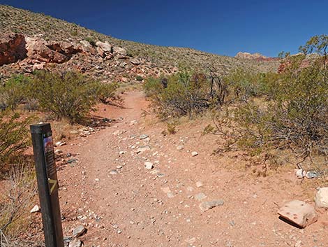
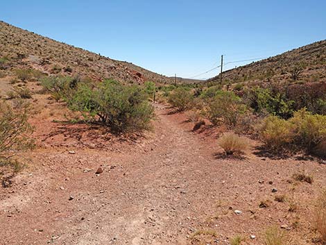
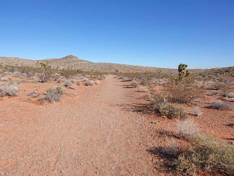
 Faint use-trail quickly joins old road (view W) |
On the hillsides, the plant strategy is to spread roots more widely collecting rainwater, and as can be seen, this strategy is less effective than growing in a wash and sending down deep roots. Heading into a canyon, homes can be seen atop the ridge to the north. Much of the top of the ridge is private land. Fences mark the property boundaries. At about 0.53 miles out, the old road appears to fork. Here, where telephone poles climb out of the canyon to the north, the trail stays left and drops to cross Calico Wash again. Continuing west, the trail runs up the canyon following the old road and the telephone poles. As the canyon walls become higher and hikers approach the sandstone crags of the Calico Hills, the trail encounters another trail junction (Wpt. 04). Here, at about 0.92 miles out, the Calico Wash Trail continues up the canyon while another old road leads steeply up the hillside to the south. The telephone poles follow this side road out of the canyon and out of sight. |
 Alternate Start: Direct start on the old road (view NW) |
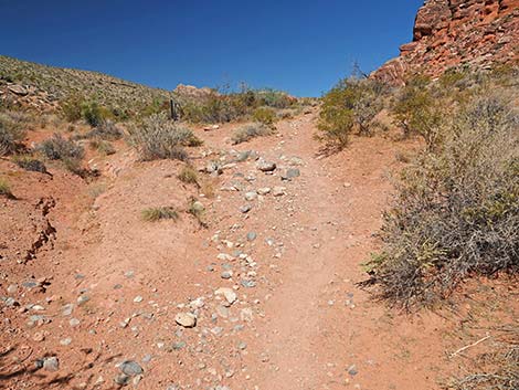
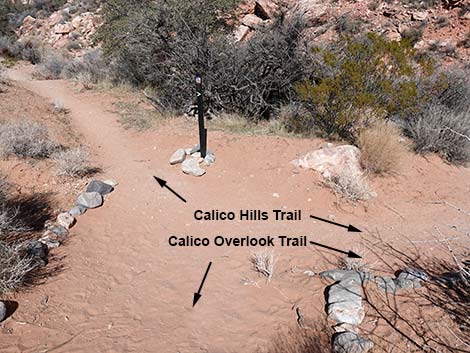
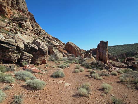
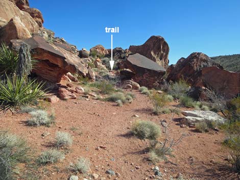
Passing under the telephone wires, the trail dips steeply in and out of the wash. On the other side, the trail encounters a T-intersection (Wpt. 05) with the Calico Overlook Trail, which comes steeply down the hillside from the north. The Calico Wash Trail continues straight across the intersection. The trail now arrives below the Calico Hills Cliffs near the edge of a field of enormous boulder that litter the canyon floor. In the old days, before Red Rocks became formalized, this area was a primitive camp site and perhaps a local party spot, and as such, vehicles came up here and trampled the vegetation. The open area makes trail finding somewhat troublesome over the next 100 yards, but in general, the Calico Wash Trail stays to the left. Entering the open area, the Calico Wash Trail arrives at a fork in the open area (Wpt. 06). The lure of the enormous boulders on the north side of the canyon is strong, but the Calico Wash Trail loops back through the boulder field, so staying left at this point, the trail drops towards Calico Wash (Wpt. 07). The trail crosses the wash and climbs rather steeply out the other side onto a bench above the wash. |
 Alternate Start: Direct start on the old road (view NW) |
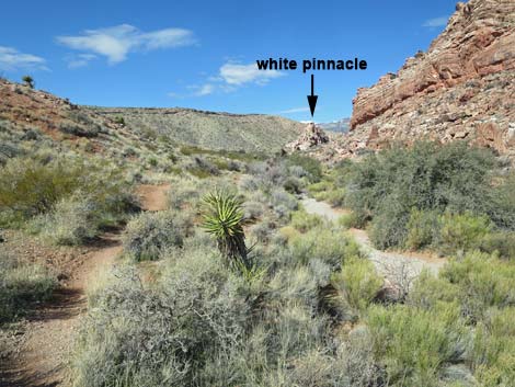
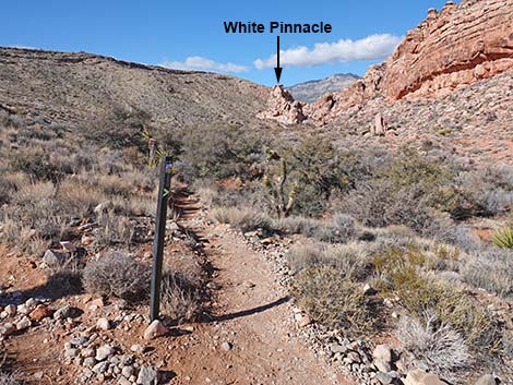
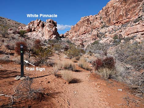
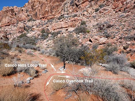
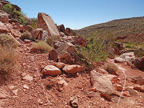
The trail runs along the bench with nice views down into Calico Wash, across to the boulder field, and up to the colorful sandstone cliffs that are the toe of the Calico Hills. There are several opportunities to drop into the wash, but resist the urge to turn right until the trail starts climbing the hillside as if to climb out of the canyon and over the ridge to the west. At a fork (Wpt. 08), the Calico Wash Trail turns right to more closely parallel the wash. While at the fork, notice to the northwest a white sandstone pinnacle that stands alone on the west (left) side of the wash. The trail runs out to within 150 feet of the white pinnacle before crossing the wash and looping back. Although there are plenty of places to cut down into the wash, there is a trail on the southwest bank of the wash all the way to a trail junction with the Calico Hills Loop Trail, which is quite obvious at that point. At the junction, the Calico Wash Trail turns right to cross Calico Wash (Wpt. 09) and climb onto the north bank. |
 Alternate Start: Direct start on the old road (view NW) |
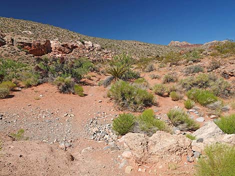
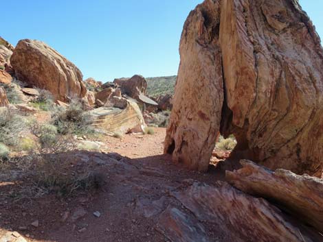
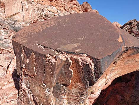
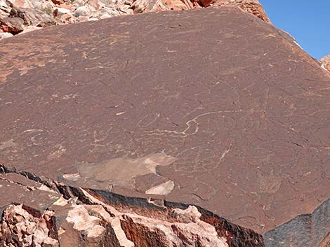
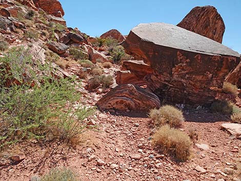
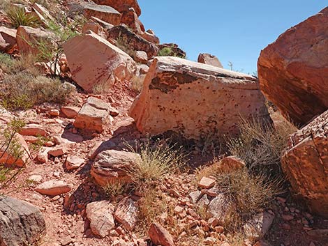
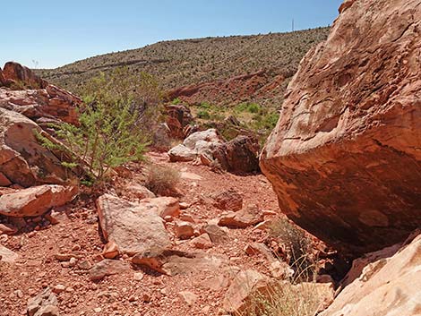
Now heading downstream, the Calico Wash Trail runs southeast on gentle slopes above the wash. The scenery is grand with crags overhead and the boulder field coming back into view. At about 300 yards past the wash crossing, the trail enters the boulder field (Wpt. 10). Here, the trail winds among colorful sandstone boulders that stand alone or stand in piles one atop another. It seems that there is a plethora of trails, but the main trail is fairly easy to follow, and in general it stays to the left through the largest of the boulders. In the thick of the boulder field, be sure to look up, as there are interesting messages from the ancients written on the stone. We will never know what they were saying, but it is always interesting to speculate. Please remember to abide by the proper etiquette here: look, don't touch, and don't add new marks. |
 Alternate Start: Direct start on the old road (view NW) |
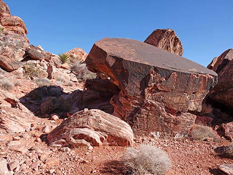
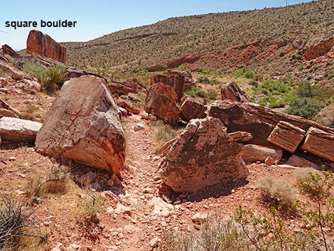
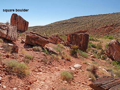
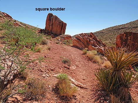
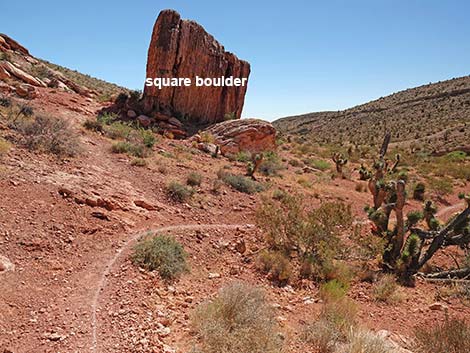
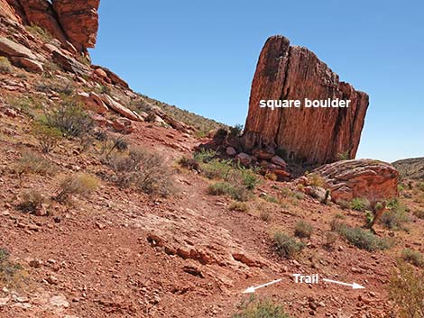
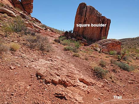
Continuing through the magnificent boulders, hikers eventually emerge onto the other side of the boulder field. Before reaching the last enormous "square boulder" ahead on the left, the trail forks (Wpt. 11). Here, the Calico Wash Trail turns right begins descending through the old camp area towards the wash below. Near the bottom of the slope, but well above the wash, the trail reaches yet another trail intersection (Wpt. 06). Here, the Calico Wash Trail closes the loop. Bending to the left, hikers might recognize their out-going footprints in the trail dust. The Calico Wash Trail quickly pass another trail junction (Wpt. 05) and descends to cross Calico Wash. Now heading east, the trail follows the telephone wires until they climb out of the canyon. Continuing east and crossing the wash several more times, hikers follow the old road and eventually return to the trailhead (Wpt. 01). |
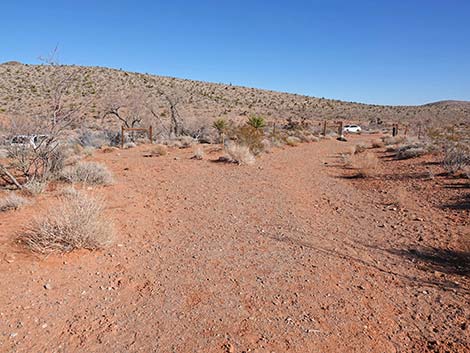
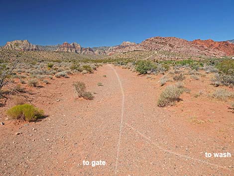 Both starts follow old road (view W) |
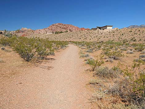
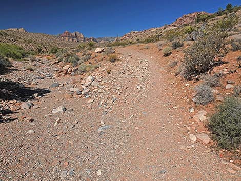
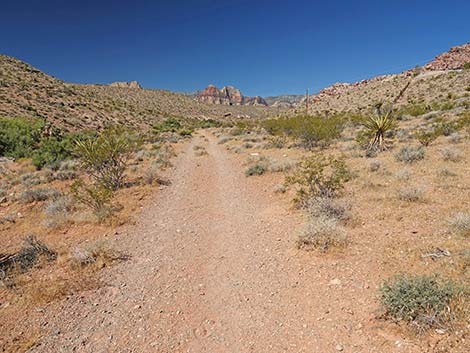
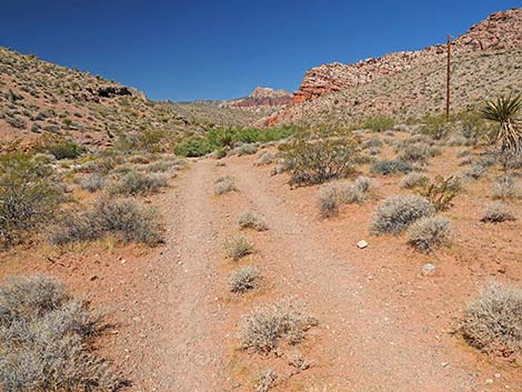
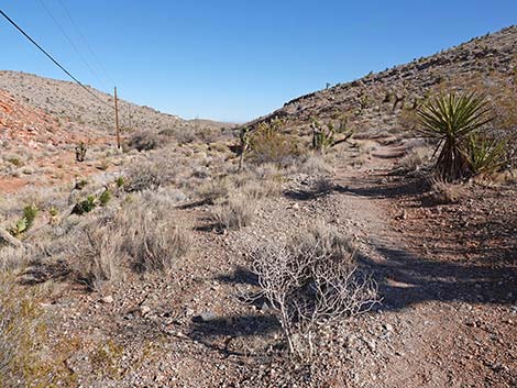
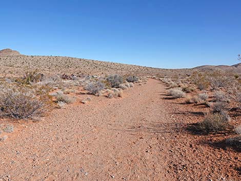
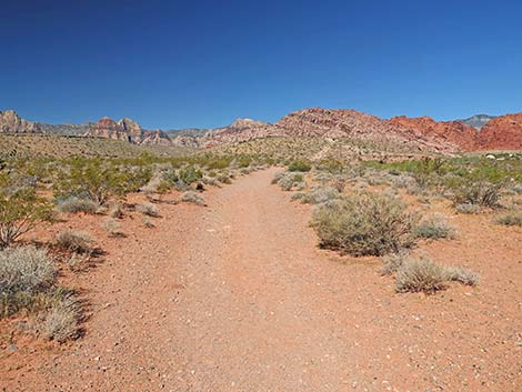 Trail follows old road (view W) |
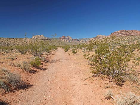
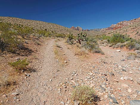
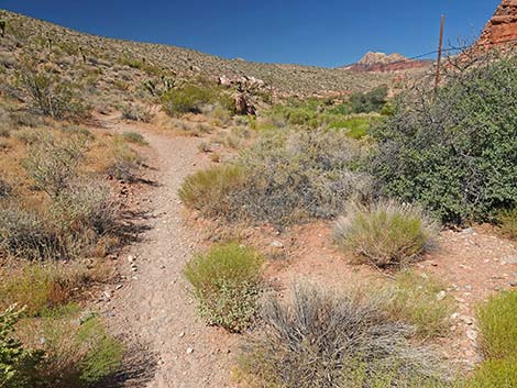
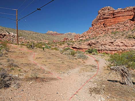
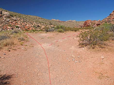
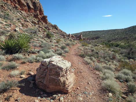
 Trail forks; stays left on desert flats (view W) |
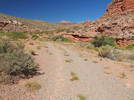
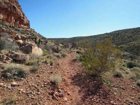
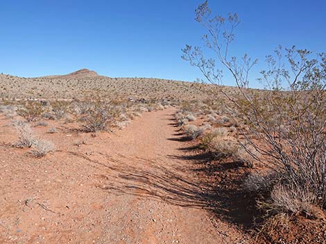
 Trail follows old road (view W) |
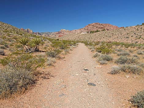
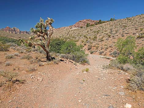
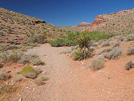
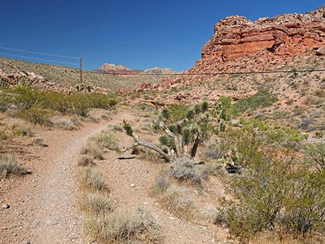
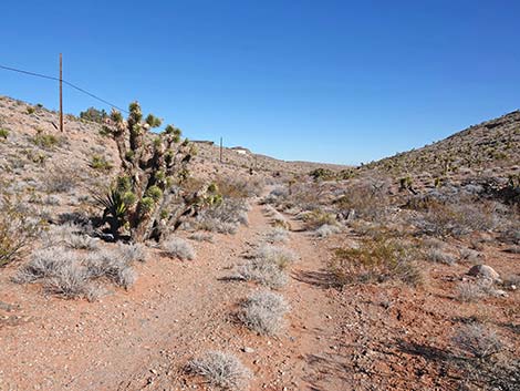
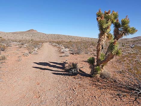
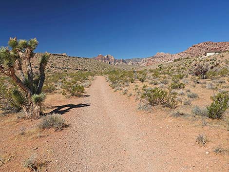 Trail passes an Eastern Joshua Tree (view W) |
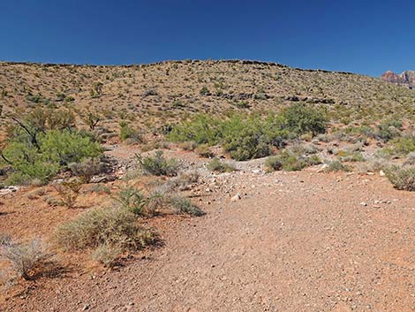
 Trail bends left (view W) |
 Trail bends left to cross Calico Wash (view SW) |
 Trail crossing Calico Wash (view SW) |
 Trail exiting Calico Wash (view SW) |
 Trail bends right to continue up along Calico Wash (view W) |
 Trail forks; Calico Wash Trail stays right (view SW) |
 Not the route -- side trail runs straight up the hillside (view S) |
 Homes along Calico Basin Ridge come into view (view NW) |
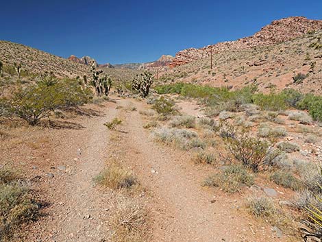
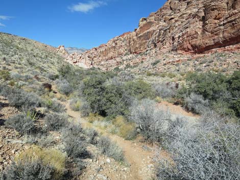
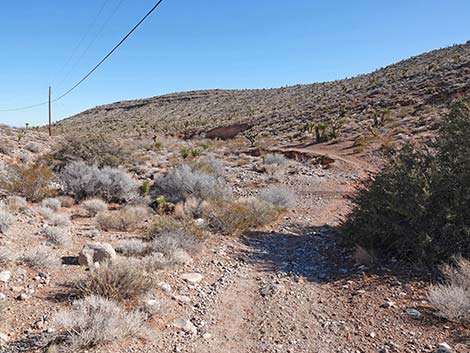
 Trail continues along Calico Wash into the canyon (view W) |
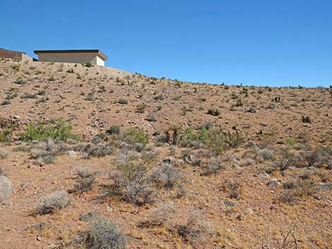 First house on the ridge; please respect private property (view N) |
 Trail drops to cross Calico Wash (view NW) |
 Trail climbs out of Calico Wash (view W) |
 Trail runs above Calico Wash (view W) |
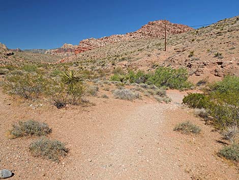
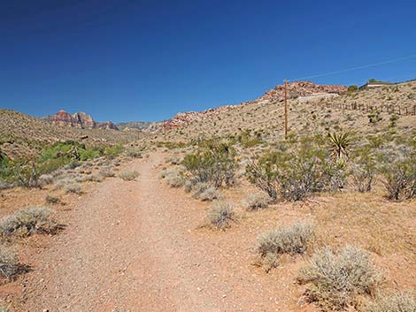 Trail approaches the telephone wires (view W) |
 Telephone poles head up the hill (view N) |
 Trail continues above Calico Wash (view W) |
 Trail drops to cross Calico Wash (view W) |
 Trail entering Calico Wash (view NW) |
 Trail crossing Calico Wash (view NW) |
 Trail climbs out of Calico Wash (view W) |
 Trail continues above Calico Wash (view W) |
 Trail drops into Calico Wash (view NW) |
 Trail runs up Calico Wash (view NW) |
 Trail climbs out of Calico Wash (view W) |
 Trail runs above Calico Wash (view W) |
 Trail drops to cross Calico Wash again (view W) |
 Trail crosses Calico Wash (view W) |
 Trail continues above Calico Wash (view W) |
 Trail drops to cross Calico Wash (view NW) |
 Trail climbs out of Calico Wash (view NW) |
 This time, the trail really climbs out of Calico Wash (view W) |
 Trail continues above Calico Wash (view W) |
 Trail drops to cross Calico Wash (view NW) |
 Trail climbs out of Calico Wash (view W) |
 Trail continues above Calico Wash (view W) |
 Trail approaches the telephone wires again (view W) |
 Under telephone wires, trail forks (view W) |
 Trail continues under the telephone wires (view W) |
 Not the route -- side trail runs straight up the hillside (view S) |
 Trail continues above Calico Wash (view W) |
 Trail drops steeply to cross Calico Wash (view W) |
 Trail climbs steeply out of Calico Wash (view W) |
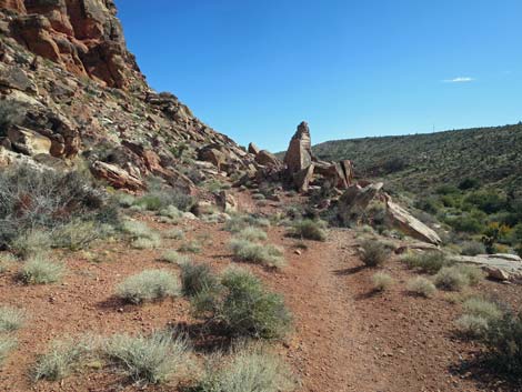
 Approaching a trail junction (view W) |
 Not the route -- side trail runs straight up the hillside (view N) |
 Trail continues past the junction (view W) |
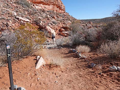
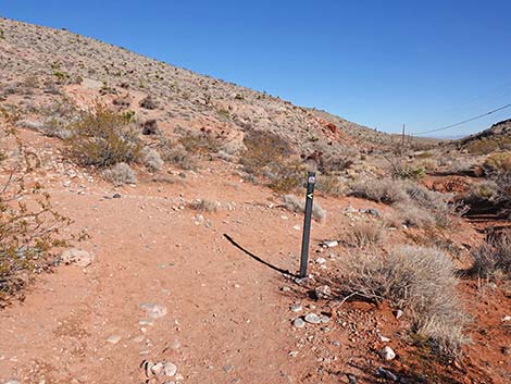
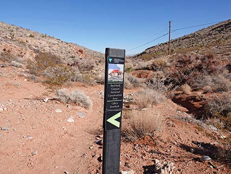
 Trail marker (view S) |
 Approaching another trail junction (view W) |
 Not the route -- side trail runs towards boulder field (view NW) |
 Trail stays left past junction (view W) |
 Trail continues above Calico Wash (view W) |
 Trail continues above Calico Wash (view W) |
 Trail drops to cross Calico Wash (view W) |
 Trail climbs very steeply out of Calico Wash (view W) |
 Short, steep climb to get out of the wash (view W) |
 An easy trail runs across the sidehill (view W) |
 Curious root |
 Trail runs above the wash (view NW) |
 Trail runs above the wash (view NW) |
 Trail runs above the wash; don't cut into the wash (view NW) |
 Fork where trail to VC starts climbing towards skyline (view W) |
 From the fork, the trail runs almost to the white pinnacle (view NW) |
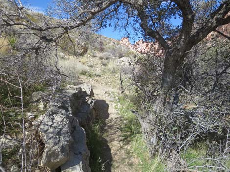
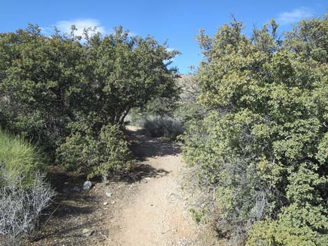 Trail runs between Live Oak Trees (view NW) |
 Trail runs past a Mojave Yucca (view NW) |
 Trail runs past a boulder (view NW) |
 Trail runs along the wash (view NW) |
 Trail stays above the wash (view NW) |
 Trail runs between an oak tree and a hard place |
 Trail runs past Catclaw Acacia with Mesquite Mistletoe (view NW) |
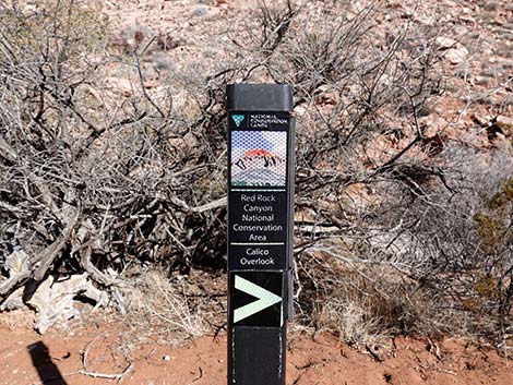
 Trail marker indicates an upcoming trail junction (view NW) |
 Trail sign: Calico Overlook Trail to the right (view NW) |
 Trail junction: Calico Overlook Trail curves back to the right (view N) |
 Trail sign: Calico Overlook Trail to the right (view N) |
 Trail junction: Calico Overlook Trail curves back to the right |
 Calico Overlook Trail joins Calico Hills Loop Trail (view N) |
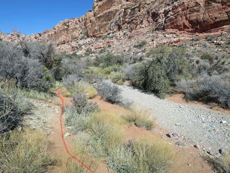
 Together, the trails run down to the gravel wash (view E) |
 Trail crosses the wash and climbs out the other side (view E) |
 One last look back at the white pinnacle (view NW) |
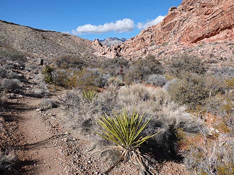
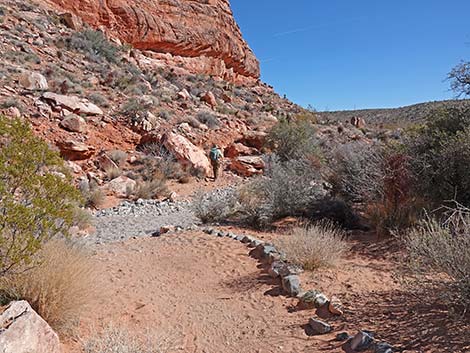
 Easy trail below the cliffs (view SE) |
 Easy trail below the cliffs (view SE) |
 Easy trail below the cliffs (view SE) |
 A nice place to sit and relax (view SE) |
 Calico Overlook Trail approaching the boulder field (view E) |
 Entering the boulder field, the trail forks; stay right (view E) |
 Calico Overlook Trail in the boulder field (view E) |
 Standing stone with passageway (view W) |
 Calico Overlook Trail in the boulder field (view E) |
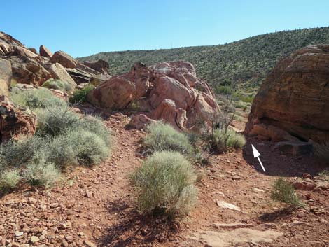
 Boulder with curious marks (view E) |
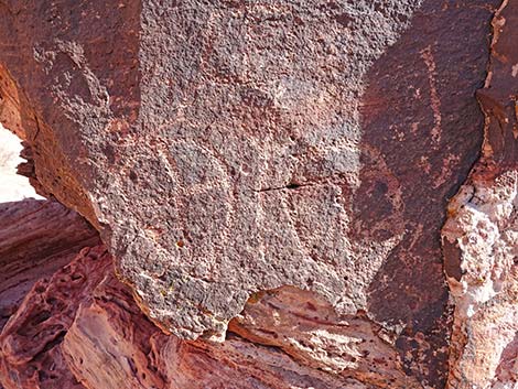 Boulder with curious marks (view E) |
 Boulder with curious marks (view E) |
 Boulder with curious marks (view E) |
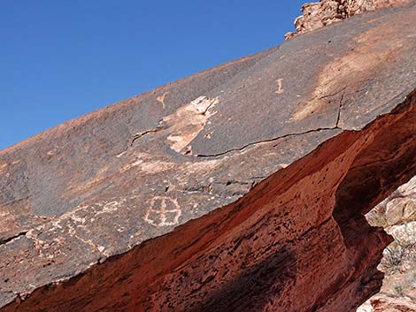 Boulder with curious marks (view E) |
 Trail continues left of the curiously marked boulder (view E) |
 Trail climbs around and over small boulders (view E) |
 Trail approaching top of the slope (view E) |
 At top of slope, trail forks; route stays right (view SE) |
 At top of slope, trail stays right (view SE) |
 Quickly, trail becomes more visible (view SE) |
 Trail continues across slope towards square boulder (view SE) |
 Trail continues across slope towards square boulder (view E) |
 Approaching a trail junction (view E) |
 At trail junction, route stays right to go down the hillside (view E) |
 Not the route -- side trail runs up across hillside (view N) |
 Trail runs down across the hillside (view SE) |
 Trail runs down across the hillside (view SE) |
 Trail returns to open area below boulder field (view SE) |
 Closing the loop: trail turns back towards trailhead (view E) |
 Trail continues straight past trail junction (view E) |
 Trail junction marker (view E) |
 Trail continues down the canyon (view E) |
 Trail drops to cross the wash (view E) |
 Trail crosses the wash (view E) |
 Trail continues down the canyon (view E) |
 Trail continues down the canyon (view E) |
 Trail drops to cross the wash (view E) |
 Trail drops to cross the wash for the last time (view E) |
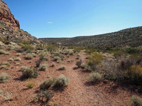
 Trail continues across open desert flats (view E) |
 Trail passes an Eastern Joshua Tree (view E) |
 Trail passing a Creosote Bush (view E) |
 Trail continues across open desert flats (view E) |
 Trail approaching trailhead parking (view E) |
 Use-trail leads to trailhead parking (view E) |
 Alternate ending on old road (view E) |
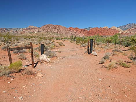
 Trail passes through trailhead gate (view E) |
Table 1. Hiking Coordinates Based on GPS Data (NAD27; UTM Zone 11S). Download Hiking GPS Waypoints (*.gpx) file.
| Wpt. | Location | UTM Easting | UTM Northing | Elevation (ft) | Point-to-Point Distance (mi) | Cumulative Distance (mi) |
|---|---|---|---|---|---|---|
| 01 | Genes Trailhead | 643595 | 4001096 | 3,608 | 0.00 | 0.00 |
| 02 | Old Road Forks | 643448 | 4001041 | 3,659 | 0.13 | 0.13 |
| 03 | Trail Junction | 643232 | 4000870 | 3,514 | 0.18 | 0.31 |
| 04 | Trail Junction | 642340 | 4000606 | 3,577 | 0.60 | 0.91 |
| 05 | Trail Junction | 642294 | 4000585 | 3,601 | 0.06 | 0.97 |
| 06 | Trail Joins Old Road | 642271 | 4000570 | 3,600 | 0.02 | 0.99 |
| 07 | Crossing the Wash | 642201 | 4000567 | 3,604 | 0.04 | 1.03 |
| 08 | Trail Forks | 641999 | 4000585 | 3,630 | 0.14 | 1.17 |
| 09 | Crossing the Wash | 641829 | 4000741 | 3,655 | 0.18 | 1.35 |
| 10 | West Edge of Boulder Field | 642026 | 4000622 | 3,647 | 0.16 | 1.51 |
| 11 | Trail Junction | 642199 | 4000609 | 3,646 | 0.13 | 1.64 |
| 06 | Trail Joins Old Road | 642271 | 4000570 | 3,600 | 0.05 | 1.69 |
| 05 | Trail Junction | 642294 | 4000585 | 3,601 | 0.02 | 1.71 |
| 04 | Trail Junction | 642340 | 4000606 | 3,577 | 0.03 | 1.74 |
| 03 | Trail Junction | 643232 | 4000870 | 3,514 | 0.63 | 2.37 |
| 02 | Old Road Forks | 643448 | 4001041 | 3,659 | 0.18 | 2.55 |
| 01 | Calico Basin Overlook Trailhead | 643605 | 4001095 | 3,608 | 0.12 | 2.67 |
Happy Hiking! All distances, elevations, and other facts are approximate.
![]() ; Last updated 240330
; Last updated 240330
| Hiking Around Red Rocks | Hiking Around Las Vegas | Glossary | Copyright, Conditions, Disclaimer | Home |