Hiking Around Las Vegas, Red Rock Canyon NCA
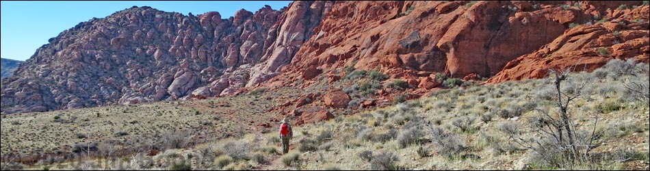
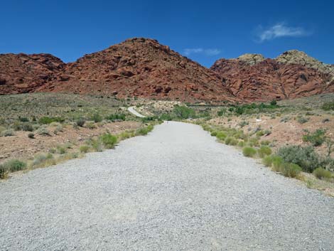
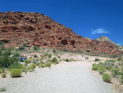
 Hiker departing Kraft Mountain Trailhead on an old road (view W) |
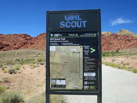
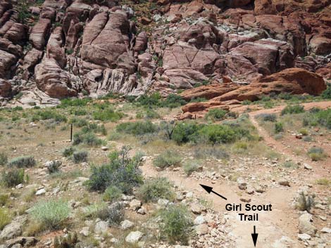
Overview Girl Scout Trail (southbound) is an easy 0.6-mile trail that runs from Kraft Mountain Trailhead to the base of Guardian Angel Canyon. As such, it is merely a trail segment rather than a trail, proper. Girl Scout Trail is part of the Calico Hills Loop Trail, and it connects with Calico Basin Trail, which runs from the base of Guardian Angel Canyon to Red Spring parking area. For hikers using this trail northbound, see Girl Scout Trail Northbound. Girl Scout Trail serves well as a connector trail, but as a stand-alone trail, it is not very interesting. However, it does seem to be an attempt by the BLM to define one trail and reduce the number of use-trails that are proliferating throughout the Calico Basin area. Hopefully people will stay on the trail and the land will recover. Link to trail map. |
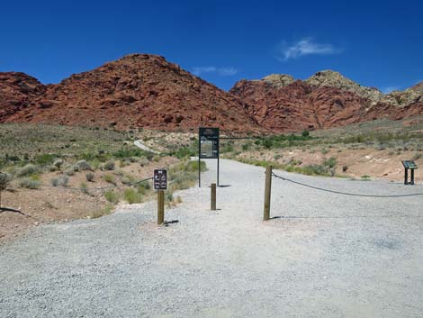
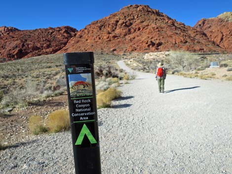
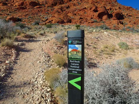
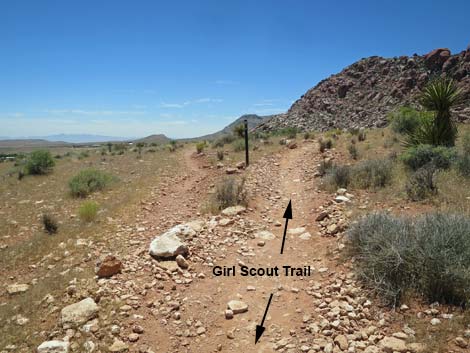
 Girl Scout Trailhead sign (view W) |
Watch Out Other than the standard warnings about hiking in the desert, ...this hike is about as safe as they get, but there was a loose rock where the trail crosses the spring outflow, and the trail is fairly rocky. While hiking, please respect the land and the other people out there, and try to Leave No Trace of your passage. Also, even though this is a short hike, be sure to bring what you need of the 10 Essentials. Be sure to stay on the trail in wet areas so as not to trample the delicate riparian vegetation. Getting to the Trailhead This hike is located in the Calico Basin area of Red Rock Canyon National Conservation Area, about 30 minutes from town (not on the Scenic Loop Road). Drive out West Charleston Blvd, turn right onto Calico Basin Road, then drive to the Kraft Mountain Trailhead at the end of the pavement. Drive to the far end of the trailhead parking area. Park here; this is the trailhead. |
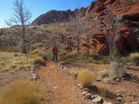
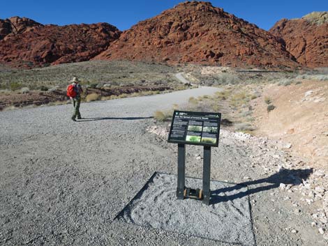 Hiker departing the Girl Scout Trailhead (view W) |
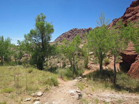
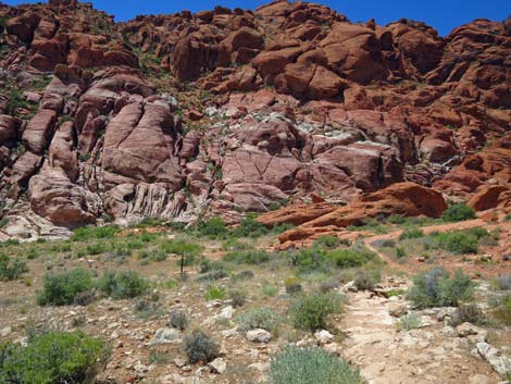
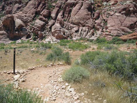
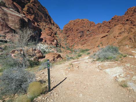
The Hike From the trailhead (Table 1, Waypoint 01), the hike exits the parking area heading west on a continuation of the parking lot road. From the trailhead, the gravel road can be seen running down to a low point, crossing a wash, then climbing out the far side of the wash. The hike runs out to where the road appears to end. Heading out the gravel road, the road dips to cross Ash Wash, then climbs again. Eventually it becomes apparent that the old road bends right onto an area graded for a home site. As the road bends right, Girl Scout Trail (Wpt. 02) leaves the old road to the left at a trail junction with a trail marker. The trail climbs the hillside for several yards, then bends left to head south along the base of the Calico Hills on an open hillside with broad views south and east across Calico Basin. At about 0.4 miles out, the trail crosses a small wash (Wpt. 03) where water flows during winter and spring. Note the Velvet Ash Trees that grow in the shallow canyon and reveal the presence of water, even if only underground water. |
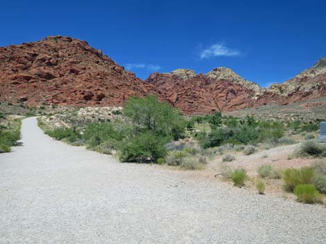
 Starting out on Girl Scout Trail (view W) |
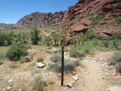
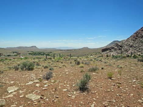
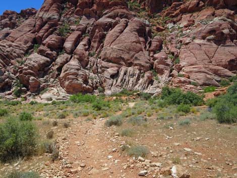
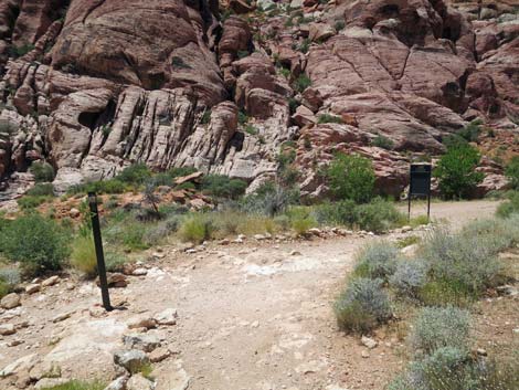
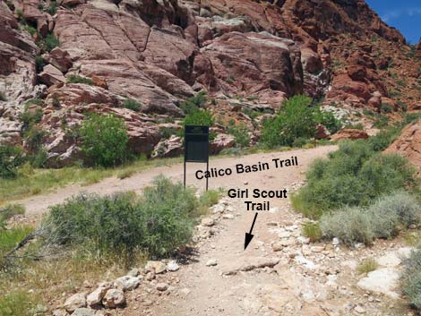
From the small wash, the trail climbs out of the shallow canyon and onto a second open hillside where again, broad views open up to the south and east across Calico Basin. The trail eventually passes against the toe of a red sandstone ridge and bends right where views into Guardian Angel Canyon begin. The trail winds down along the base of the cliffs and runs up into the mouth of Guardian Angel Canyon and arrives at the backside of a second Girl Scout Trail trailhead sign. From this point, hikers have several choices, including (1) turning around and heading back to the trailhead on the Girl Scout Trail, (2) continuing right up the rocky gully into Guardian Angel Canyon, and (3) turning left onto Calico Basin Trail and continuing south towards the Red Spring parking area. For those returning to Kraft Mountain Trailhead, see Girl Scout Trail Northbound. |
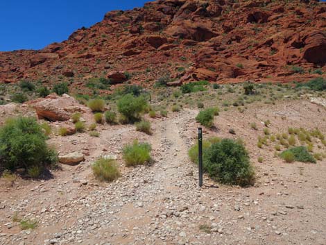
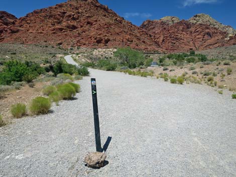 First Girl Scout Trail marker along the old road (view W) |
 Girl Scout Trail marker along the old road (view W) |
 Girl Scout Trail continues on old road (view W) |
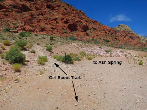
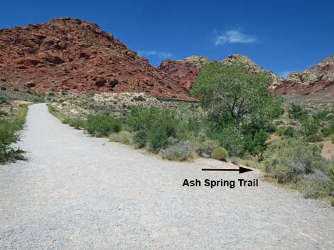 Girl Scout Trail approaching Ash Spring Trail (view W) |
 Ash Spring Trail (view N from Girl Scout Trail) |
 Crossing Ash Canyon Wash (view SE) |
 Girl Scout Trail approaching another access to Ash Spring Trail |
 Second Girl Scout Trail marker along the old road (view W) |
 Approaching trail junction where Girl Scout Trail leaves road (view W) |
 Girl Scout Trail departs the old road (view SW) |
 Trail marker at junction (view W) |
 Trail marker at junction (view W) |
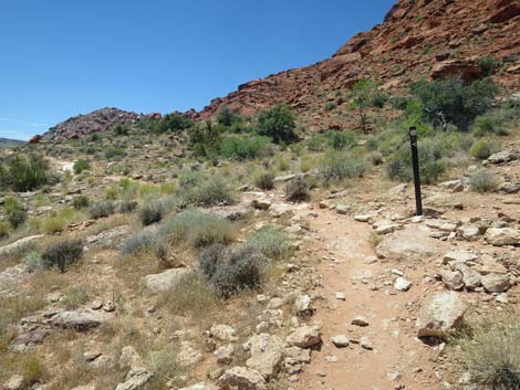 Girl Scout Trail climbs to another trail marker (view SW) |
 Girl Scout Trail runs on gentle terrain (view S) |
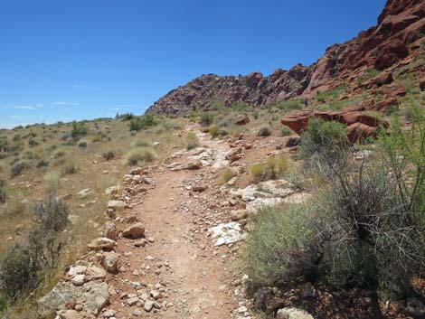
 Girl Scout Trail passes a boulder that fell from cliffs (view S) |
 Parts of Girl Scout Trail are smooth (view S) |
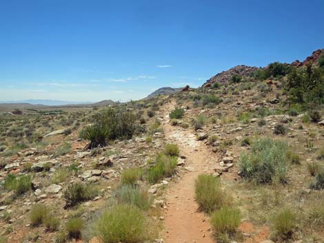
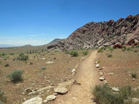
 Girl Scout Trail runs on gentle terrain (view S) |
 Girl Scout Trail crosses flat, open country (view S) |
 Girl Scout Trail descends towards a small wash (view S) |
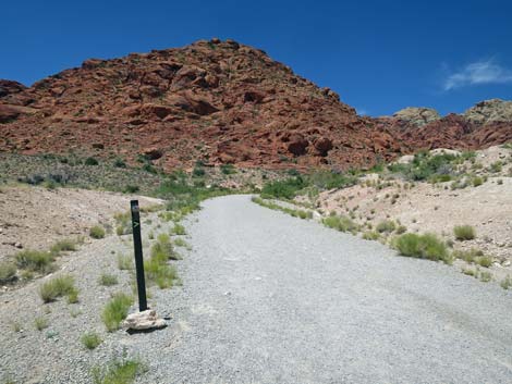
 Another trail marker (view S) |
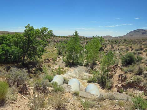
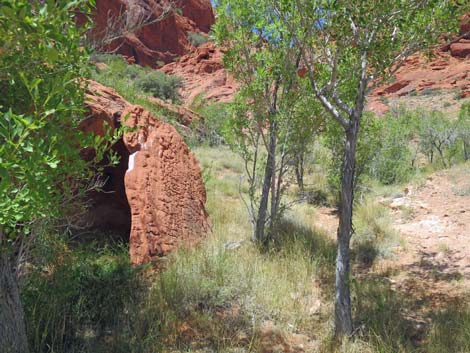
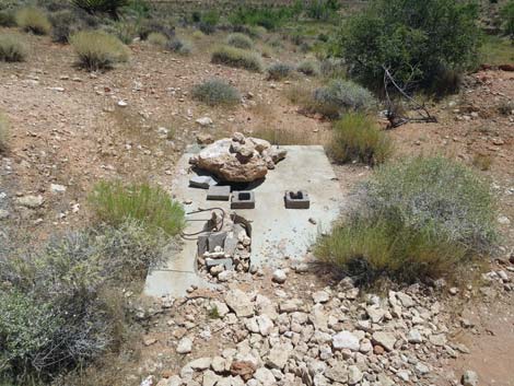 Perhaps an old well? |
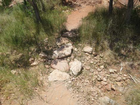
 Girl Scout Trail approaching a small wash (view S during summer) |
 Hiker crossing the small wash (view S during winter) |
 The streambed is dry during summer |
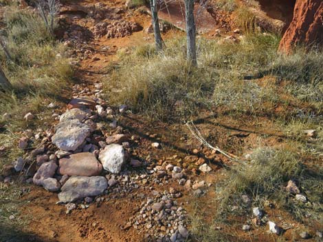 Just a trickle during winter |
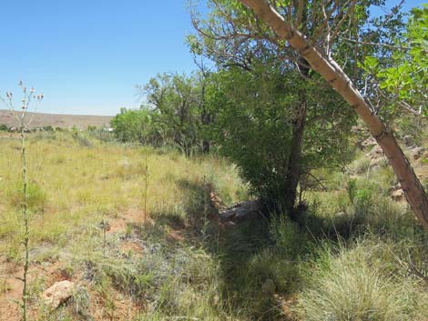 Ash trees along the streambed (view E; downstream) Ash trees along the streambed (view E; downstream) |
 Ash trees along the streambed (view W; upstream) |
 Girl Scout Trail climbs out of the small wash (view S) |
 Girl Scout Trail climbs gently across the hillside (view S) |
 Girl Scout Trail runs gently across the hillside (view S) |
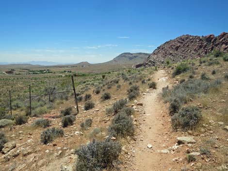
 Girl Scout Trail stays right past an old trail (view S) |
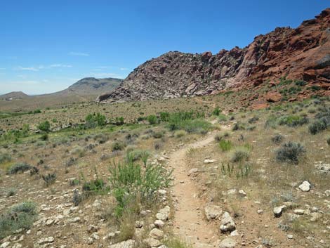
 Girl Scout Trail crosses flat, open country (view S) |
 Picnic tables from a failed commercial campground (view SE) |
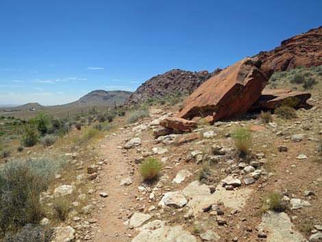
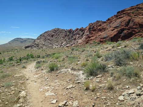
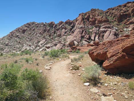 Girl Scout Trail stays right against the cliffs (view S) |
 Girl Scout Trail runs along the base of the cliffs (view S) |
 Girl Scout Trail runs along the base of the cliffs (view S) |
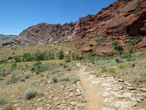
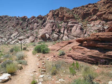
 Girl Scout Trail approaching Guardian Angel Canyon (view S) |
 Girl Scout Trail turning towards Guardian Angel Canyon (view S) |
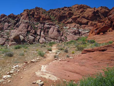
 Girl Scout Trail descending into Guardian Angel Canyon (view SW) |
 Girl Scout Trail stays right at another old trail junction (view SW) |
 Girl Scout Trail turning towards Guardian Angel Canyon (view SW) |
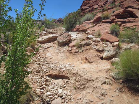
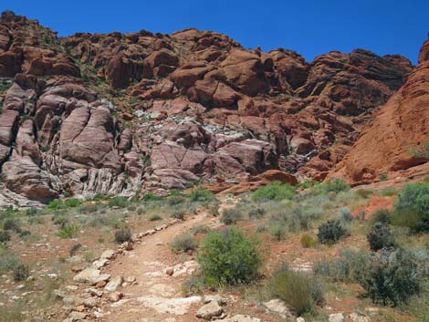
 Trail runs down at a moderate grade (view SW) |
 Trail stays right at another old use-trail (view SW) |
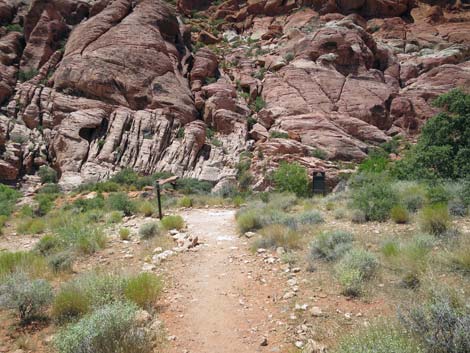
 Girl Scout Trail ends at Calico Basin Trail (view SW) |
 The trail continues into Guardian Angel Canyon (view NW) |
 More to come ... |
Table 1. Hiking Coordinates and Distances based on GPS Data (NAD27; UTM Zone 11S). Download Hiking GPS Waypoints (*.gpx) file.
| Wpt. | Location | UTM Easting | UTM Northing | Elevation (ft) | Point-to-Point Distance (mi) | Cumulative Distance (mi) |
|---|---|---|---|---|---|---|
| 01 | Girl Scout Trailhead | 642008 | 4002291 | 3,737 | 0.00 | 0.00 |
| 02 | Girl Scout departs Old Road | 641691 | 4002229 | 3,773 | 0.21 | 0.21 |
| 03 | Girl Scout crosses Wash | 641701 | 4001947 | 3,812 | 0.20 | 0.41 |
| 04 | Girl Scout Trail End | 641589 | 4001668 | 3,776 | 0.23 | 0.64 |
| 01 | Girl Scout Trailhead | 642008 | 4002291 | 3,737 | 0.64 | 1.28 |
Happy Hiking! All distances, elevations, and other facts are approximate.
![]() ; Last updated 240330
; Last updated 240330
| Hiking Around Red Rocks | Hiking Around Las Vegas | Glossary | Copyright, Conditions, Disclaimer | Home |