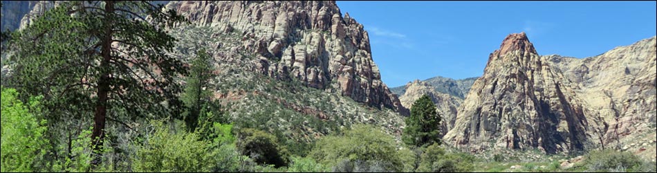
Hiking Around Las Vegas, Red Rock Canyon National Conservation Area
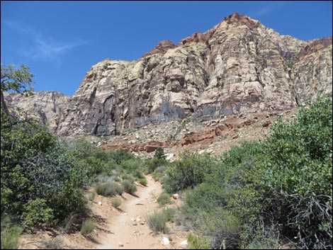
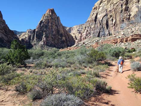
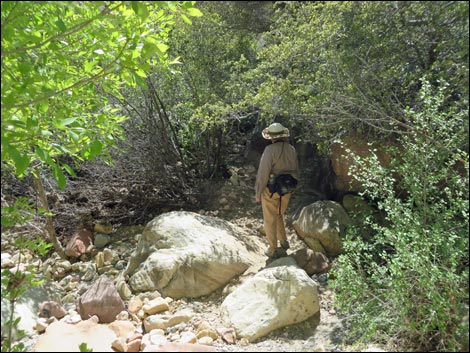
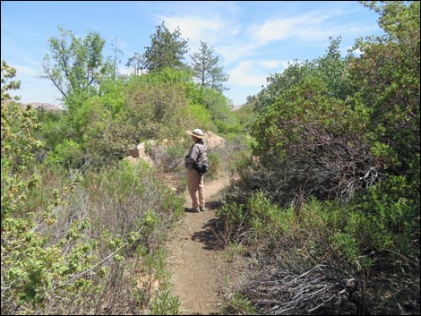
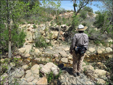
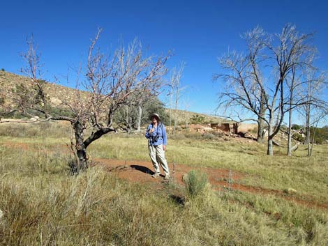
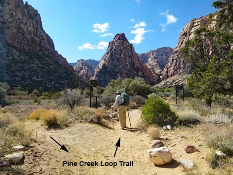 Hiker at start of loop trail (view W) |
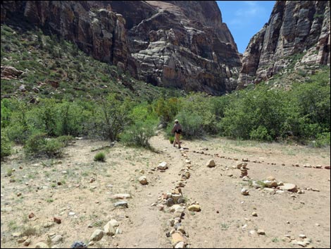
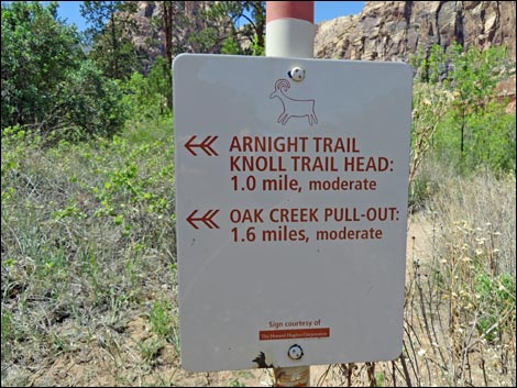
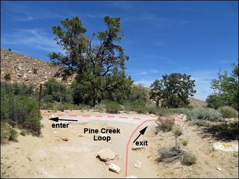
Overview Pine Creek Loop Trail a fairly easy 0.9-mile loop up into the depths Pine Creek Canyon. The trail runs up the north side of Pine Creek to the first fork in Pine Creek Canyon. The trail then crosses the seasonal stream and runs back down the south side of the canyon until rejoining the original route near the remains of the Wilson homestead. This area is interesting because it harbors a great botanical diversity of Mojave Desert Scrub vegetation with a relict population of ponderosa pines that normally are found at higher elevations. The canyon gets some full sun, especially early in the day, but generally it is a nice cool place to hike. The round-trip is about 2.5 miles, but from the top of the loop, hikers can scramble and boulder hop up the canyons into the Rainbow Mountain Wilderness Area for as far as they want. Note that new signs and info at the Pine Creek Kiosk for the Arnight Trail and Knoll Trail is incorrect. The error will be corrected but probably not until after fire season (Autumn, 2018). Link to map. Link to BLM Georeference PDF map file. |
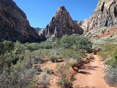
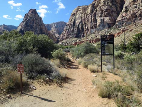 At junction, Pine Creek Loop Trail continues (view W) |
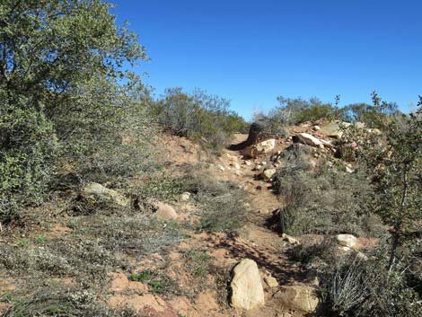
Watch Out Other than the standard warnings about hiking in the desert, ... this is a rocky trail where hikers have to keep watching their feet, but other than that, it is pretty safe on the trail. Up the canyons past the end of the loop, the route requires 2nd-class scrambling over and around boulders and up slick-rock terraces. Be careful when high enough to fall and hurt yourself, and watch for wet or icy rocks in the canyon and around the stream. Treat or filter the water before drinking (there are a lots of bighorn sheep in the canyon). While hiking, please respect the land and the other people out there, and try to Leave No Trace of your passage. Also, even though this is a short hike, be sure to bring what you need of the 10 Essentials. |
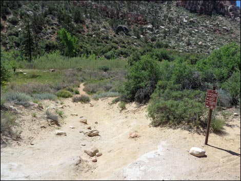
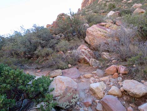
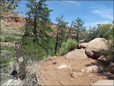
 Pine Creek Loop Trailhead sign (view W) |
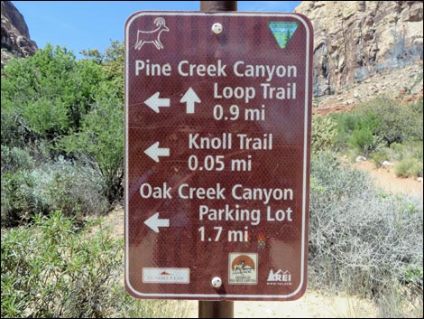
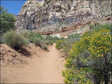
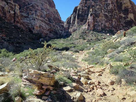
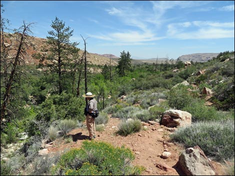
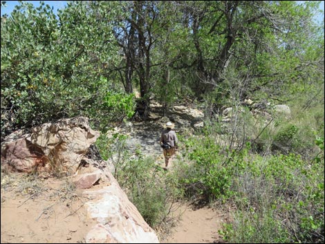
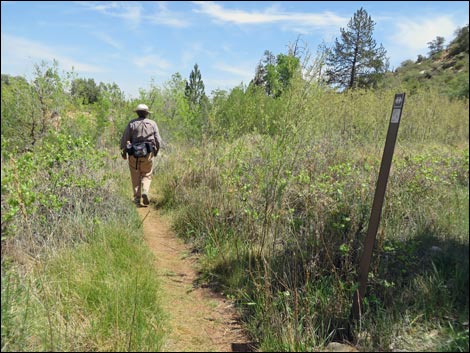
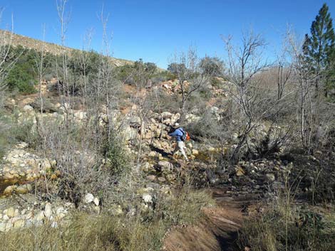
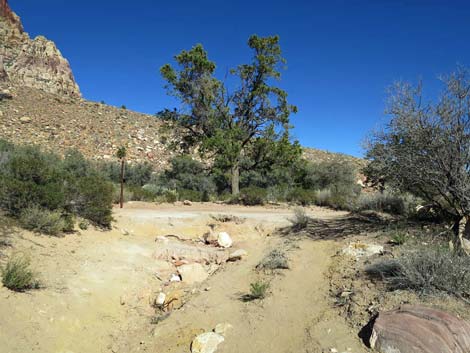
Getting to the Trailhead This hike is located along the Scenic Loop Road in Red Rock Canyon National Conservation Area, about 1 hour west of Las Vegas. Drive out to Red Rocks, pay the fee, and then drive about 2/3rds of the way around the Scenic Loop Road to the Pine Creek Canyon Trailhead. Park here; this is the trailhead. The Hike From the Pine Creek trailhead (Table 1, Waypoint 01), which sits atop a bench overlooking Pine Creek Wash, the well-worn trail runs south, cutting down and across a steep sidehill. Near the trailhead, the vegetation is fairly sparse and dominated by only a few species, including blackbrush, Mojave yucca, banana yucca, and Utah juniper. After dropping across the hillside, the trail turns right (Wpt. 02) onto the broad flats along Pine Creek Wash. Here, the soil moisture is higher, and the vegetation abruptly changes to include shrub live oak, big sagebrush, Utah juniper, desert willow, and buckhorn cholla. |
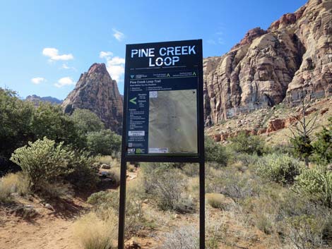
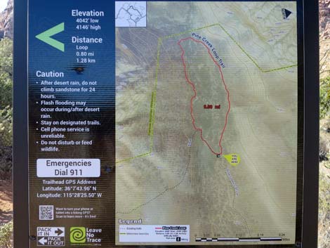 Pine Creek Loop Trailhead map (view W) |
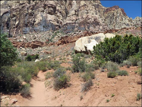
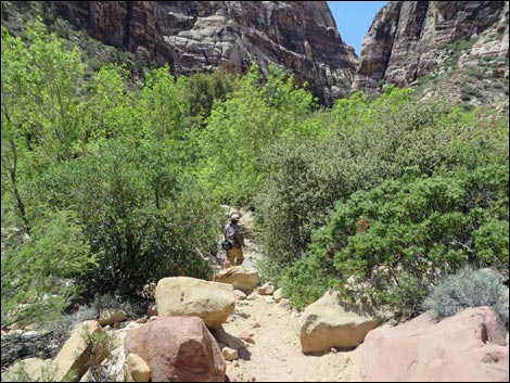
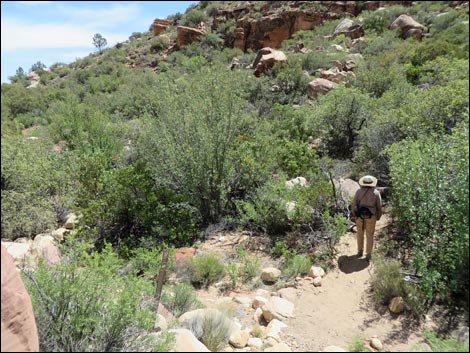
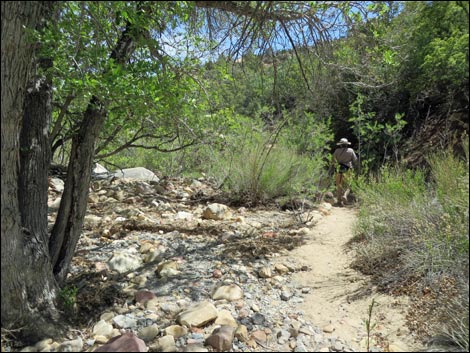
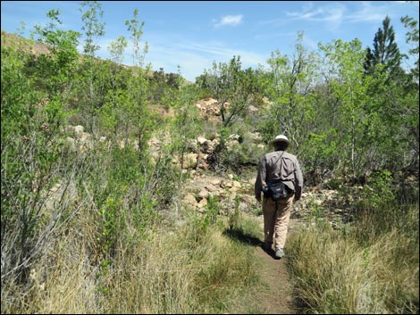
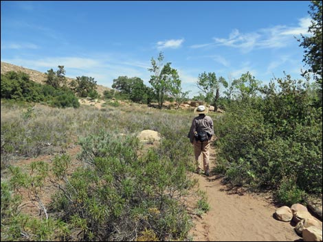
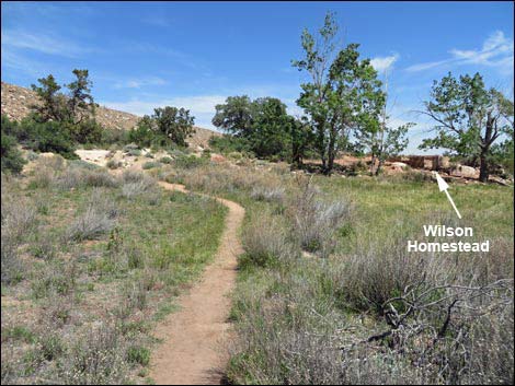
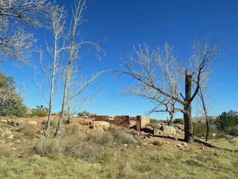
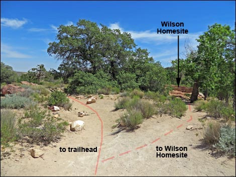
The trail runs west and shortly intersects the start of the Fire Ecology Trail (Wpt. 03). After only 45 yards, the main trail intersects the end of the Fire Ecology Trail (Wpt. 04). The Fire Ecology Trail makes a figure-8 loop over to Pine Creek where signs discuss efforts to control wildfire risk in the canyon. Continuing, the trail passes historic concrete and stone structures that used to mark the entrance to the Wilson Ranch. This is also the junction with Dales Trail (Wpt. 05). The vegetation here is much thicker and diverse; manzanita and yerba santa join the species mix, and ponderosa pines are nearby, however, a fire burned the north side of the trail a few years ago. The trail continues west towards a grove of ponderosa pine, a seasonal stream, and the remains of Horace Wilson's old homestead (Wpt. 06), which is just off the left side of the main trail. Old-man Wilson built his home in the early 1920s. He lived here for about 10 years and planted a big garden and orchard. Only the foundation of the house and some fruit trees remain. He left the canyon in 1933 and moved to Las Vegas where life was easier. |
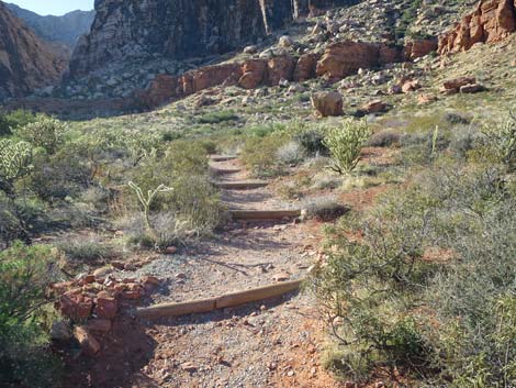
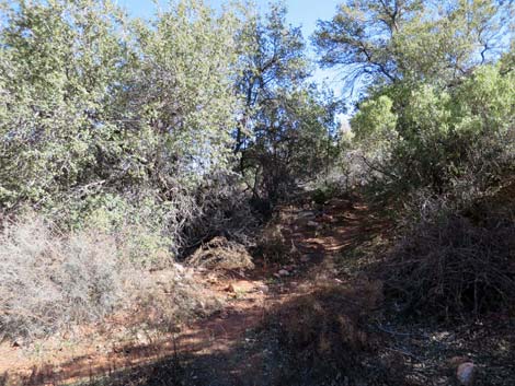
 Looking down the exit trail (view SW) |
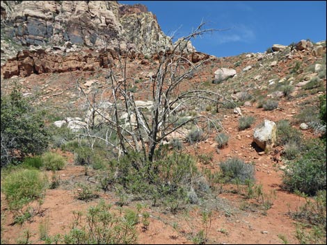
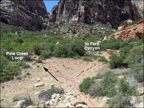
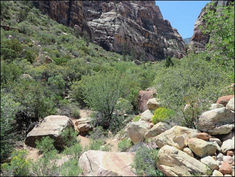
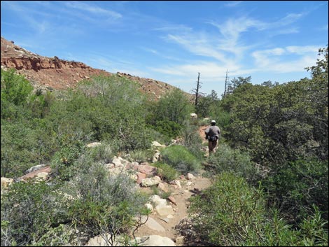
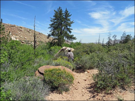
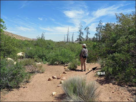
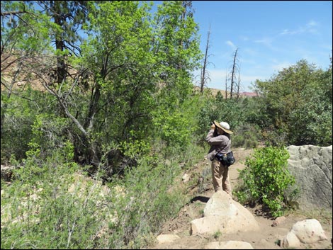
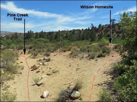
Continuing, the main trail forks (Wpt. 07) just past old-man Wilson's home, a total of 0.80 miles out. The fork is the start and end of a loop that runs up into the mouth of Pine Creek Canyon. In here, singleleaf pinyon pine, ashy silktassel, and many other species of shrubs join the species mix. Continuing up the right fork of the trail (heading west, not south), the trail starts into Pine Creek Canyon, proper. The trail runs along the north side of the canyon, beneath towering sandstone cliffs, nearly to the head of the canyon. Here, atop a high bench, the trail descends steeply onto sandy flats where rocks outline a large, triangular trail intersection (Wpt. 08). Here, the Pine Creek Trail turns left, while a use-trail goes right and up into Fern Canyon. A connector trail links these two to form the triangle. Hikers can continue up Fern Canyon on the north side of Mescalito Wall, the tall buttress that seems to block the head of the canyon. Following use-trails and scrambling over and around boulders, hikers can go as far as is desired. Higher up, the canyon is deep and narrow. |
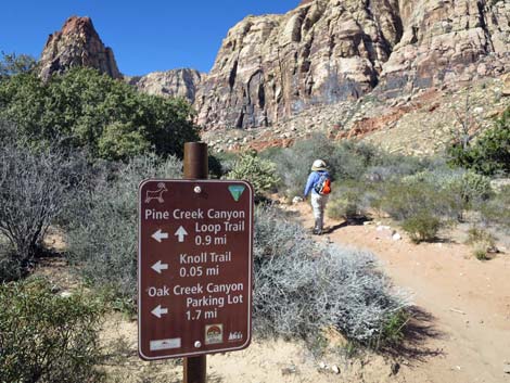 Trail sign at start of Pine Creek Loop Trail (view W) |
Staying left at the triangle-intersection (Wpt. 08), Pine Creek Trail turns south to cross the canyon just downstream from Mescalito Wall. The trail becomes somewhat difficult to follow in the bottom of the wash because of the many use-trails, dense shrubs and tree, and flashflood damage to the main trail. In this area, hikers can turn upstream and hike into the canyon on the south side of Mescalito (Pine Creek Canyon). Following use-trails and scrambling over and around boulders, hikers can go as far as is desired. Higher up, the canyon is deep and narrow, and it forks a couple of times. Given that hikers are boulder hopping up the canyon, they can go anywhere they want, but staying to the south (left) at the first fork and staying to the north (right) at the second fork is said to make for a good hike. Meanwhile, the Pine Creek Trail crosses the wash (Wpt. 09) and continues south and up the far hillside to a hard left turn (Wpt. 10) where the trail turns east and starts heading back down the canyon. |
 Sign: Pine Creek Loop (view W) |
The trail runs back down along the south side of the canyon through some very pretty country (e.g., Overlook; Wpt. 11) with lots of ponderosa pines. Erosion forces some rerouting of the trail, but it is fairly easy to follow. The trail eventually passes an intersection with the Arnight Trail (Wpt. 12). The Arnight trail forks off to the right (almost straight) and starts up the hillside, while the Pine Creek Trail turns left and descends towards Pine Creek. The trail crosses the creek (Wpt. 13), which usually has running water, and is full of cattail, desert willow, and rabbitbrush in addition to the ponderosa pine and shrub live oak overhead. The trail climbs out the other side of the creek and into the site of Mr. Wilson's old garden, then heads towards the homesite. Except for yerba santa, the garden is still mostly clear of shrubs after all these years. In the "meadow" area, the trail forks. The main fork runs across the meadow to reconnect directly with the Pine Creek Trail (Wpt. 07) to close the loop. The other trail runs directly towards the old homestead (Wpt. 06). On either trail, notice the old fruit trees along the trail to the homestead. When ready to head back, pick up the main trail by the homesite and walk 0.80 miles back to the trailhead (Wpt. 01). |
 Pine Creek Loop Trail (view NW) |
 Pine Creek Loop Trail (view NW) |
 |
 |
 |
 |
 |
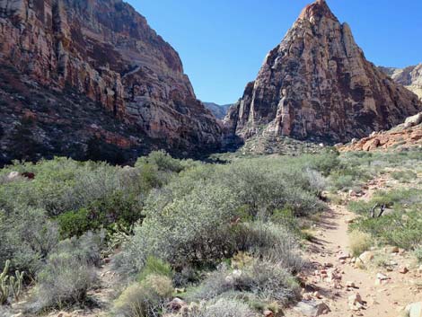 |
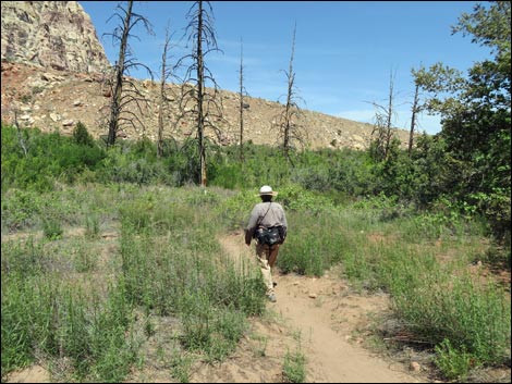
 Nearing the head of the canyon (view W) |
 Triangular trail junction: stay left on Pine Creek Trail (view SW) |
 Hiker staying left on Pine Creek Trail (view SW) |
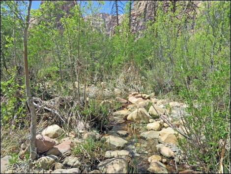
 Trail winds through thickets to Pine Creek (view SW) |
 Crossing Pine Creek Wash isn't always obvious (view S) |
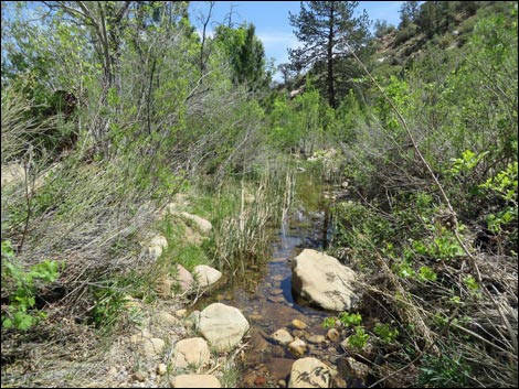
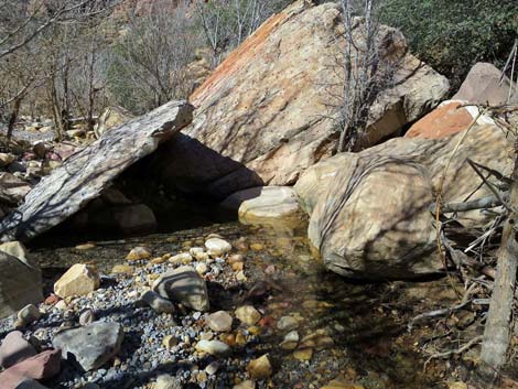 Pine Creek flowing during spring (view S) |
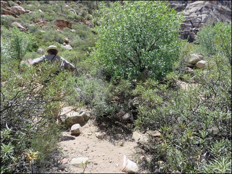 Stay left at unmarked forks (view S) ... Stay left at unmarked forks (view S) ... |
 ... the right forks go up Pine Canyon (view SW) |
 Pine Creek Trail turns left (view SE) |
 Trail across the wash becomes more obvious (view SE) |
 Trail turning back down along Pine Creek (view E) |
 Trail turning back down along Pine Creek (view E) |
 Old trail fell away, but now turns right staying on bench (view E) |
 Pine Creek Overlook (view E) |
 Pine Creek Trail (view E) |
 Pine Creek Trail (view E) |
 Hiker on trail following bench ... |
 ... but trail drops into wash ... |
 ... then climbs back out ... |
 ... and follows along bench again (view E) |
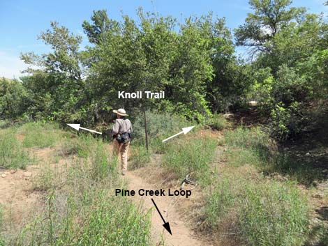 Hiker at Knoll Trail junction (view E) |
 Knoll Trail (view SE from Pine Creek Trail) |
 Hiker on Knoll Trail (view NE) |
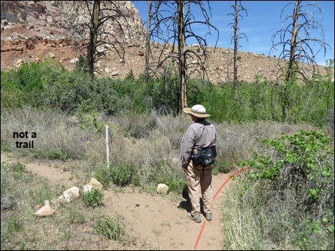 Junction with old trail (now closed due to washouts) (view N) |
 Sign at junction with old trail (view W) |
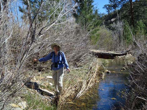
 Hiker approaching Pine Creek crossing (view E) |
 Hiker at Pine Creek crossing (view NE) |
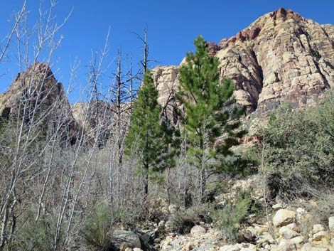 Young ponderosa pine growing where older trees have died |
 Hiker at Pine Creek crossing (view NE) Hiker at Pine Creek crossing (view NE) |
 Pine Creek upstream (view W) |
 Pine Creek downstream (view E) |
 Keeping her toes dry (view E) |
 Hiker across Pine Creek (view NE) |
 Trail climbs back to get out of the wash (view NE) |
 Hiker entering Mr. Wilson's garden plot (view E) |
 Trail crossing Mr. Wilson's garden plot (view NE) |
 Hiker inspecting one of Mr. Wilson's apple trees (view NE) |
 Mr. Wilson's homesite (view NE) |
 Approaching the end of the loop on Pine Creek Loop Trail (view NE) |
 End of Pine Creek Loop (view NE) |
 Cutoff to Wilson homesite (view SE) |
 Starting back down the Pine Creek Canyon Trail (view SE) |
Table 1. Hiking Coordinates Based on GPS Data (NAD27; UTM Zone 11S). Download Hiking GPS Waypoints (*.gpx) file.
| Wpt. | Location | UTM Easting | UTM Northing | Elevation (ft) | Point-to-Point Distance (mi) | Cumulative Distance (mi) |
|---|---|---|---|---|---|---|
| 07 | Pine Creek Loop Starts | 636477 | 3998548 | 4,030 | 0.00 | 0.00 |
| 08 | Trail junction, Fern Canyon | 635984 | 3998560 | 5,880 | 0.35 | 0.35 |
| 09 | Pine Creek Wash Crossing | 635946 | 3998508 | 4,134 | 0.04 | 0.39 |
| 10 | Trail Turns | 635968 | 3998457 | 4,147 | 0.05 | 0.44 |
| 11 | Pine Creek Overlook | 636080 | 3998466 | 5,307 | 0.08 | 0.52 |
| 12 | Trail Junction, Knoll Trail | 636346 | 3998456 | 4,067 | 0.25 | 0.77 |
| 13 | Pine Creek Wash Crossing | 636397 | 3998488 | 4,052 | 0.05 | 0.82 |
| 07 | Pine Creek Loop Starts | 636477 | 3998548 | 4,030 | 0.07 | 0.89 |
Happy Hiking! All distances, elevations, and other facts are approximate.
![]() ; Last updated 240330
; Last updated 240330
| Hiking Around Red Rocks | Hiking Around Las Vegas | Glossary | Copyright, Conditions, Disclaimer | Home |