Hiking Around Las Vegas, Red Rock Canyon National Conservation Area
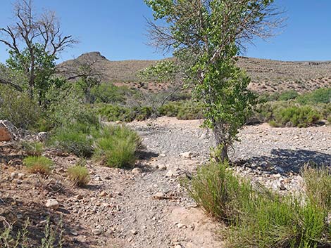
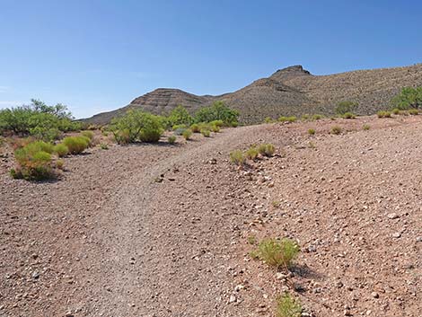
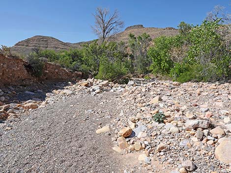
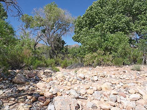
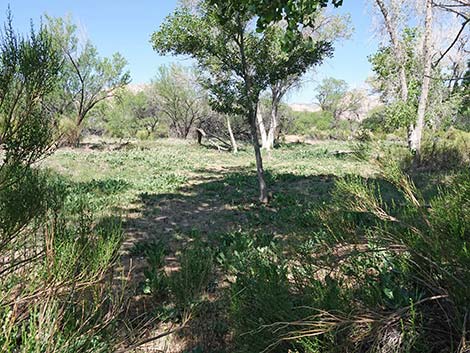
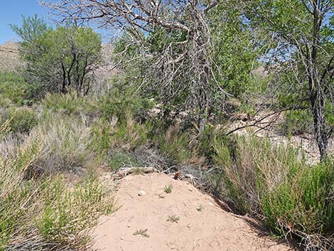
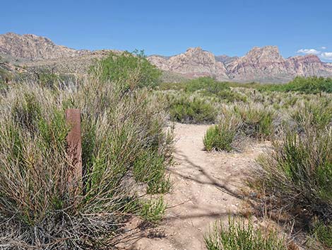
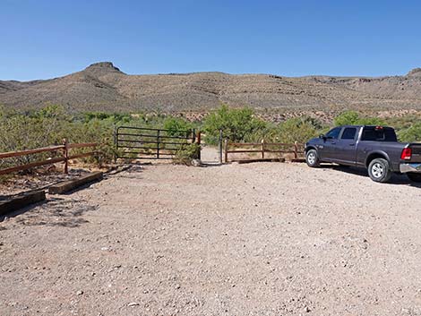 Wheeler Camp Spring trailhead parking (view S) |
Overview The Wheeler Camp Spring Trails are a pleasant place for a short walk in the woods, or at least a walk in a desert riparian area. This is a spring area with a long history. Native peoples would have used it over the last 10,000 years or so, and European peoples probably started using it in the late 1500s when it became part of the Old Spanish Trail. The Wheeler Survey (1872-1879), one of the Four Great Surveys, was conducted by the US government to document the geology and natural resources of the American West. Local lore suggest that the expedition camped here, hence the name: Wheeler Camp Spring. More recently, the area has been used by Blue Diamond for water and people for camping and partying. For a time, the local Audubon Society managed the area to benefit wildlife, but that fell apart when the BLM was cutting down on partner organizations. The area now sits quietly, still benefiting birds and toads, beaconing visitors to stop for a short walk. Link to map. |
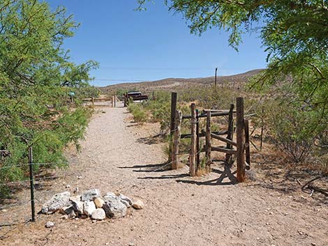
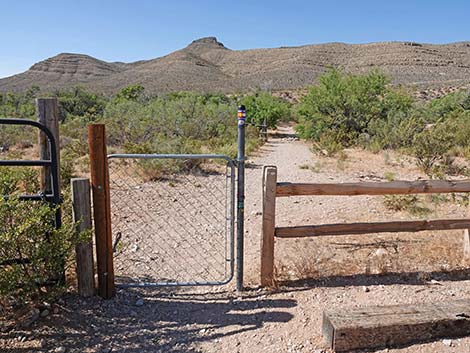 First gate at the edge of the parking area (view S) |
Watch Out Other than the standard warnings about hiking in the desert, ...these are pretty safe hikes, even for kids. Be mindful when walking in overgrown vegetation because the riparian area attracts lots of wildlife, including snakes. Watch for slippery rocks along the creek during summer, and watch for ice during winter. In and around desert washes, always be aware of the potential for flash floods. While hiking, please respect the land and the other people out there, and try to Leave No Trace of your passage. Also, even though this is a short hike, be sure to bring what you need of the 10 Essentials. |
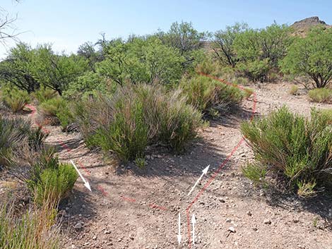
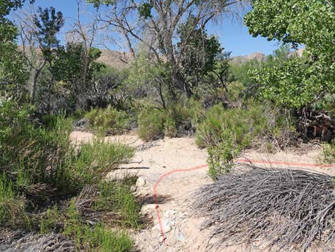
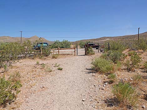
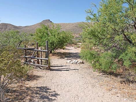 Approaching the second gate (view S) |
Getting to the Trailhead
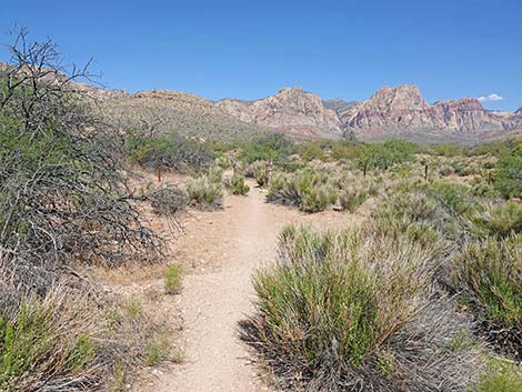
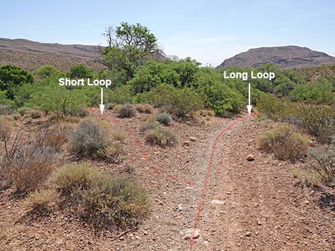
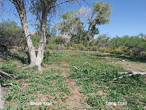
Wheeler Camp Spring is located in Red Rock Canyon National Conservation Area, about 30 minutes from downtown, but not on the Scenic Loop Road. From West Charleston Blvd at the entrance to the Scenic Loop Road, continue west on Charleston for 6.7 miles to an unsigned spur road on the right (south). Turn right onto the Wheeler Camp Spring Trailhead parking lot. Park here; this is the trailhead. The Hike The Wheeler Camp Spring area is crisscrossed with use-trails. There are, however, two logical hikes that people can do in this area: the Short Loop (0.42 miles RT) and the Long Loop (0.77 miles RT). Both loops start and stop at the same place, but the Long Loop goes farther down the wash and passes the old spring box where free water is most likely to be found. |
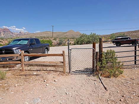
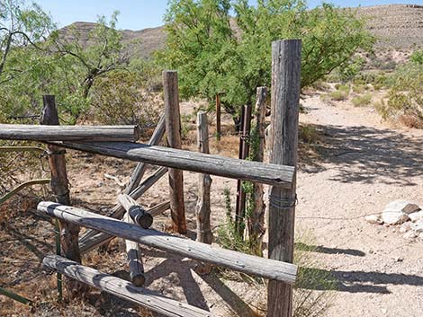 Second gate (view S) |
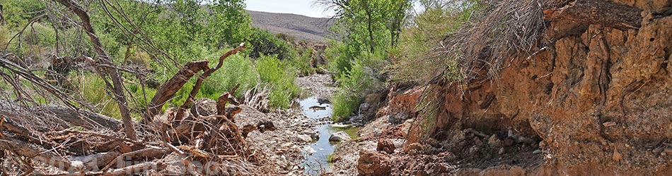
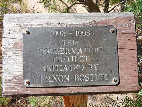
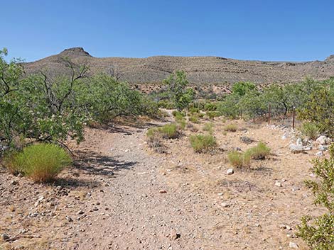
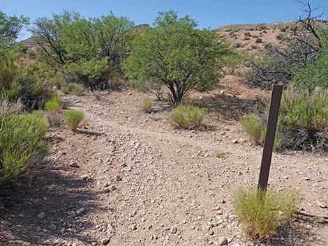
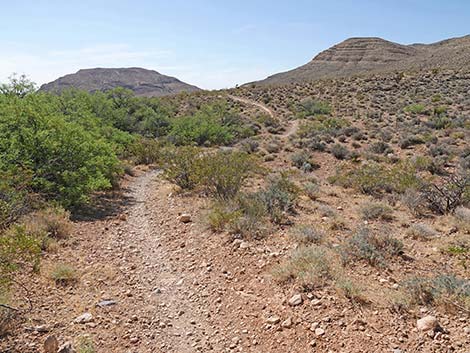
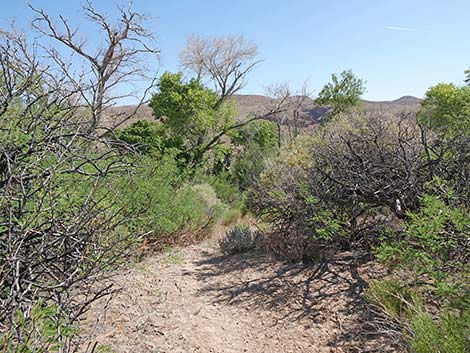
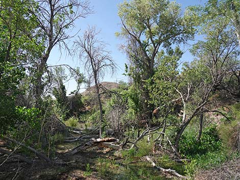
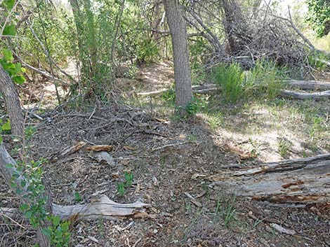
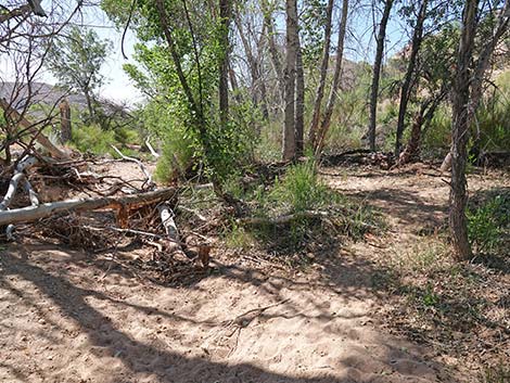
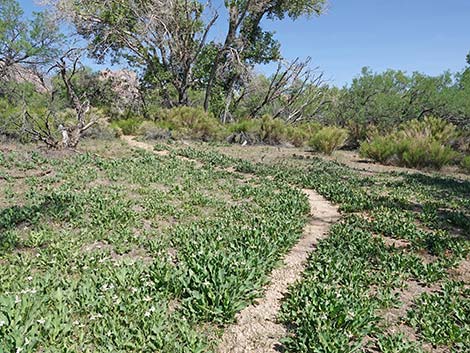
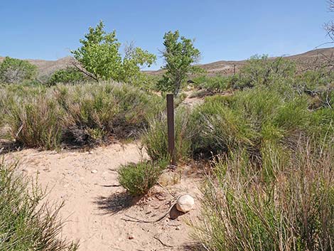
LONG LOOP TRAIL From the trailhead parking area, both loop trails pass through two gates. the first gate (Table 1, Waypoint 01) is chain link and swings open, and the second is a wooden angle-gate (Wpt. 02). Both of these gates are intended to keep feral burros from damaging the riparian vegetation. Unfortunately, the fences have been damaged by flash floods over the years with no sign that they will be fixed. Just beyond the wooden gate, hikers might notice a small sign commemorating the efforts of Vernon Bostick (1914-2013) who worked to protect this area. Vernon was active in local environmental and conservation issues. Continuing, the trail follows an old road that was closed years ago. The trail runs down the edge of Oak Creek Wash at the upstream end of the riparian area. To the right is mostly open desert, but to the left the area is mostly green with ground cover and tall trees. Oak Creek Wash normally is dry at this point, but the wash floods, and during spring, water can be found just a few yards down the wash. |
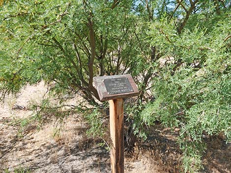 Small sign in honor of Vernon Bostick (view S) |
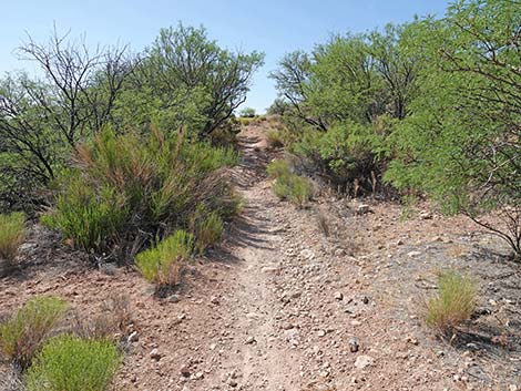
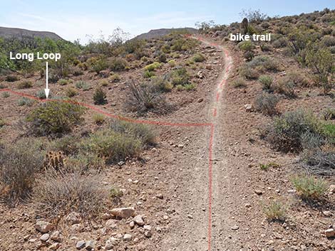
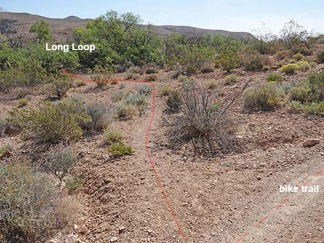
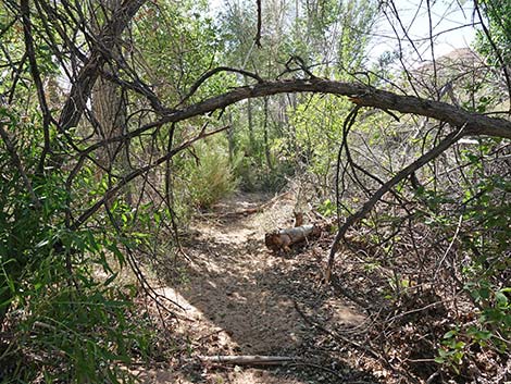
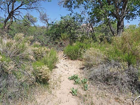
From the edge of Oak Creek Wash, both loop trails cross the wash and continue south to a trail junction (Wpt. 03). As described here, the loop trails fork here, and both continues up the right fork (straight). When returning, both trails return to this point to close the loop before heading out to the trailhead. Just ahead, another trail branches right and heads west. The trail continues up the hillside through a tunnel of Honey Mesquite trees into an open area, which seems to be a wide spot where the old road bent to the right and headed up the hill. The road has been closed for years, but the scar remains visible. Now atop bluffs overlooking the Wheeler Camp riparian area, hikers and birders get a treetop view of the riparian area. The trail continues southeast and drops to pass a broad gully. Climbing out, almost to the next little ridge, the trail forks again (Wpt. 04), but this time the fork is not as visible as before. Here, the Long Loop Trail continues straight, but the Short Loop Trail forks off to the left and drop off the hillside down through the Honey Mesquite thicket. |
 In honor of Vernon Bostick (view S) |
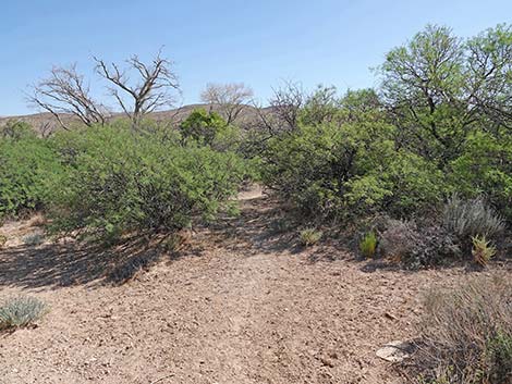
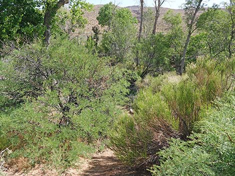
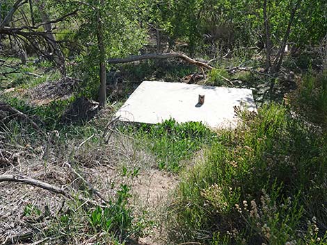
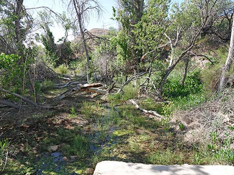
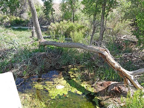
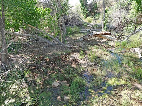
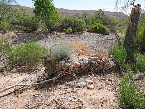
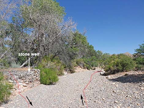
Continuing on the main trail, hikers climb over a low ridge and drop into the next gully. Near to bottom of the gully, the trail forks again (Wpt. 05). This time, the fork is more obvious, and the Long Trail takes the left fork while the bike trail continues southeastward above the bluffs. Now running generally northeast, the Long Trail enters the mesquite thicket and winds among trees, shrubs, and low ground cover, but the trail is fairly obvious. The use-trail leads more-or-less directly to the concrete spring box. The top of the concrete spring box provides an elevated, dry place to look over the area. Birds likely are flitting around, and in season, the Baja California Treefrogs and Red-spotted Toads might be calling. Depending on water levels, hikers can continue off the northeast corner of the spring box using stones to stay out of the water. If the water is too deep, hikers will have to go back and use the Short Loop Trail to get to the wash. Off the spring box, hikers can follow a use-trail through the unkempt woods out to the edge of Oak Creek Wash, emerging from the woods at the remains of a stone weir. The weir was built to slow the creek through the preserve area, but apparently the floods had other ideas. |
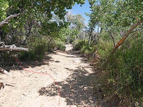
 The trail follows an old road (view S) |
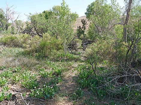
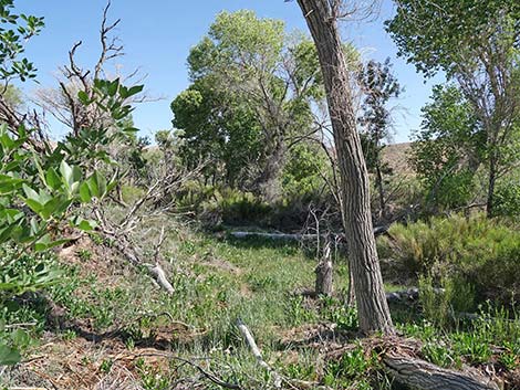
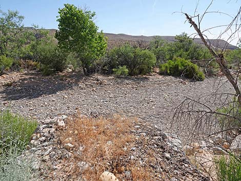
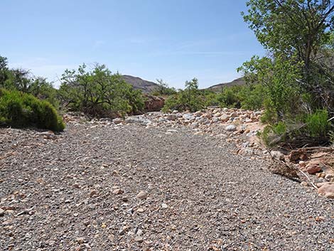
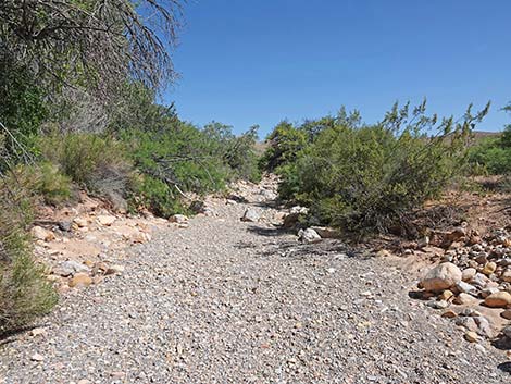
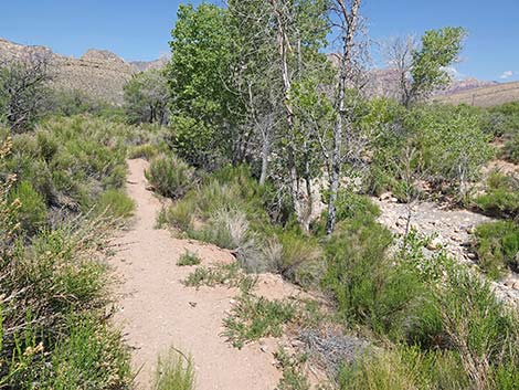
In Oak Creek Wash, hikes can turn right and head downstream looking for open water. Usually, small puddles and pools can be found, but sometimes the wash is entirely dry. After wandering downstream to the edge of the preserve (Wpt. 07), hikers can continue to Blue Diamond or turn around. Heading back up the wash, hikers will eventually return to the stone weir (Wpt. 06). Continuing up Oak Creek Wash for another 100 yards (Wpt. 08), hikers will be adjacent to the Meadow area and should look for a way to penetrate the streamside vegetation, which will change with each flood. Keep an eye on the tallest trees, as those are in the target area. Following use-trails generally southwestward, hikers soon arrive in the Meadow (Wpt. 09). During winter, the meadow area can be sparsely vegetated, but it is clearly an open area among the tall Cottonwood trees. During spring and summer, the ground here is carpeted with Yerba Mansa, a fairly tall, leafy green herbaceous plant that produces large white flowers. |
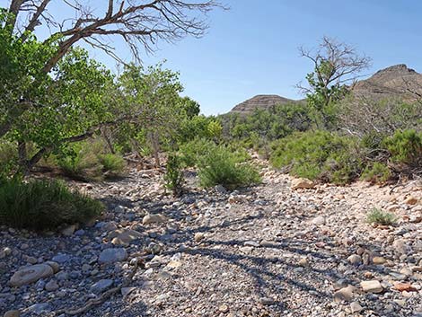
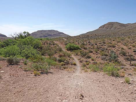
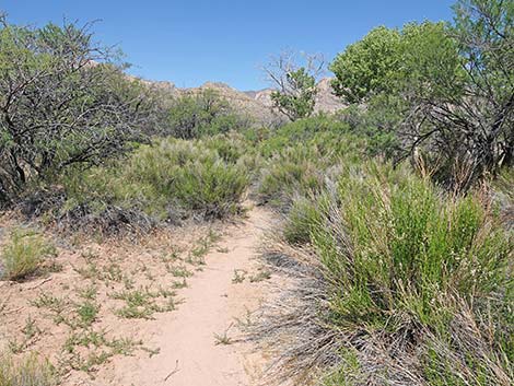
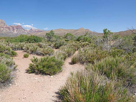
 Approaching Oak Creek Wash (view S) |
Even though this hike is short, the meadow makes for a nice place to sit and relax, and perhaps listen to the birds and frogs. The wind often rustles through the leaves of the cottonwood trees too. In the Meadow (Wpt. 09), the Short Loop Trail and Long Loop Trail rejoin, and together they head northwest across the length of the meadow. Departing the meadow, the trail nears Oak Creek Wash and follows upstream on a bench above the wash. In this area, the vegetation can be quite dense, but soon hikers emerge from the trees onto the edge of the desert at a trail junction (Wpt. 03) where the loop is closed. Turning right onto the old road, hiker might notice their outgoing footprints in the dust as they cross Oak Creek Wash and continue north towards the two gates and the trailhead (Wpt. 01). |
 Oak Creek Wash (view SE down the wash towards riparian area) |
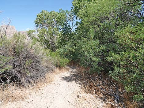
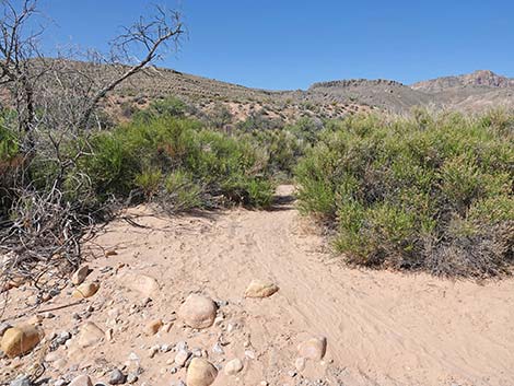 Leaving Oak Creek Wash (view S) |
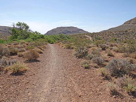
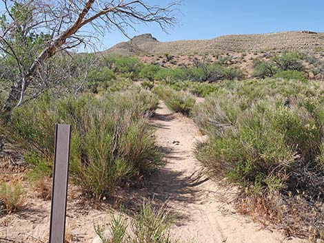 Trail continues beyond Oak Creek Wash (view S) |
 Fork in the trail; loop trails stay right (view SE) |
 A trail merges from the right (view S) |
 Looking right at trail junction; nice view -- not the trail (view NW) |
 Trail climbs through a tunnel of mesquite trees (view SE) |
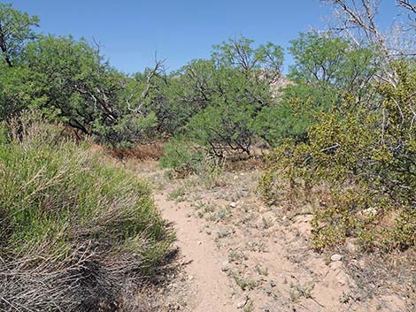
 Open area where the old road bends to the right (view SE) |
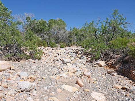
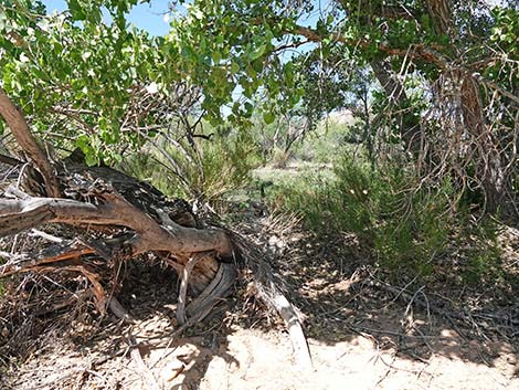
 Trail departs old road and runs down through gully (view SE) |
 Climbing out of gully towards low ridge (view SE) |
 Trail forks; short loop turns left onto faint trail (view SE) |
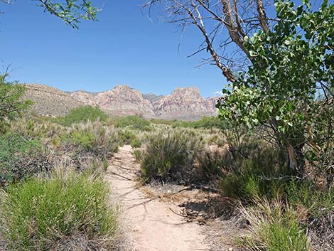
 Long Loop continues across rolling terrain (view SE) |
 Trail forks; Long Loop turns left onto faint trail (view SE) |
 Long Loop turns left towards mesquite thicket (view E) |
 Trail runs down towards mesquite trees (view NE) |
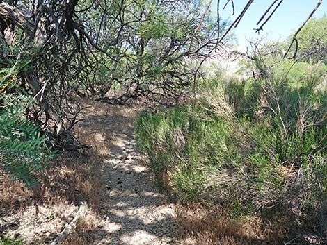
 Trail winds through mesquite trees (view NE) |
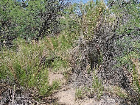
 Trail winds through tall shrubs (view NE) |
 Trail winds through low shrubs (view NE) |
 Wheeler Camp Spring Box (view NE) |
 Swamp ground below spring box (view SE) |
 Swamp ground at spring box (view NW) |
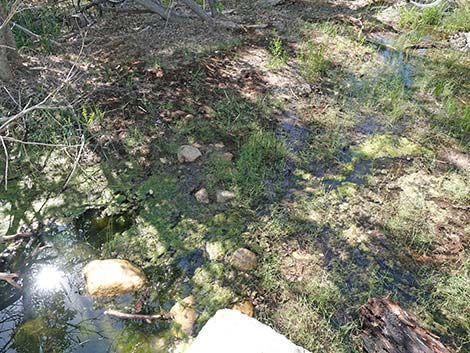
 Riparian habitat (view NW from atop spring box) |
 Riparian habitat (view SE from atop spring box) |
 Stones provide dry foot steps beyond the spring box (view SE) |
 Stones provide dry foot steps beyond the spring box (view SE) |
 Trail runs through unkempt riparian woods (view E) |
 Hikers can follow a bit of trail through the trees (view SE) |
 Hikers can follow a bit of trail through the trees (view SE) |
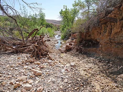
 Trail emerges from woods at stone weir on Oak Creek Wash (view NE) |
 Trail atop stone weir at edge of Oak Creek Wash (view NE) |
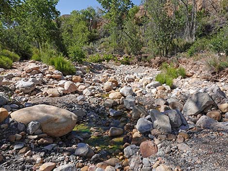
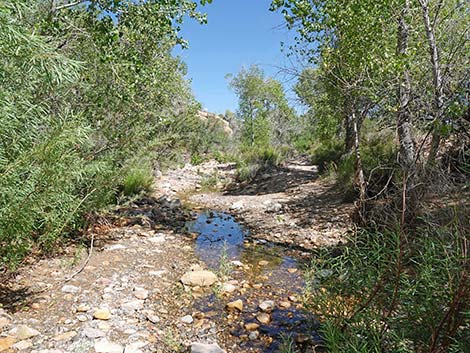
 Oak Creek Wash (view SE) |
 Oak Creek Wash (view S) |
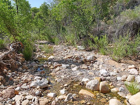
 A damp spot in Oak Creek Wash (view S) |
 Another damp spot in Oak Creek Wash (view S) |
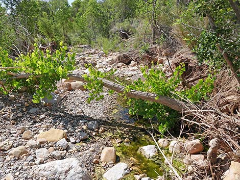
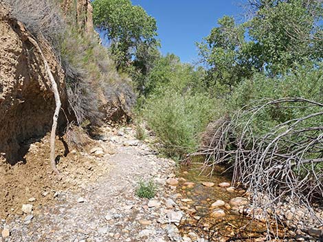
 Oak Creek begins to flow (view S) |
 Oak Creek flows along base of bluffs (view SE) |
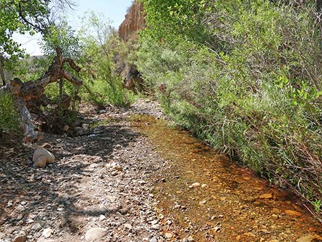
 Open water in Oak Creek beyond original edge of preserve (view S) |
 Returning up along Oak Creek (view NW) |
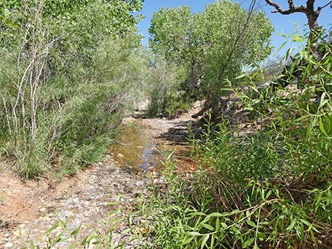 Returning up along Oak Creek (view NW) |
 Returning up along Oak Creek (view NW) |
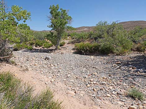
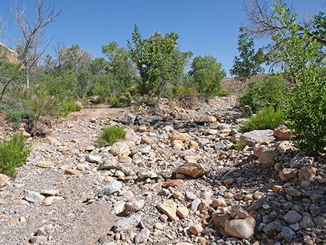 No more open water in Oak Creek Wash (view NW) |
 No more open water in Oak Creek Wash (view NW) |
 Continuing up Oak Creek Wash (view NW) |
 Back to the stone weir along Oak Creek Wash (view NW) |
 Long Trail continues up Oak Creek Wash (view NW) |
 Long Trail continues up Oak Creek Wash; turns left (view NW) |
 Long Trail turns left out of Oak Creek Wash (view NW) |
 Exiting Oak Creek Wash towards tall cottonwood trees (view SW) |
 Exiting Oak Creek Wash towards tall cottonwood trees (view SW) |
 Last stream channel; trail turns left (view NW) |
 Trail climbs out of Oak Creek Wash towards tall trees (view SW) |
 Long Trail enters Wheeler Camp Meadow (view W) |
 In the meadow, short and long loop merge (view NW) |
 Trail crosses length of meadow (view NW) |
 Trail departs meadow into shrub thickets (view NW) |
 Trail winds through shrub thickets (view NW) |
 Trail winds through mesquite thickets (view NW) |
 Trail winds through more open area (view NW) |
 Trail winds along Oak Creek Wash (view NW) |
 Seems to end, but trail turns left (view NW) |
 Trail winds through shrub thickets (view NW) |
 Trail winds through shrub and mesquite thickets (view NW) |
 Trail emerging from the thickets (view NW) |
 Trail marker announces trail Junction (view NW) |
 Closing the loop, trail turns right towards the wash (view N) |
 Approaching another trail marker (view N) |
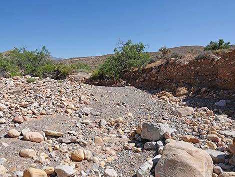
 Trail crosses back over Oak Creek Wash (view N) |
 Returning to the second gate (view N) |
 Approaching the first gate (view N) |
 Returning to the trailhead (view N) |
Table 1. Hiking Coordinates Based on GPS Data (NAD27; UTM Zone 11S). Download Hiking GPS Waypoints (*.gpx) file.
| Wpt. | Location | UTM Easting | UTM Northing | Elevation (ft) | Point-to-Point Distance (mi) | Cumulative Distance (mi) |
|---|---|---|---|---|---|---|
| 01 | Trailhead Gate | 642483 | 3990969 | 3,429 | 0.00 | 0.00 |
| 02 | Second Gate | 642484 | 3990945 | 3,427 | 0.02 | 0.02 |
| 03 | Trail Junction | 642475 | 3990856 | 3,426 | 0.06 | 0.08 |
| 04 | Trail Junction | 642573 | 3990766 | 3,442 | 0.09 | 0.17 |
| 05 | Trail Junction | 642611 | 3990724 | 3,446 | 0.04 | 0.20 |
| 06 | Trail Junction | 642711 | 3990740 | 3,413 | 0.09 | 0.29 |
| 07 | Trail Junction | 642798 | 3990631 | 3,395 | 0.10 | 0.39 |
| 06 | Trail Junction | 642711 | 3990740 | 3,413 | 0.10 | 0.50 |
| 08 | Trail Junction | 642673 | 3990812 | 3,406 | 0.05 | 0.55 |
| 09 | Trail Junction | 642637 | 3990805 | 3,415 | 0.03 | 0.57 |
| 03 | Trail Junction | 642475 | 3990856 | 3,426 | 0.12 | 0.69 |
| 02 | Second Gate | 642484 | 3990945 | 3,427 | 0.06 | 0.75 |
| 01 | Trailhead Gate | 642483 | 3990969 | 3,429 | 0.02 | 0.77 |
Happy Hiking! All distances, elevations, and other facts are approximate.
![]() ; Last updated 240330
; Last updated 240330
| Hiking Around Red Rocks | Hiking Around Las Vegas | Glossary | Copyright, Conditions, Disclaimer | Home |