Southern Nevada Wilderness Areas
 |
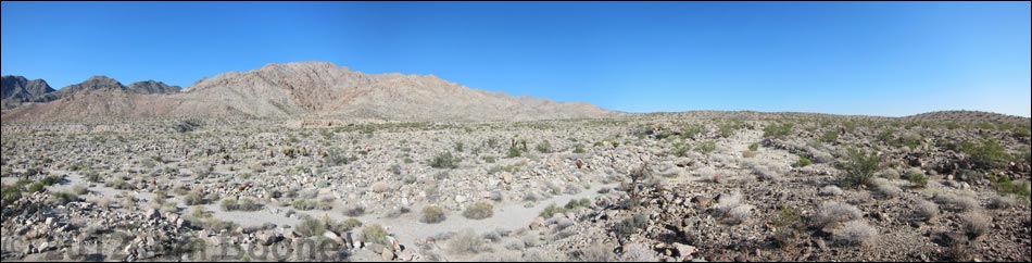
Location The Ireteba Peaks wilderness area is located about 45 air-miles south of Las Vegas, between Nelson and Searchlight, and east of Highway 95. Link to Wilderness Area Map |
 |
Southern Access
Access is from dirt roads along the north and south sides of the wilderness area, and from Lake Mohave on the east. The road to the southern boundary is graded occasionally, so it is in reasonable condition and suitable for an adventurous driver with a 2WD, high clearance vehicle. I drove it using 2WD in my jeep, but it was comforting to know that I could shift into 4WD if necessary. To get to the south side of the wilderness area, drive south from Las Vegas on Highway 95 to Searchlight (Table 1, Site 0927). In Searchlight, turn east (left) onto Cottonwood Cove Road (the eastern extension of Highway 164) and drive east for about 6.8 miles to where high-tension powerlines cross the paved road. Pass under the powerlines and continue east for another 0.9 miles to an unmarked dirt road on the north (left) side of the road (Site 1320); this is Rockefeller Mine Road (NPS Rd 32). |
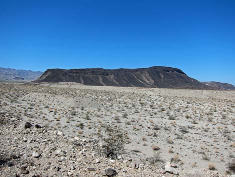 |
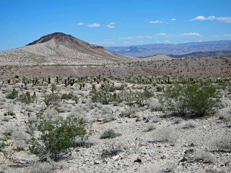
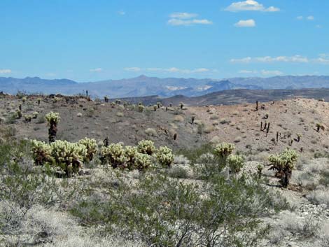
Turn left onto Rockefeller Mine Road and drive northeast on the one-lane graded dirt road. About 0.8 miles out, signs mark the boundary of Lake Mead National Recreation Area and identify this as Road 32 (Site 1321). Follow Rockefeller Mine Road as it winds around the near mountains, runs up and over a pass, drops into a wash system on the southern edge of the wilderness area, and arrives at Opal Mountain Road (NPS Rd 33; Site 1323) and the edge of Ireteba Peaks Wilderness Area. Rockefeller Mine Road deteriorates after passing Opal Mountain Road, but it continues to the northwest towards Rockefeller Mine at the base of the Ireteba Peaks ridge, while Opal Mountain Road runs east to pass the base of Opal Mountain before reaching the shore Lake Mohave. Details of the roads are given on the Rockefeller Mine Road and Opal Mountain Road webpages. |
Table 1. Highway Coordinates Based on GPS Data (NAD27; UTM Zone 11S). Download Highway GPS Waypoints (*.gpx) file.
| Site | Location | UTM Easting | UTM Northing | Latitude (N) | Longitude (W) | Elevation (ft) | Verified |
|---|---|---|---|---|---|---|---|
| 0463 | Cottonwood Cove | 709895 | 3929901 | 35.49229 | 114.68614 | 755 | Yes |
| 0927 | Hwy 95 at Hwy 164, Searchlight | 688813 | 3926424 | 35.46519 | 114.91921 | 3,500 | Yes |
| 1320 | Cottonwood Cove Rd at NPS Rd 32 | 701103 | 3928204 | 35.47882 | 114.78341 | 1,982 | GPS |
| 1321 | NPS Rd 32 at NPS Bndry | 701754 | 3929197 | 35.48764 | 114.77599 | 1,896 | GPS |
| 1322 | NPS Rd 32 at NPS Rd 34 | 706348 | 3932940 | 35.52042 | 114.72444 | 1,161 | GPS |
| 1323 | NPS Rd 32 at NPS Rd 33 | 702757 | 3937881 | 35.56568 | 114.76277 | 1,768 | GPS |
Note: All distances, elevations, and other facts are approximate.
![]() ; Last updated 190905
; Last updated 190905
| Ireteba Peaks Wilderness | Southern NV Wilderness Areas | Hiking | Copyright, Conditions, Disclaimer | Home |