Hiking Around Las Vegas, Red Rock Canyon National Conservation Area
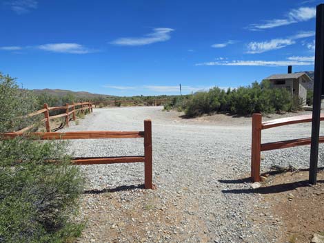
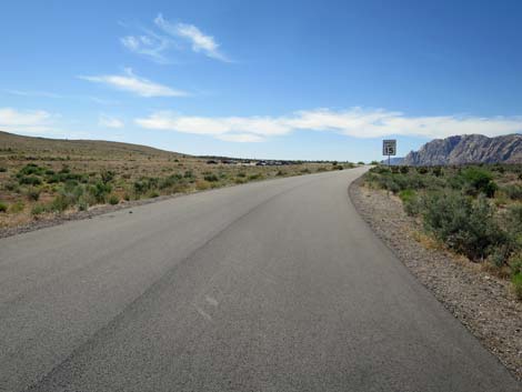
 Northwest corner of Exit Trailhead (view NW) Northwest corner of Exit Trailhead (view NW) |
Overview The Pine Creek--Oak Creek Loop Trail is a fairly easy, 5.5-mile round-trip hike that provides access the Red Rock Cliffs without having to drive on the Scenic Loop Road, and therefore is free. Starting on the Scenic Loop Road, the route runs "backwards" on the one-way road, cuts off to pick up the Pine Creek Canyon Trail and continues up to the historical Wilson homestead. From the homestead, hikers can relax under the trees before heading back out (5-mile hike), or turn south on the Knoll Trail, Arnight Trail, and Oak Creek Road to return to the Scenic Loop Road and back to the trailhead (5.5-mile hike). Link to map. |
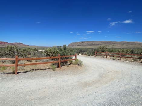
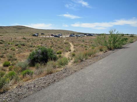
 Through the cable fence, use-trail leads to paved road (view NW) |
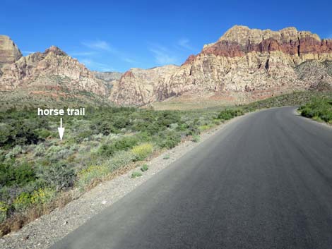
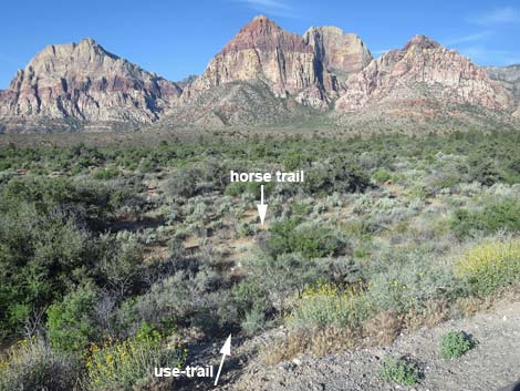
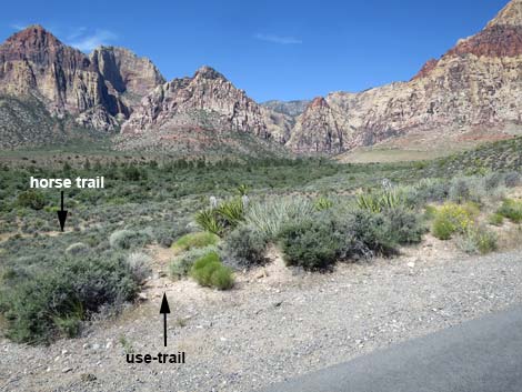
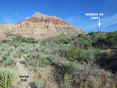
Watch Out Other than the standard warnings about hiking in the desert, ... watch for traffic on the Scenic Loop Road; it seems that drivers rarely keep their speed down to the limit. Consider walking on the horse trail that runs parallel to the roadway. Parts of this hike run on a rocky trail where hikers have to keep watching their feet, but other than that, this is a pretty safe trail. Treat or filter creek water before drinking (there are lots of bighorn sheep in the canyon). While hiking, please respect the land and the other people out there, and try to Leave No Trace of your passage. Also, be sure to bring what you need of the 10 Essentials. |
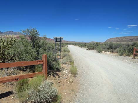
 Use-trail approaching Scenic Loop Road (view NW) |
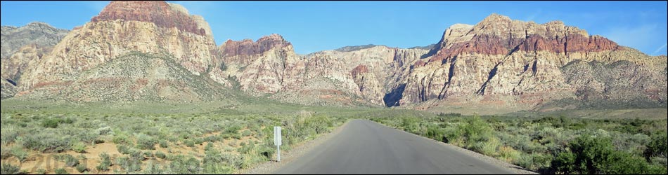
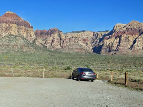
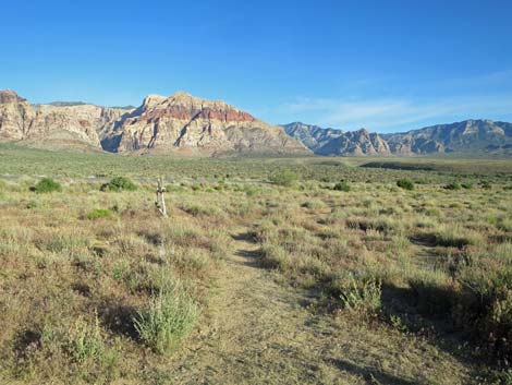
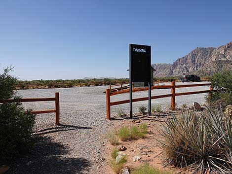
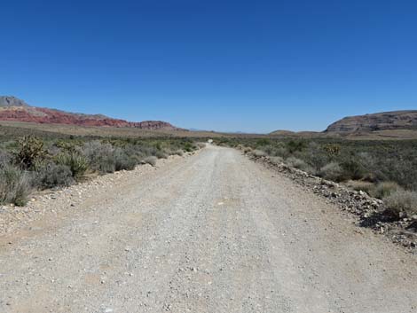
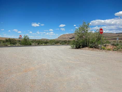
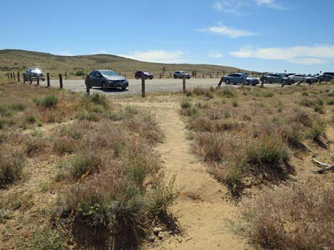
Getting to the Trailhead This hike is located in Red Rock Canyon National Conservation Area, about 35 minutes from town, but not on the Scenic Loop Road. From town, drive out to Red Rocks. From West Charleston Blvd (Highway 159) at the entrance to the Scenic Loop Road, continue west on Charleston for 2.2 miles to the Scenic Loop Road Exit Trailhead, a large gravel parking lot on the right. Park here; this is the trailhead. The Hike From the northwest corner of the Scenic Loop Road Exit Trailhead parking area (Table 1, Waypoint 01), duck through the cable fence and head northwest on a use-trail that runs out to the Scenic Loop Road (Wpt. 02). The route runs north on the Scenic Loop Road and runs 0.5 miles to Oak Creek Road (Wpt. 02). Hikers can turn left onto the gravel Oak Creek Road and hike the loop clockwise (backwards), or continue north on the paved Scenic Loop Road. |
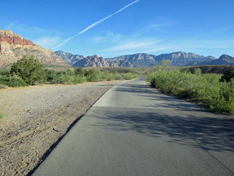
 Route merges onto Scenic Loop Road (view N) |
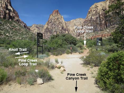
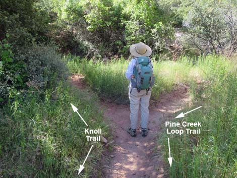
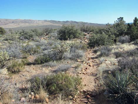
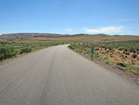
Continuing north on the Scenic Loop Road, the route crosses Pine Creek Wash to run along the base of hills to the north. When the Scenic Loop Road starts to climb onto the hills, the route exits the pavement left (Wpt. 04) and picks up a horse trail that has been paralleling the pavement since the beginning. Staying along the base of the hills, the horse trail runs northwest about 0.4 miles to join the Pine Creek Canyon Trail (Wpt. 05). Following the Pine Creek Canyon Trail westward, the trail passes the entrance and exit from the Fire Ecology Loop Trail (on the left) and Dales Trail (on the right) to arrive at an unmarked trail junction (Wpt. 06) at the historical Wilson Homestead (on the left). Some hikers might stop here, relax, and head directly back to the trailhead (5 miles round-trip). Continuing west a few more yards on the Pine Creek Canyon Trail, hikers arrive at a three-way trail junction (Wpt. 07). Here, Pine Creek Canyon Trail ends, the Pine Creek Loop Trail continues straight (west), while the Knoll Trail turns left (south). For details of getting to this point, see Pine Creek Canyon Trail. |
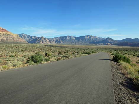
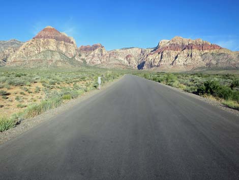
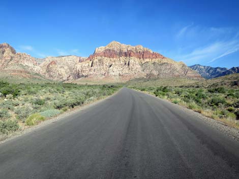
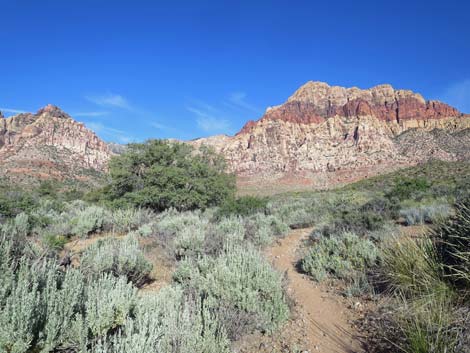
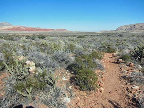
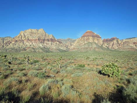 Grand scenery (view W from Scenic Loop Road) |
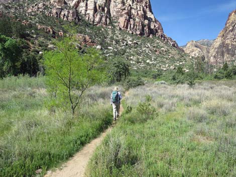
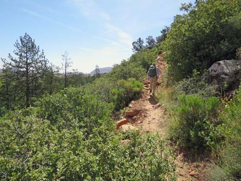
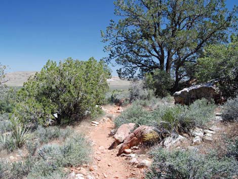
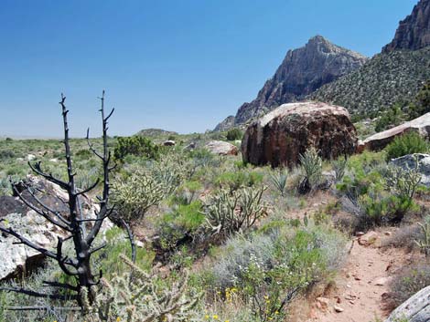
Turning left onto the Knoll Trail, the route runs southwest across Mr. Wilson's garden plot, crosses Pine Creek (listen for frogs and birds during springtime), and continues southwest past a signed trail junction to an unsigned trail junction (Wpt. 08). The Knoll Trail turns left, while the right fork is the returning Pine Creek Loop Trail. Staying left (southeast) on the Knoll Trail, the trail climbs somewhat steeply across the hillside to get up and out of Pine Creek Canyon. Continuing south below the Red Rock Cliffs, the Knoll Trail reaches another trail junction (Wpt. 09). Here, the Knoll Trail turns right to run due south, while the Arnight Trail continues straight running southeast. For details of this part of the hike, see Knoll Trail. Continuing southeast on the Arnight Trail, hikers descend gradually across rocky slopes with grand views out across the valley. In about 1.1 miles, hikers arrive at the Arnight Trailhead (Wpt. 10; part of the Oak Creek Road Trailhead). For details, see Arnight Trail. From the Arnight Trailhead, the route follows Oak Creek Road back to the Scenic Loop Road (Wpt. 03), and then back to the use-trail (Wpt. 02) and the Scenic Loop Road Exit Trailhead (Wpt. 01). |
 Scenic Loop Road approaching mile marker 12 (view W) |
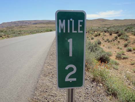 Looking back: mile marker 12 (view E) |
 Scenic Loop Road crossing Pine Creek Wash (view N) |
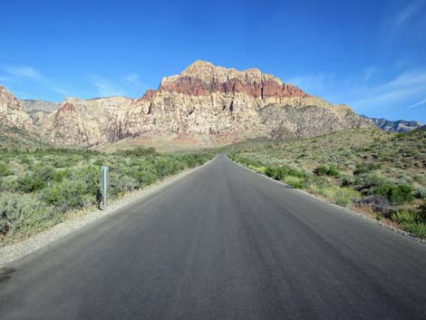
 Scenic Loop Road (view W) |
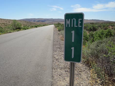
 Scenic Loop Road approaching mile marker 11 (view NW) |
 Looking back: mile marker 11 (view SE) |
 Scenic Loop Road begins to climb onto the hills (view NW) |
 First use-trail leading to horse trail (view W) |
 More efficient use-trail leading to horse trail (view W) |
 Horse trail running parallel to the roadway (view NW) |
 Horse trail runs parallel to the roadway (view NW) |
 Crossing gully, horse trail runs along base of hills (view NW) |
 Horse trail running on gentle terrain at base of hills (view NW) |
 Horse trail running on gentle terrain at base of hills (view NW) |
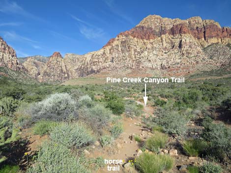 Horse trail approaching Pine Creek Canyon Trail (view NW) |
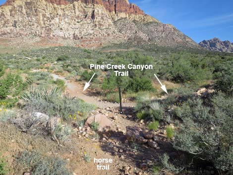 Horse trail at Pine Creek Canyon Trail (view NW) |
 Trail turns left towards Pine Creek Canyon (view W) |
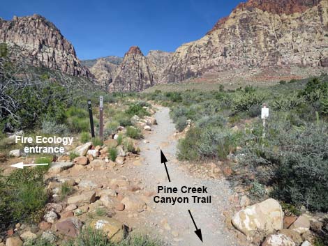 Entrance to Fire Ecology Loop Trail (view W) |
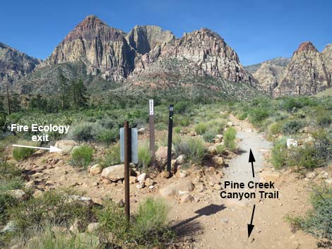 Exit from Fire Ecology Loop Trail (view W) |
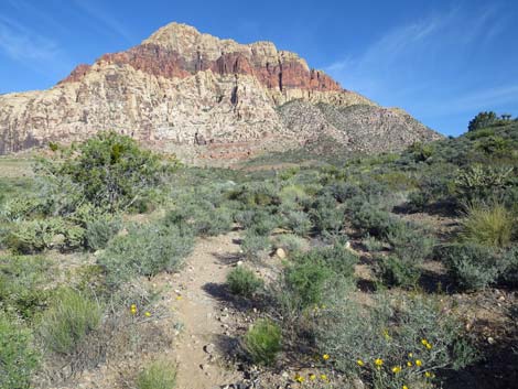
 Pine Creek Canyon Trail approaching Dales Trail junction (view W) |
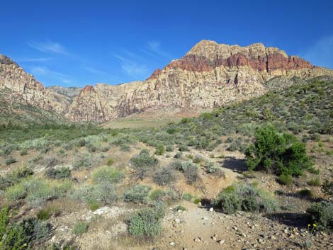
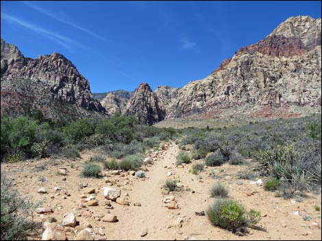
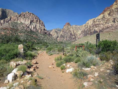
 Pine Creek Canyon Trail (view W) |
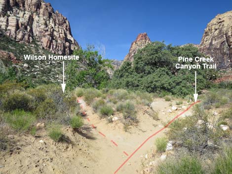 Unmarked trail junction to Wilson Homesite (view W) |
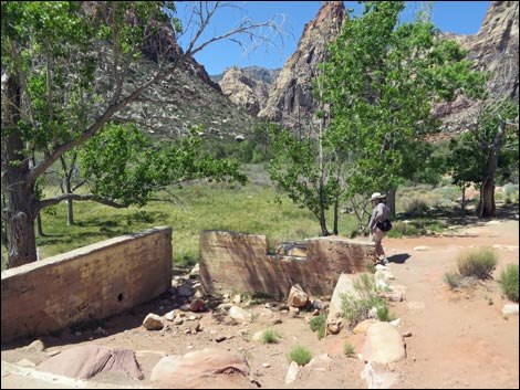 Hiker visiting Wilson Homesite (view W) |
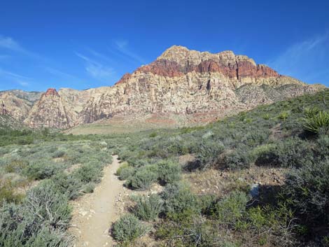
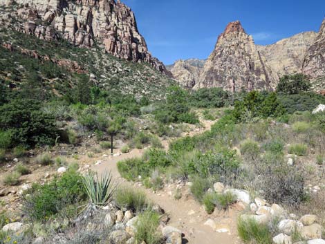
 Pine Creek Canyon Trail approaching trail junction (view W) |
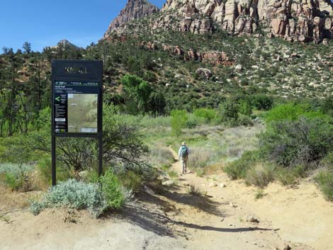 Hiker starting on Knoll Trail (view S) |
 Hiker crossing Mr. Wilson's old garden plot (view SW) |
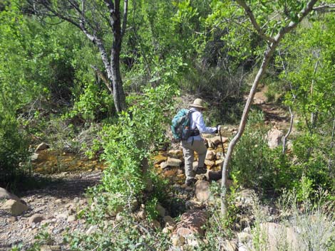 Hiker crossing Pine Creek (view SW) |
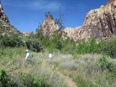 Hiker passing a trail sign (view W) |
 Sign at use-trail along creek; stay left (view W) |
 Hiker approaching trail junction (view S) |
 Hiker at trail junction; Knoll Trail stays left (view S) |
 Hiker angling up across the hillside (view E) |
 Knoll Trail arrives at top of hillside (view SE) |
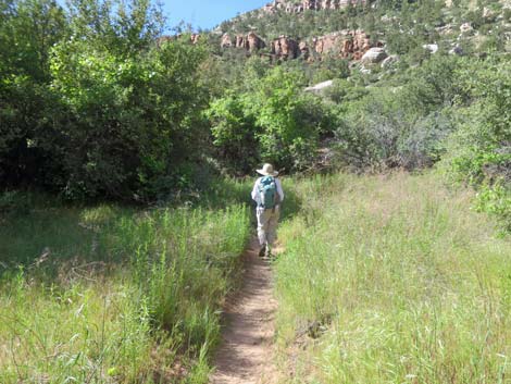
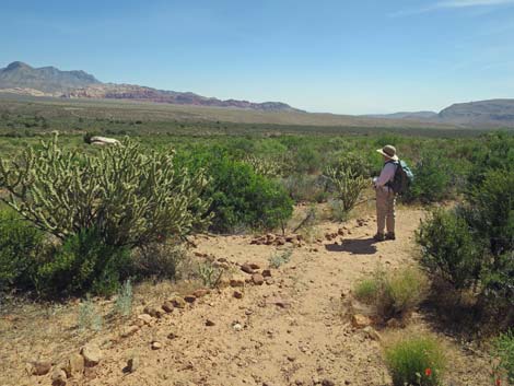
 Knoll Trail traverses gentle slopes (view S) |
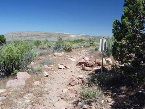 Knoll Trail approaching Arnight Trail (view SE) |
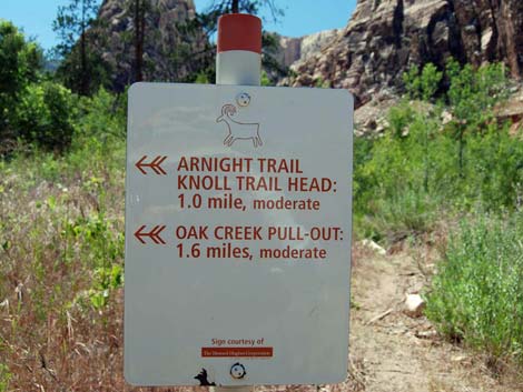
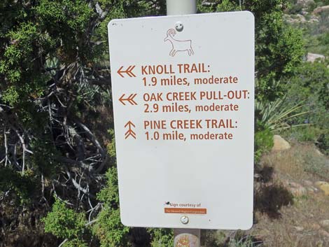 Knoll-Arnight trail sign (view SW) |
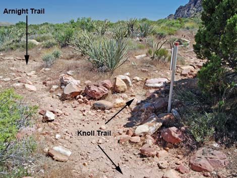 Knoll Trail at Arnight Trail (view S) |
 Arnight Trail at use-trail from Pine Creek Trailhead; stay right (view E) |
 Rocky trail crossing shrubby hillside (view SE) |
 Smooth trail (view E) |
 Arnight Trail approaching Oak Creek Canyon Trailhead (view S) |
 Arnight Trailhead at Oak Creek Canyon parking (view SE) |
 Arnight Trailhead at Oak Creek Canyon parking (view SE) |
 Crossing Oak Creek Road trailhead parking (view SE) |
 Exiting the Arnight Trailhead parking area (view E) |
 Departing the Arnight Trailhead parking area (view E) |
 Oak Creek Road (view NE) |
 Oak Creek Road approaching one-way Scenic Loop Road (view NE) |
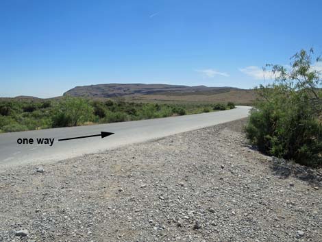 Oak Creek Road turning onto one-way Scenic Loop Road (view NE) |
 Scenic Loop Road approaching mile marker 12 (view SE) |
Mile marker 12 (view SE) |
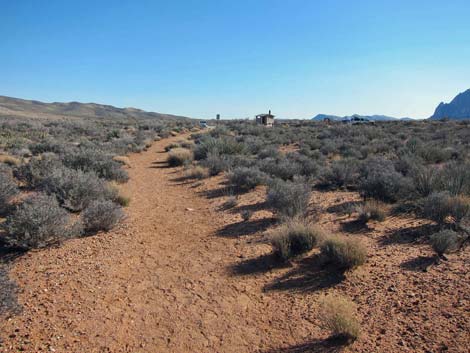
 Exit trailhead comes into view (view SE) |
 Use-trail to Exit trailhead departs the pavement (view SE) |
 Use-trail returning to Exit trailhead parking area (view SE) |
Table 1. Hiking Coordinates Based on GPS Data (NAD27; UTM Zone 11S). Download Hiking GPS Waypoints (*.gpx) file.
| Wpt. | Location | UTM Easting | UTM Northing | Elevation (ft) | Point-to-Point Distance (mi) | Cumulative Distance (mi) |
|---|---|---|---|---|---|---|
| 01 | Exit Trailhead | 639610 | 3997309 | 3,798 | 0.00 | 0.00 |
| 02 | Merge onto Scenic Loop Road | 639560 | 3997356 | 3,791 | 0.04 | 0.04 |
| 03 | Scenic Loop Road at Oak Creek Road | 638987 | 3997811 | 3,803 | 0.52 | 0.56 |
| 04 | Exit Scenic Loop Road | 637873 | 3998701 | 3,885 | 0.95 | 1.51 |
| 05 | Merge onto Pine Creek Canyon Trail | 637362 | 3998842 | 3,933 | 0.37 | 1.88 |
| 06 | Trail Junction to Wilson Homestead | 636513 | 3998546 | 4,031 | 0.59 | 2.47 |
| 07 | Begin Knoll Trail | 636472 | 3998550 | 4,043 | 0.03 | 2.50 |
| 08 | Knoll-Pine Creek Loop Trail Junction | 636345 | 3998459 | 4,054 | 0.11 | 2.61 |
| 09 | Knoll-Arnight Trail Junction | 636704 | 3997957 | 4,134 | 0.45 | 3.06 |
| 10 | Arnight Trailhead | 638126 | 3997167 | 3,904 | 1.13 | 4.19 |
| 03 | Scenic Loop Road at Oak Creek Road | 638987 | 3997811 | 3,803 | 0.69 | 4.88 |
| 02 | Merge onto Scenic Loop Road | 639560 | 3997356 | 3,791 | 0.51 | 5.39 |
| 01 | Exit Trailhead | 639610 | 3997309 | 3,798 | 0.05 | 5.44 |
Happy Hiking! All distances, elevations, and other facts are approximate.
![]() ; Last updated 240330
; Last updated 240330
| Hiking Around Red Rocks | Hiking Around Las Vegas | Glossary | Copyright, Conditions, Disclaimer | Home |